My Thru Hike

Or, There and Back Again

Page 8 of 10

Virginia

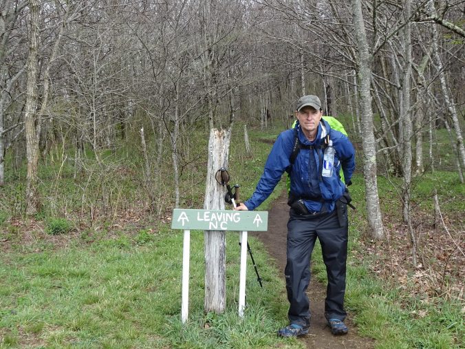
I have now entered the state of Virginia and left Tennessee for good. The AT now travels 554 miles through Virginia which is more than one quarter of the entire length of the trail.
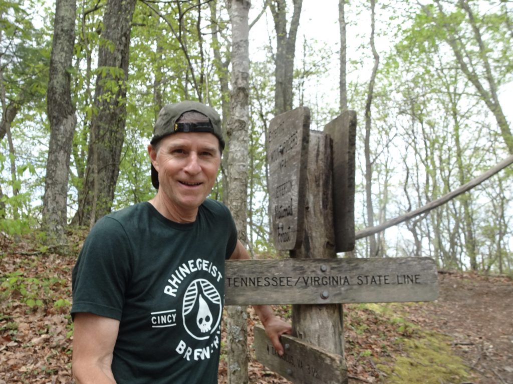
Some of the other thru hikers have forewarned me about the “Virginia blues”.  Supposedly, many people quit the trail during this section.  I did some Googling to see what this was about and found these common grievances.

  • The honeymoon period is over. The newness of the trail has worn off.
  • The scenery is repetitive and monotonous.
  • Hiking “cliques” have split up due to people hiking slower, faster, or having gotten off the trail.
  • Virginia is not flat, contrary to some preconceived notion.

Don’t expect any of these complaints from me. I am on a six-month vacation, after all.

A few miles after crossing into Virginia, I entered the town of Damascus which is unquestionably the most iconic trail town on the AT.  The trail takes you right down East Laurel Avenue, the main drag. I stayed the night at “The Place”, a hostel affiliated with the Methodist Church.  It was a $7 donation for a bunk and shower. What a bargain!
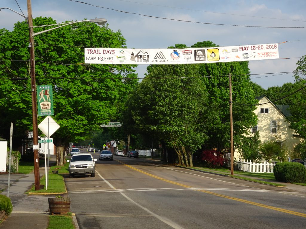
Damascus, VA

Following the AT through town

“The Place” Hostel

The rules of the hostel are no smoking, no alcohol, and no profanity, which suited me just fine.  During my stay, the caretaker actually turned away a couple of “hiker bums”, which I was happy to see.  I was returning from dinner when I found the caretaker arguing with them. The one hiker was cursing loudly with slurred speech, so I figured he was violating at least two of the three house rules.  The caretaker finally said, “Get off the property or I am calling the police!”, and off they went into the night.

Next weekend, Damascus is hosting their 32nd annual Appalachian Trail Days Festival.  This is the biggest event of the year on the trail.  There are eight pages of activities in their brochure including a lineup of nine bands. At the festival, all kinds of debauchery takes place, but also many wholesome activities like gear vendor exhibits, a bird watching walk, and lectures by noteable outdoorsman. The feature event is the hiker parade where current and former AT hikers line up by year and march through the town.
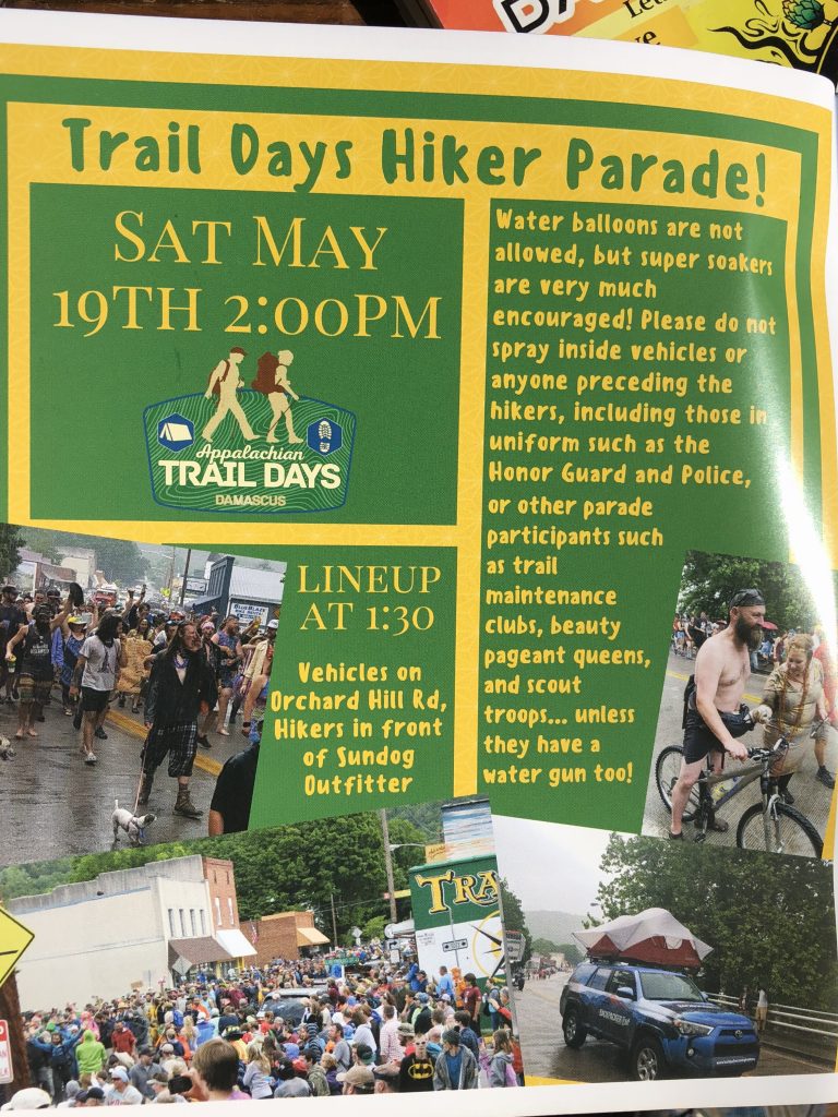
Even though I will be 70 miles north of Damascus by then, I am hoping to attend. I have heard that there are shuttles at all the trail crossings for many miles north and south of the town. Supposedly, the folks on trail descend on the town for the weekend, then head back to where they left off.  We’ll see.

Not far north of Damascus, the trail passes through the Grayson Highlands.  The highlands are a series of grassy meadows at about 5000 feet elevation which are home to “wild” ponies and other livestock.
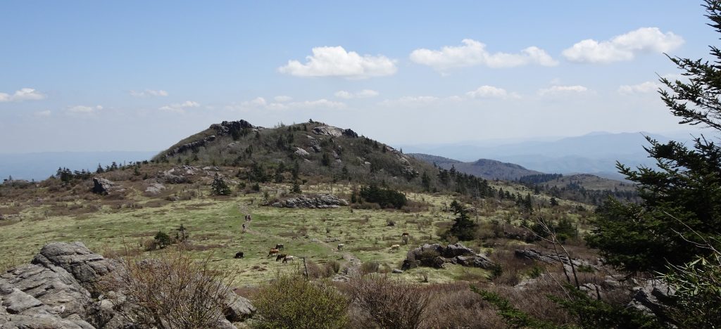
Longhorns on the Grayson Highlands

The ponies are wild in the sense that they live off the native vegetation, but are very tame.  In fact, it only takes about five minutes for them to go from “cute” to being a nuisance.  They immediately try to lick the sweat off your arms and legs.  If you don’t keep an eye on you trekking poles, they drag them away and lick the handles and straps. The ponies definitely know where the salt is.
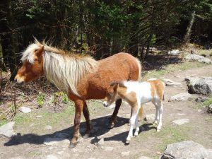
Ponies on the trail
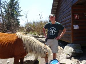
Randy the human salt lick

The pony herd is managed by the Wilbur Ridge Pony Association which rounds them up every fall for a health check.

It is a little intimidating at first to walk through the fields of livestock, but you figure out pretty quickly that they pay you little notice.
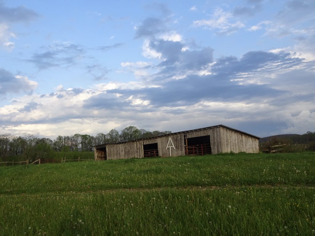
Livestock shed
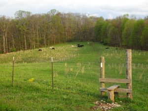
Trail through the pasture
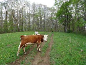
Hey cow! Out of my way!
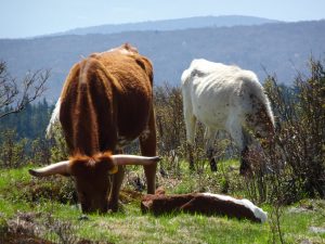
Living the good life
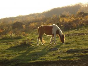
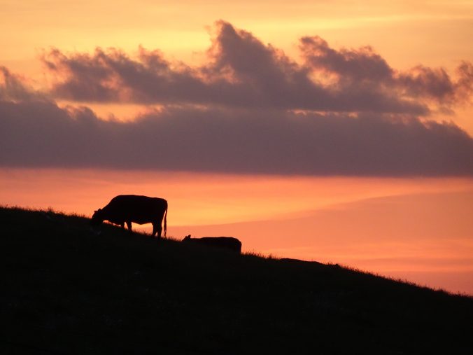
Grazing at sunrise

I talked to a couple of section hikers from Williamsburg who said this is the perfect time for wildflowers in Virginia. So far, I would agree.
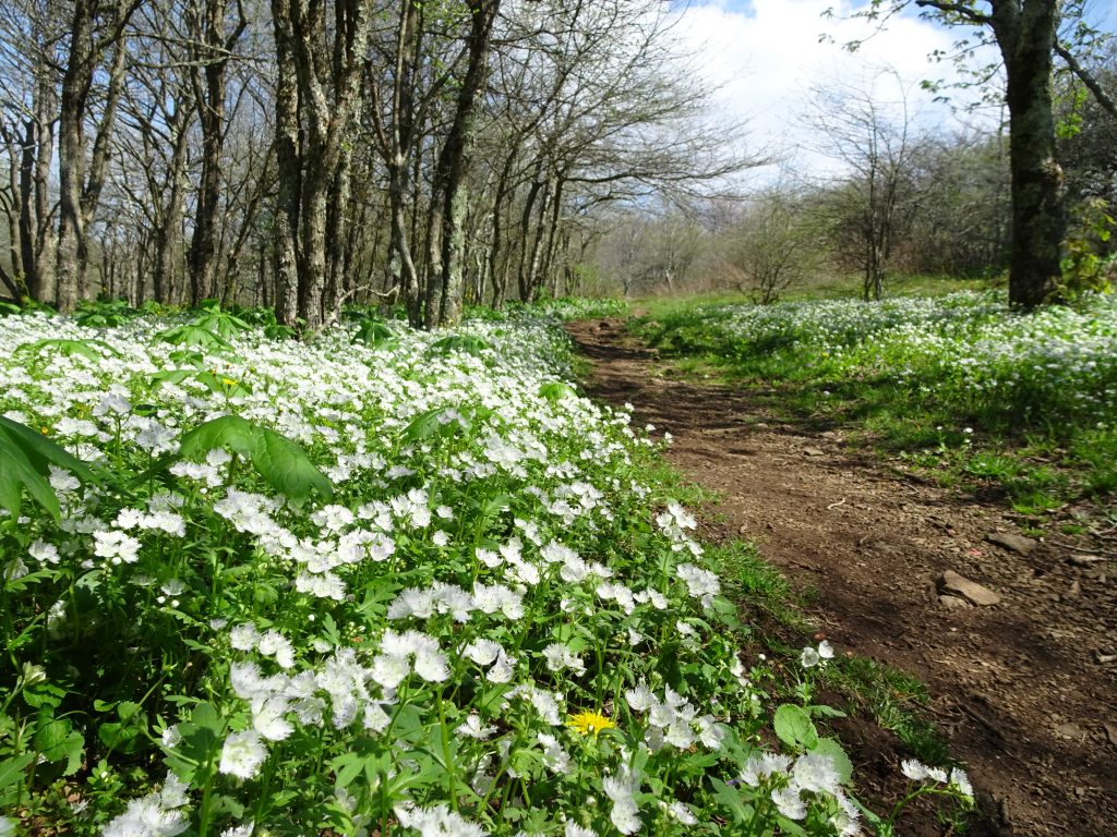
Virginia wildflowers

I have been enjoying the many varieties of Violets I see along the trail.  I thought to try to classify them, but after looking on the web, I realize I am not a worthy enough botanist to do so.  There are just too many kinds.   Here are some that I have seen, with my own captions, not the botanically-correct names.
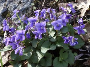
Purple Violets
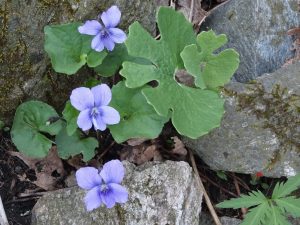
Lavender Violets
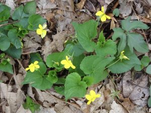
Yellow Violets
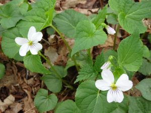
White Violets

The petals have amazing detail if you look closely.
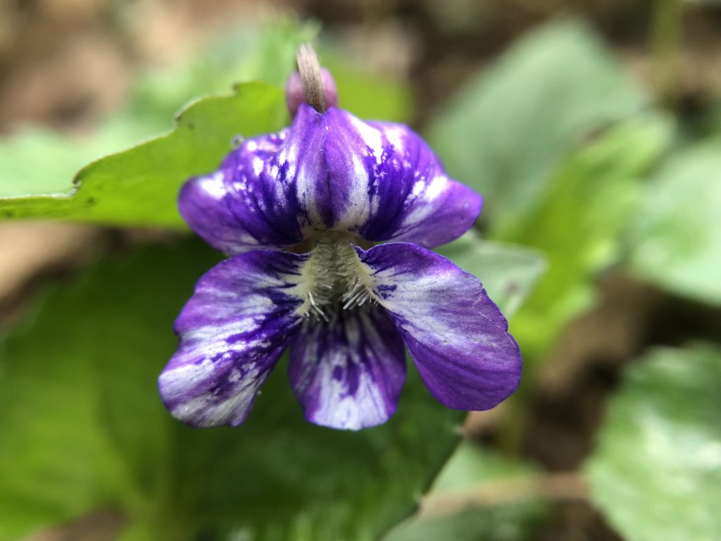
Variegated
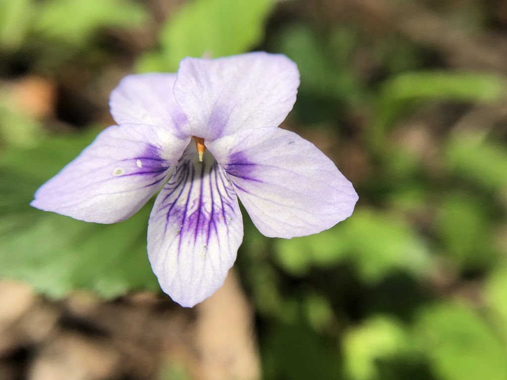
White with purple stripes

I had one big success with my birding.  I had been seeing this bird (which is easy to spot in the woods) for about a week before I finally found one to sit still for a photo.  The striking scarlet color is for real. No photoshop needed.
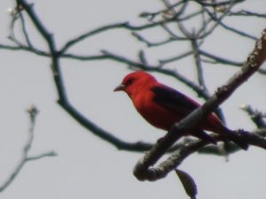
Scarlet Tanager
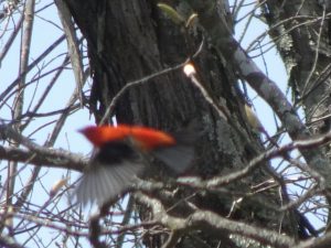
Scarlet Tanager taking flight

On the Lepidoptera front…
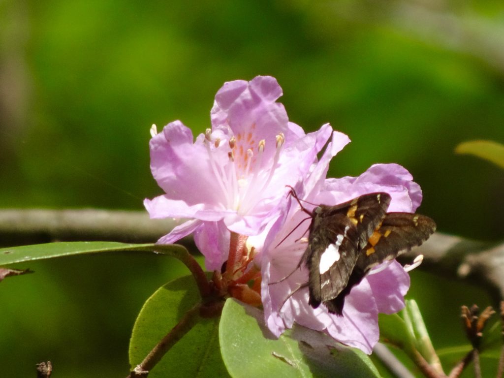
Silver-spotted Skipper

Someone asked how I go about fitting all my gear into my pack.  Here’s a video if you are interested.

One final sighting on the trail.  This person is a day-hiker from Covington, KY, of all places. He said I was about the twentieth person to ask to take his picture. I cannot imagine why…
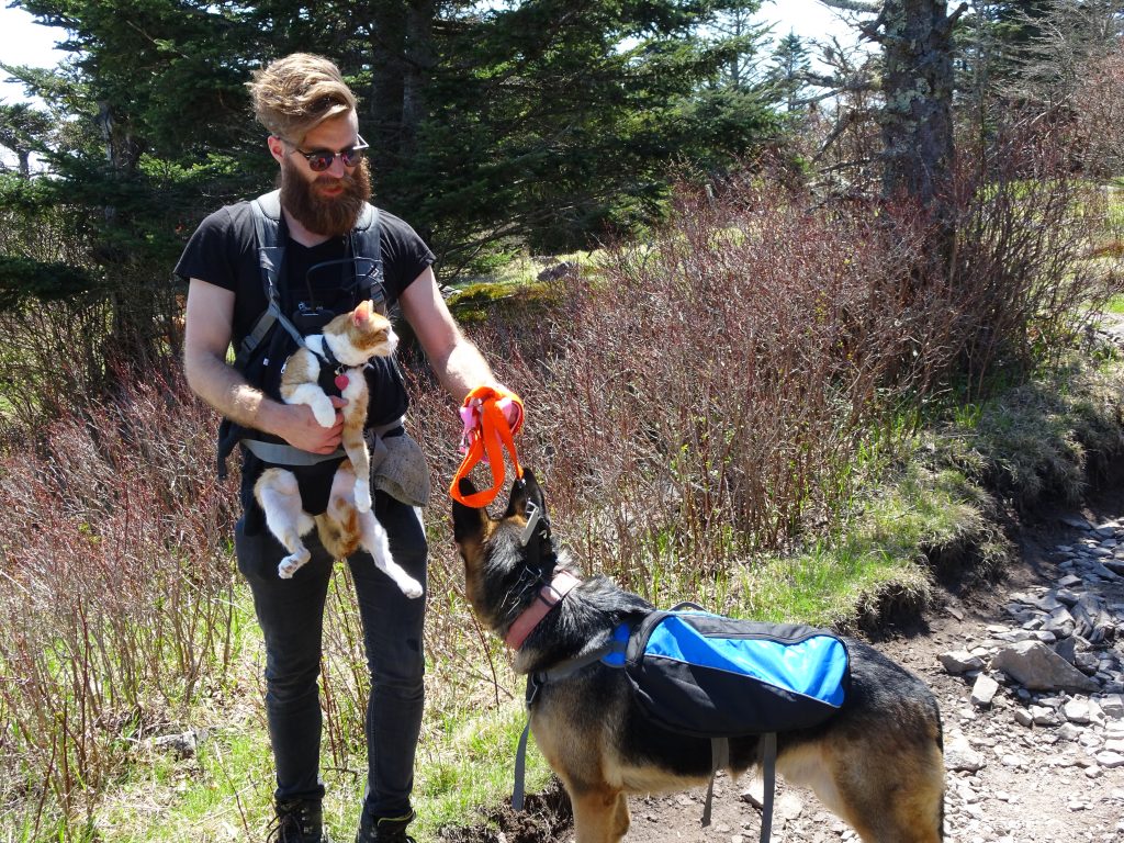
Trail oddity

If you’d like to receive an email when a new post is up on the blog, click the email icon on the bottom of the page to subscribe.  Thanks for following!
Tennessee

The trail has finally left North Carolina and entered Tennessee for good.  For the last 220 miles, the trail has roughly straddled the NC-TN border which follows the spine of the Appalachians.  On a ridge line, step to the right and you are in North Carolina. Step to the left and you are in Tennessee.

During the past week I crossed a section called the Roan Highlands.  The highlands start with a climb of Roan Mountain, 6285 feet elevation.  The top of this mountain was once the site of the “legendary” Cloudland Hotel which operated from 1885 to 1910. Today, there is barely a trace of the hotel other than a forest service placard.  The hotel was built right on the NC-TN line.  Supposedly, there was a line painted across the banquet room.  On the Tennessee side of the line, guests could legally consume alcohol, whereas on the North Carolina side, it was illegal.

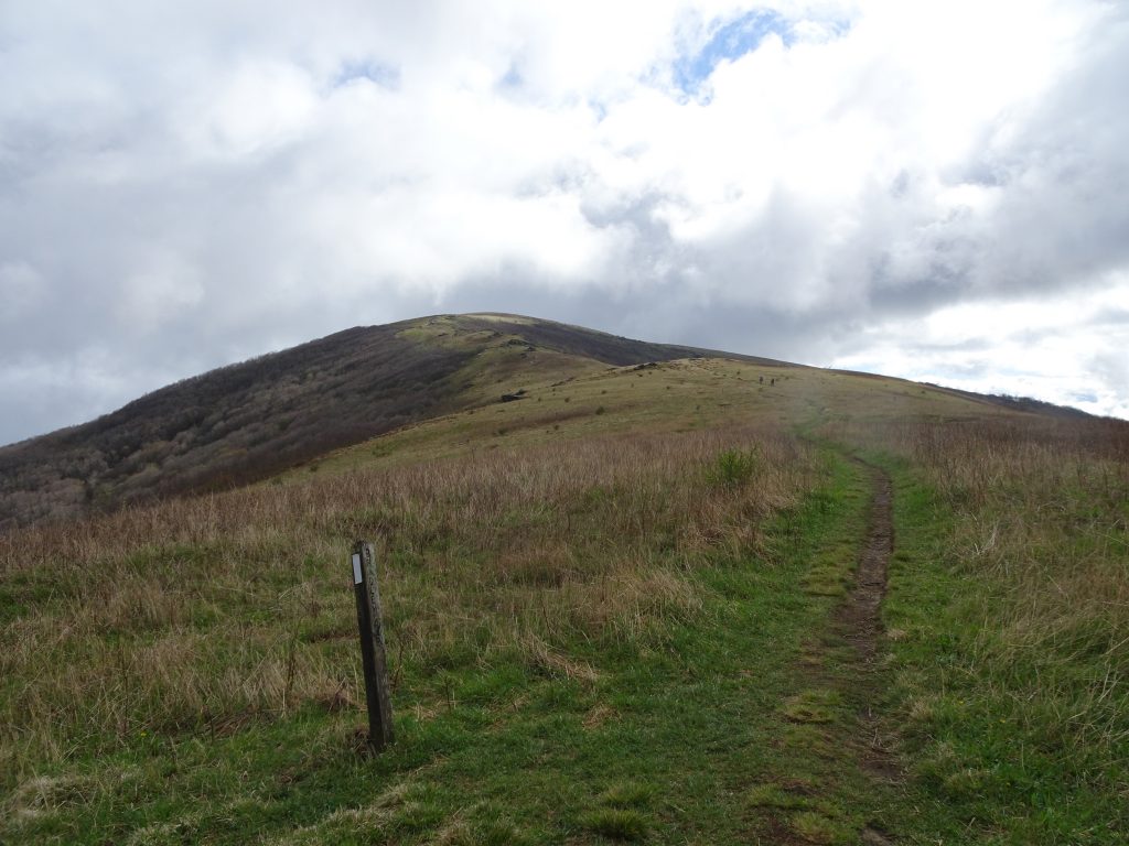
After Roan Mountain, the trail takes a series of ups and downs over a line of grassy “balds” including Round Bald, Jane Bald, Little Hump Mountain, and Hump Mountain, all in the 5500 – 5800 foot range.  The balds have great 360 degree views – when the weather cooperates.

Heading up Hump Mountain

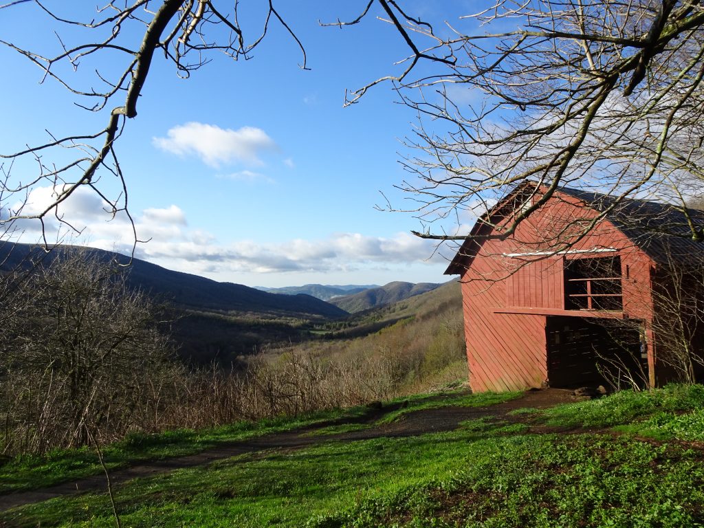
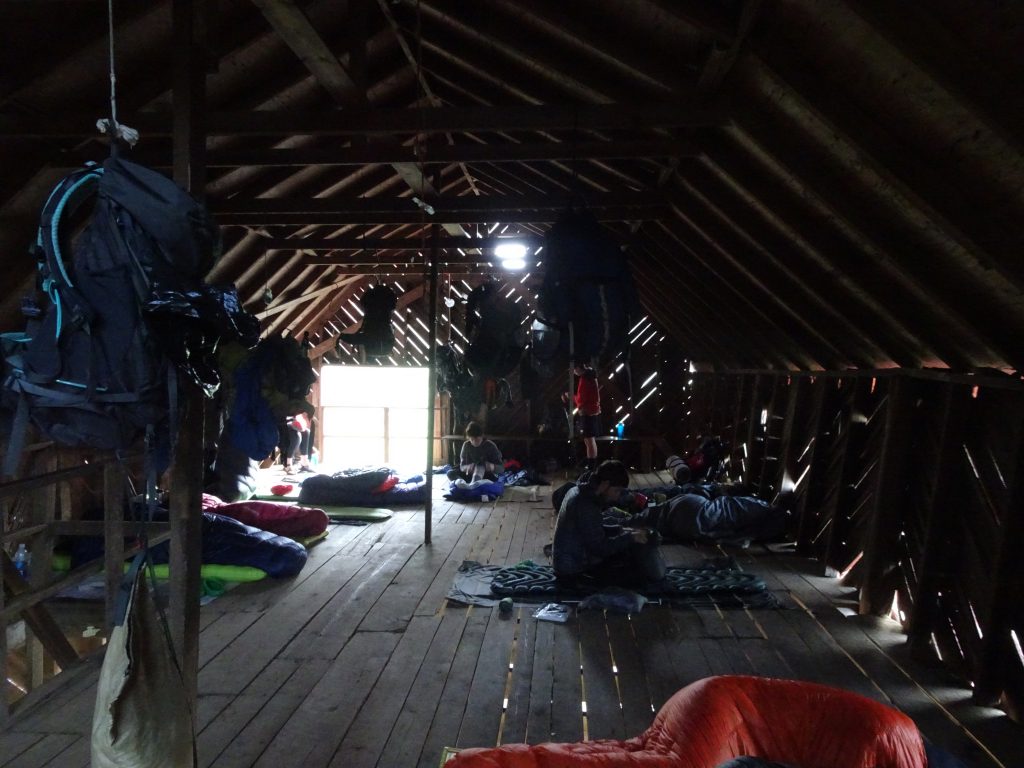
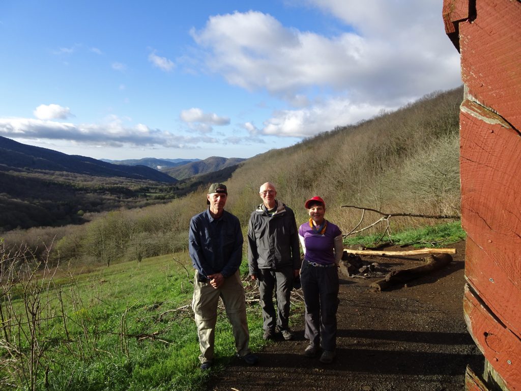
In the highlands, I stayed at a shelter called the Overmountain Shelter.  This shelter is a converted barn.  It is one of the most popular shelters on the AT due to its spaciousness and fine views.

Overmountain Shelter

I was fortunate to be sleeping indoors since a thunderstorm rolled through during the night. When the rain hit, the residents soon discovered that although the roof was good, the walls were porous. There was a mad scramble where everyone scooted away from the walls toward the center of the barn.

Time to rise and shine

As chance would have it, I rolled out my sleeping bag right next to two other hikers from Northern KY.  Jerry (from Covington) and Amy (from Independence) are in the process of hiking a 120-mile section of the AT from Erwin, TN to Damascus, VA.  Small world.

Northern KY Neighbors on the Trail

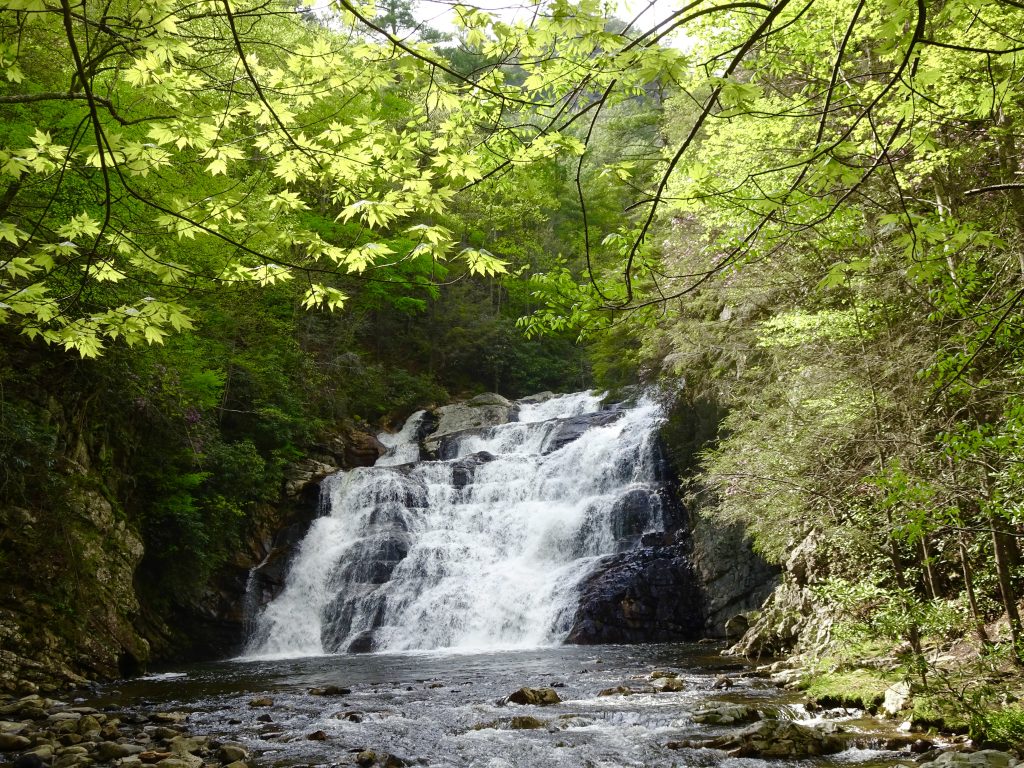
After leaving the highlands, I hiked through the Laurel Fork Gorge.  This was a really pretty section and I passed many local day hikers. I was surprised to see that the azaleas and rhododendrons were already blooming there – a sign of things to come.

Laurel Fork Falls

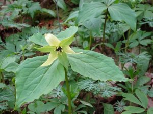
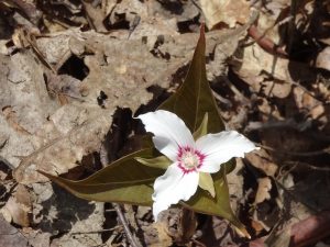
I have been photographing many wildflowers along the trail.  Some of my favorites are the Trilliums which come in many varieties.

White Trillium

Vasey’s Trillium

Yellow Trillium

Painted Trillium

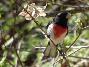
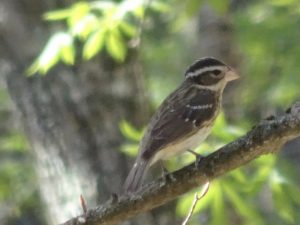
My latest birding success was to photograph the Rose-breasted Grosbeak.  When I looked up this pair online, I was surprised to find that they were the same species.

Rose-breasted Grosbeak (Male)

Rose-breasted Grosbeak (Female)

On the Lepidoptera front…

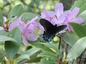
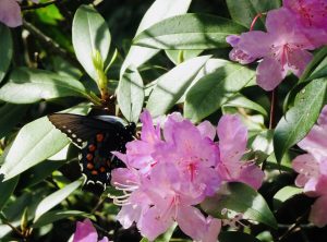
Pipeline Swallowtail

Pipeline Swallowtail

Hot Springs, NC

Nancy and I spent the weekend together in a small hiker town called Hot Springs.  Hot Springs has a long history having been a resort town since the early 1800’s.  The town got its name from its natural springs which bubble water at about 100 degrees Fahrenheit. (Originally the town was called “Warm Springs” until they decided to switch to a catchier name.)  During World War One, the federal government had leased one of the hotels and converted it into an internment camp for German merchant sailors.  The Germans reportedly were treated well, and some of them stayed in the area after the war.

Nancy had booked a small cottage at the last minute. She said not to expect much, but the place turned out to be pretty nice, especially for a weary hiker. It had a balcony and a back yard facing the river.

Nancy and I toured the entire town which took every bit of an hour.  We ate at two of the town’s three restaurants, did my laundry, resupplied at the Dollar General, and basically bummed around.  Alas, we did not actually see the springs, which appear to be located on the premises of some private resort property.  All in all, we had a great time, the only downside being that the time was too short.

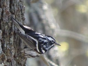
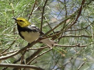
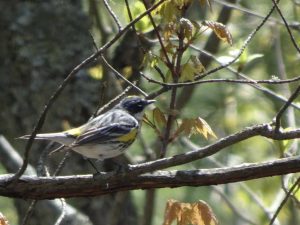
The weather has been great since leaving the Smokies.  It has been sunny and warm for about the last eight days.  With the sunny days, the birding has been great.  I have been impressed with the variety and abundance of the birds.  So far, I have managed to photograph four different kind of warblers.  This was no small feat since these birds are pretty shy, and don’t sit still for long.

Pine Warbler

Black-and-white warbler

Black-throated Green Warbler

Yellow-rumped Warbler

The trails seem relatively empty since Hot Springs.  I often hike for many hours without seeing another person.  A shuttle driver told me that some people had got bummed out by the bad weather in the Smokies and had gotten off trail either temporarily or for good.  After talking to some other folks on the trail, I realized that the hikers in front of me had a worse time of it with the weather.  One woman told me that she caught a ride from Clingman’s Dome into Gatlinburg, then was stuck there for two days because the road was closed due to snow.  Another told me that she and a group of hikers spent a day and a half “camped” in the bathrooms at Newfound Gap.  They could not go into town because of the road closure and could not hike because of the weather.

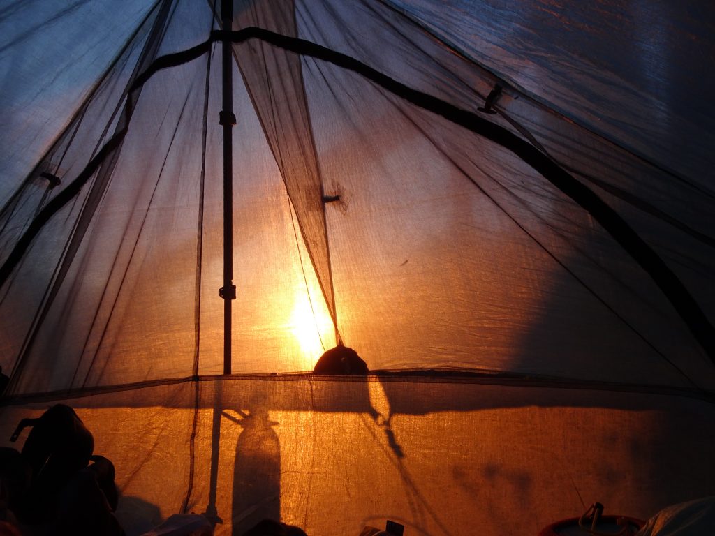
My favorite mountain so far has been Big Bald.  The mountain has a grassy top with 360 degree views.  I had hoped to camp at the top and view the sunrise, but the timing didn’t work out.  I ran out daylight (and energy) the day before and ended up camping at the base of the climb.

Sunrise from my tent

Coffee time on Big Bald Mountain

Some more flora and fauna from the trail…

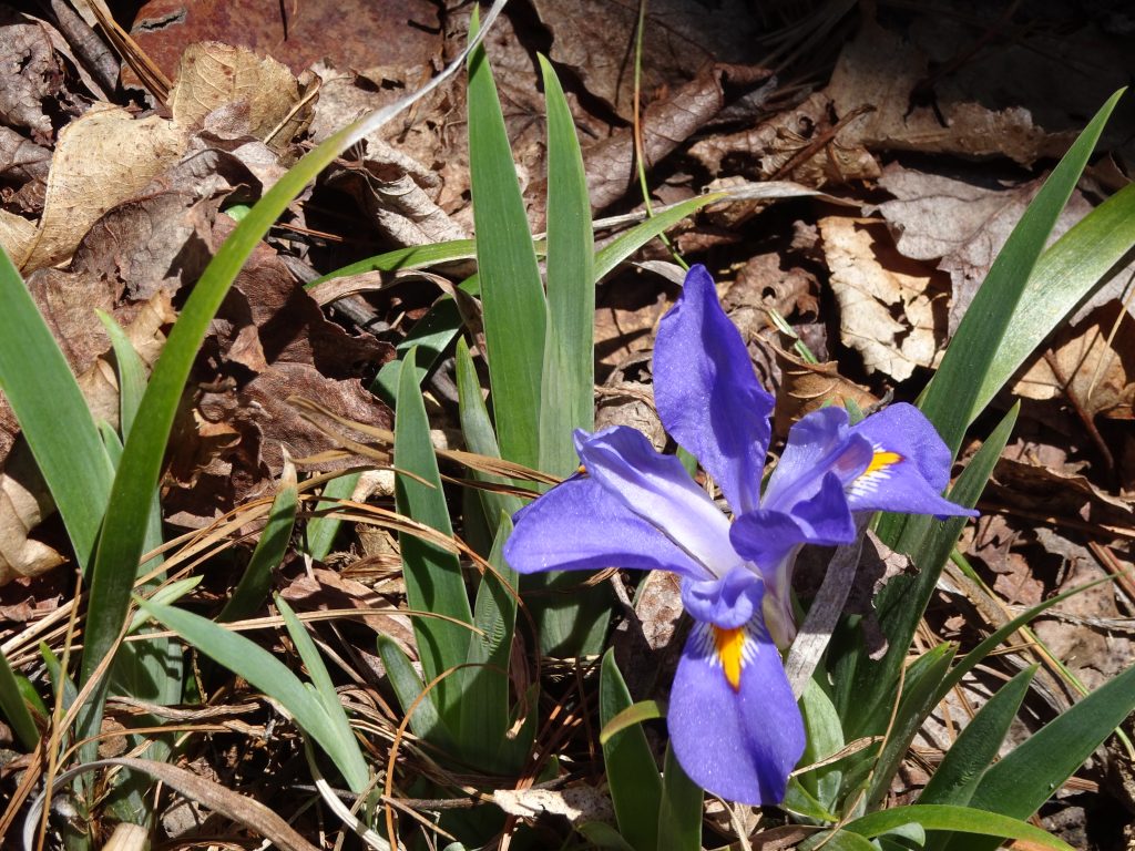
Crested Dwarf Iris

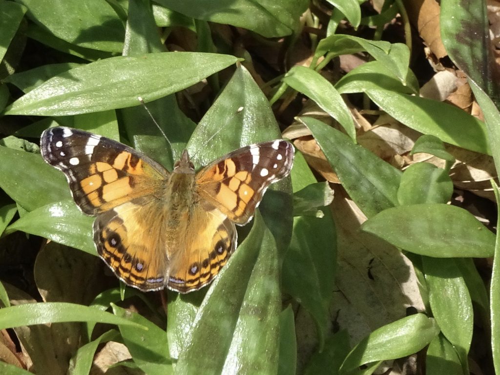
Painted Lady Butterfly

« Older posts Newer posts »

© 2024 My Thru Hike

Theme by Anders NorenUp ↑