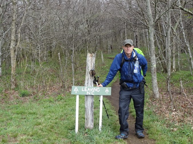
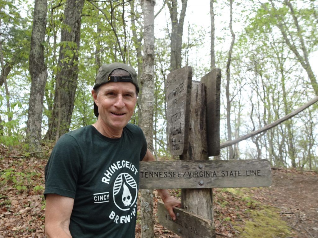
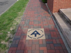
I have now entered the state of Virginia and left Tennessee for good. The AT now travels 554 miles through Virginia which is more than one quarter of the entire length of the trail.
Some of the other thru hikers have forewarned me about the “Virginia blues”. Supposedly, many people quit the trail during this section. I did some Googling to see what this was about and found these common grievances.
- The honeymoon period is over. The newness of the trail has worn off.
- The scenery is repetitive and monotonous.
- Hiking “cliques” have split up due to people hiking slower, faster, or having gotten off the trail.
- Virginia is not flat, contrary to some preconceived notion.
Don’t expect any of these complaints from me. I am on a six-month vacation, after all.
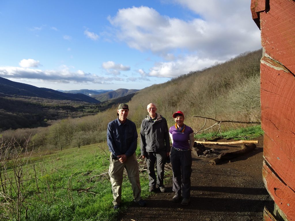
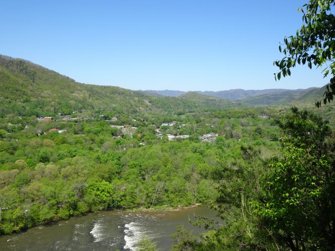
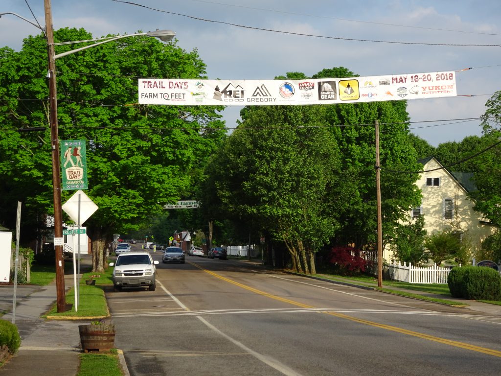
A few miles after crossing into Virginia, I entered the town of Damascus which is unquestionably the most iconic trail town on the AT. The trail takes you right down East Laurel Avenue, the main drag. I stayed the night at “The Place”, a hostel affiliated with the Methodist Church. It was a $7 donation for a bunk and shower. What a bargain!
Damascus, VA
Following the AT through town
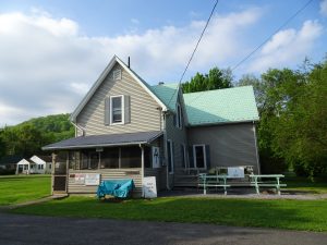
“The Place” Hostel
The rules of the hostel are no smoking, no alcohol, and no profanity, which suited me just fine. During my stay, the caretaker actually turned away a couple of “hiker bums”, which I was happy to see. I was returning from dinner when I found the caretaker arguing with them. The one hiker was cursing loudly with slurred speech, so I figured he was violating at least two of the three house rules. The caretaker finally said, “Get off the property or I am calling the police!”, and off they went into the night.
Next weekend, Damascus is hosting their 32nd annual Appalachian Trail Days Festival. This is the biggest event of the year on the trail. There are eight pages of activities in their brochure including a lineup of nine bands. At the festival, all kinds of debauchery takes place, but also many wholesome activities like gear vendor exhibits, a bird watching walk, and lectures by noteable outdoorsman. The feature event is the hiker parade where current and former AT hikers line up by year and march through the town.
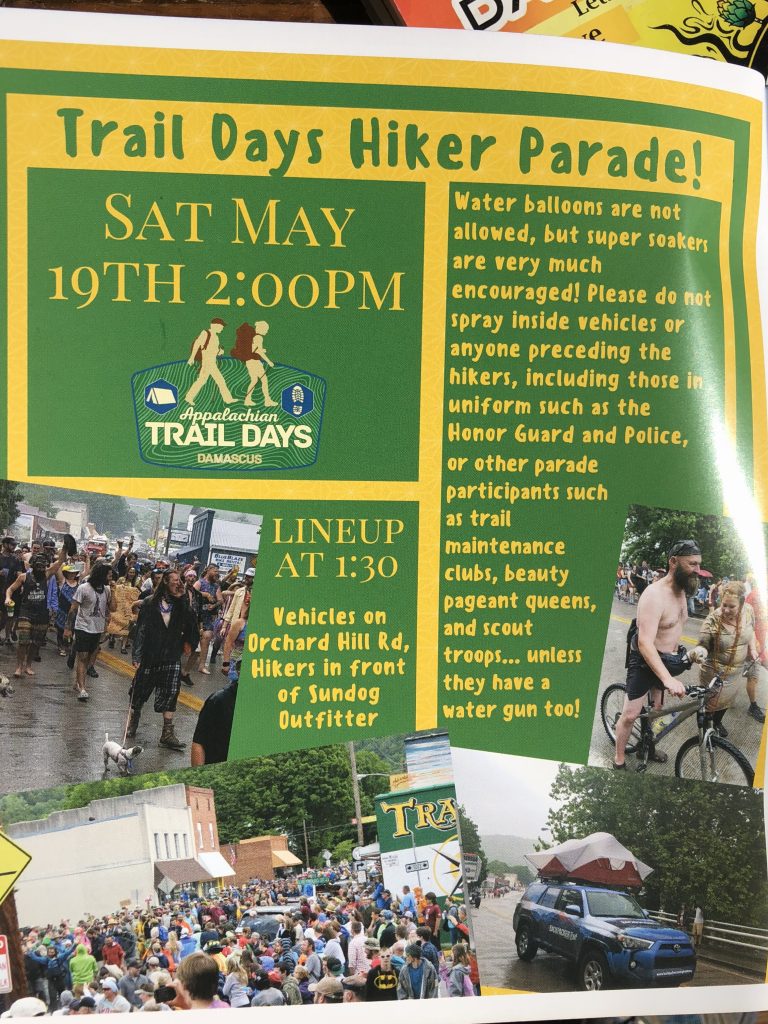
Even though I will be 70 miles north of Damascus by then, I am hoping to attend. I have heard that there are shuttles at all the trail crossings for many miles north and south of the town. Supposedly, the folks on trail descend on the town for the weekend, then head back to where they left off. We’ll see.
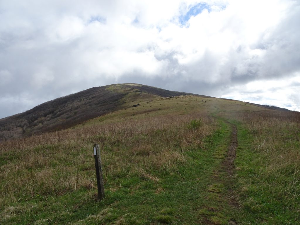
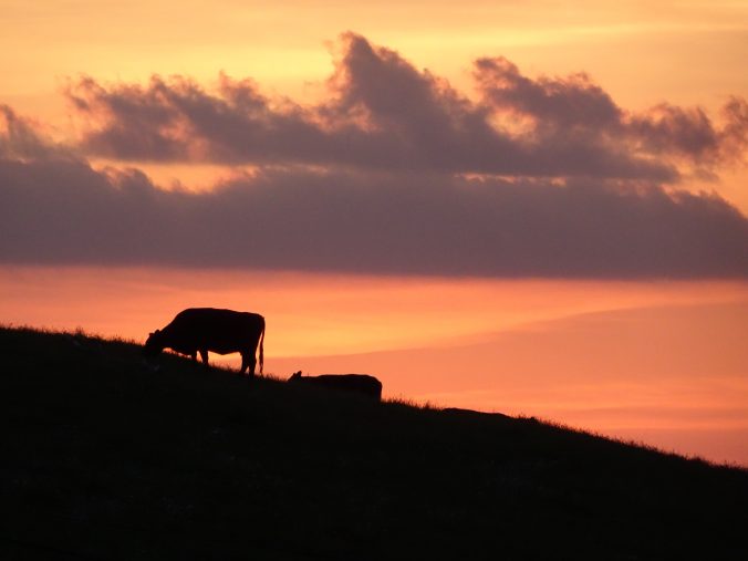
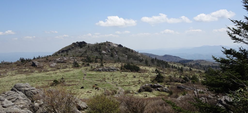
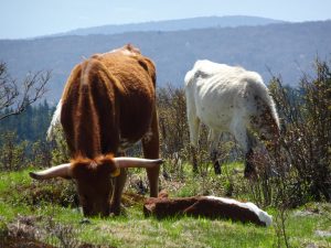
Not far north of Damascus, the trail passes through the Grayson Highlands. The highlands are a series of grassy meadows at about 5000 feet elevation which are home to “wild” ponies and other livestock.
Longhorns on the Grayson Highlands
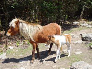
The ponies are wild in the sense that they live off the native vegetation, but are very tame. In fact, it only takes about five minutes for them to go from “cute” to being a nuisance. They immediately try to lick the sweat off your arms and legs. If you don’t keep an eye on you trekking poles, they drag them away and lick the handles and straps. The ponies definitely know where the salt is.
Ponies on the trail
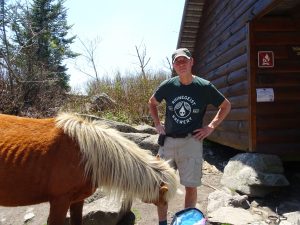
Randy the human salt lick
The pony herd is managed by the Wilbur Ridge Pony Association which rounds them up every fall for a health check.
It is a little intimidating at first to walk through the fields of livestock, but you figure out pretty quickly that they pay you little notice.
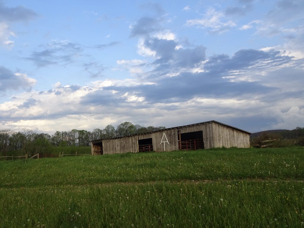
Livestock shed
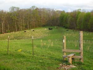
Trail through the pasture
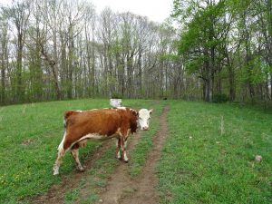
Hey cow! Out of my way!
Living the good life
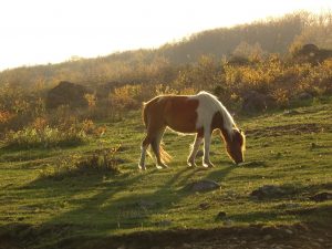
Grazing at sunrise
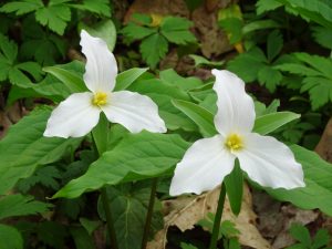
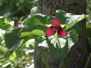
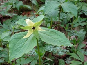
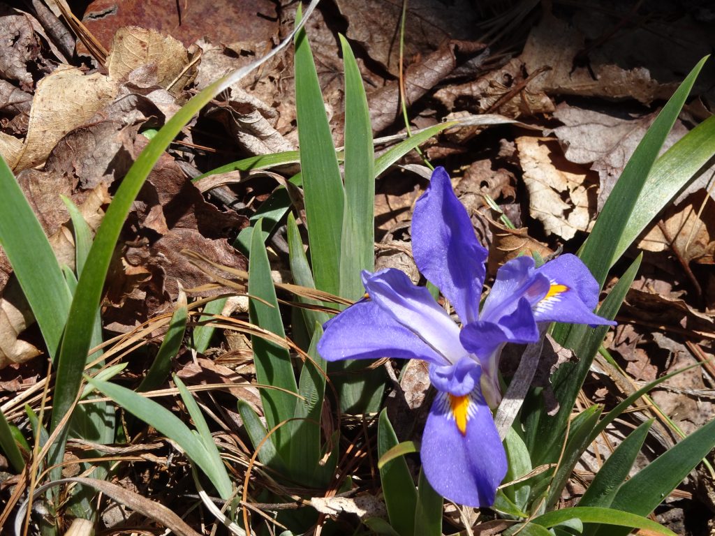
I talked to a couple of section hikers from Williamsburg who said this is the perfect time for wildflowers in Virginia. So far, I would agree.
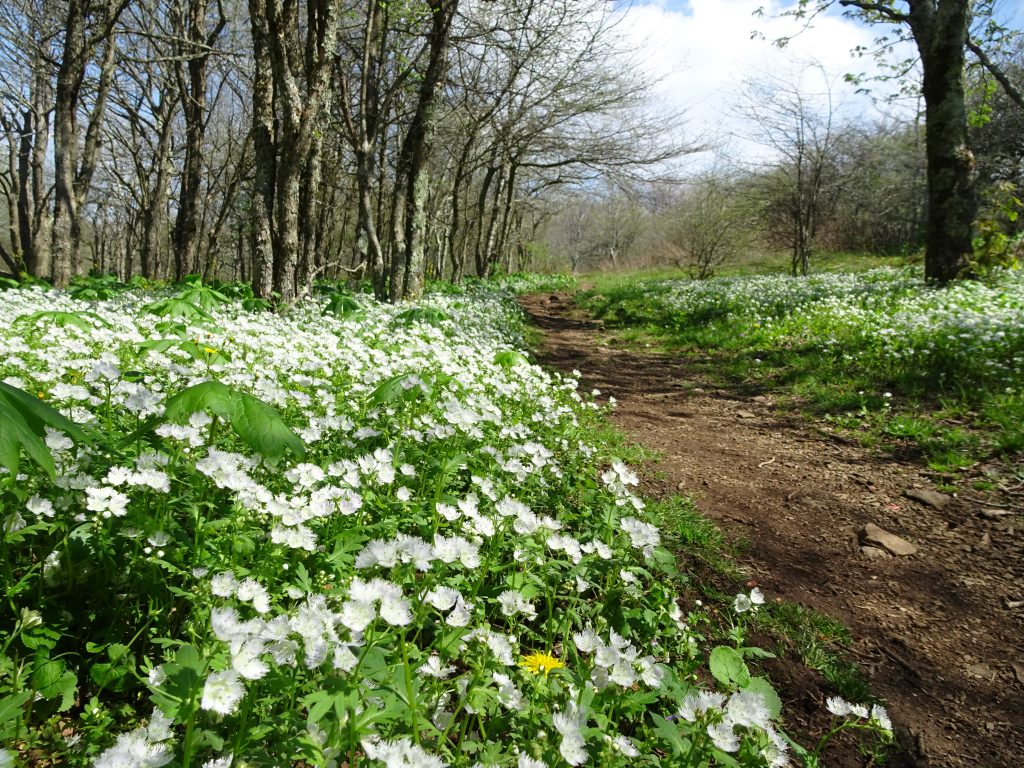
Virginia wildflowers
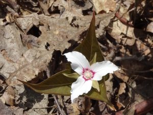
I have been enjoying the many varieties of Violets I see along the trail. I thought to try to classify them, but after looking on the web, I realize I am not a worthy enough botanist to do so. There are just too many kinds. Here are some that I have seen, with my own captions, not the botanically-correct names.
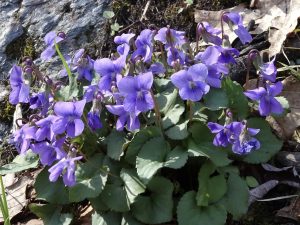
Purple Violets
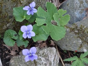
Lavender Violets
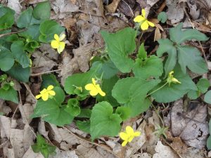
Yellow Violets
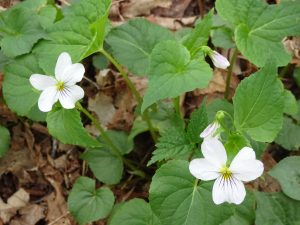
White Violets
The petals have amazing detail if you look closely.
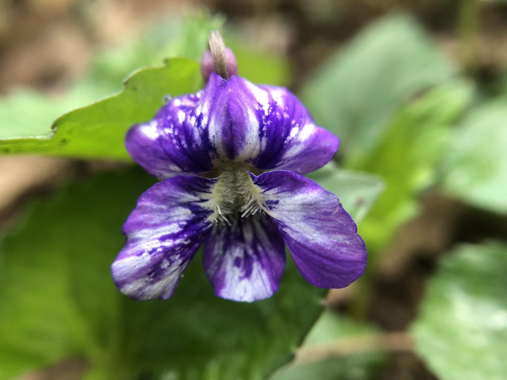
Variegated
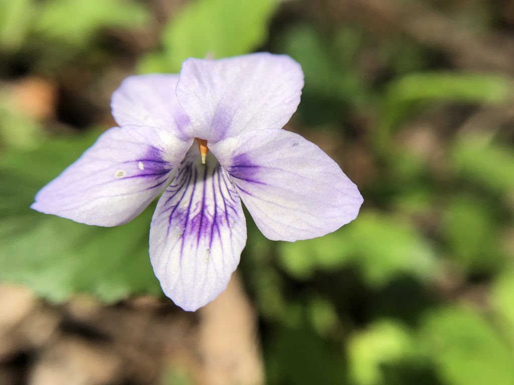
White with purple stripes
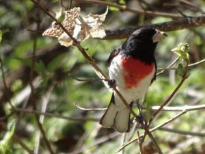
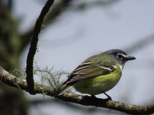
I had one big success with my birding. I had been seeing this bird (which is easy to spot in the woods) for about a week before I finally found one to sit still for a photo. The striking scarlet color is for real. No photoshop needed.
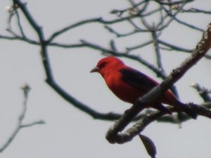
Scarlet Tanager
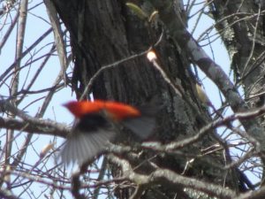
Scarlet Tanager taking flight
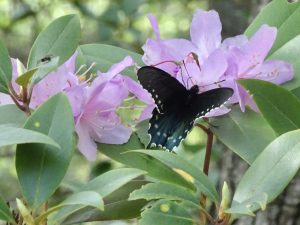
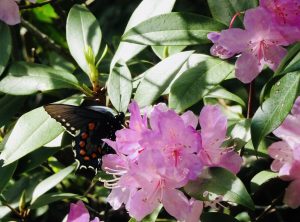
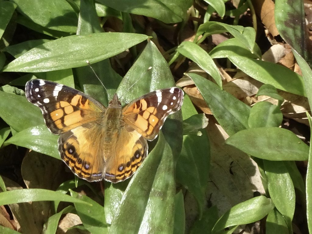
On the Lepidoptera front…
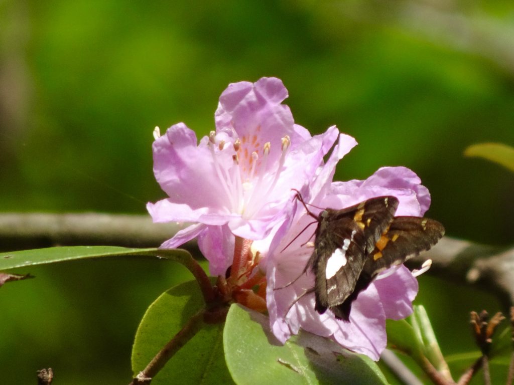
Silver-spotted Skipper
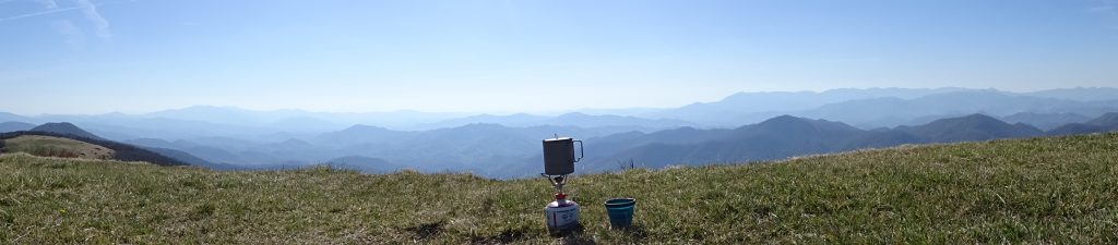
Someone asked how I go about fitting all my gear into my pack. Here’s a video if you are interested.
One final sighting on the trail. This person is a day-hiker from Covington, KY, of all places. He said I was about the twentieth person to ask to take his picture. I cannot imagine why…
Trail oddity
If you’d like to receive an email when a new post is up on the blog, click the email icon on the bottom of the page to subscribe. Thanks for following!