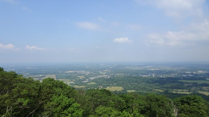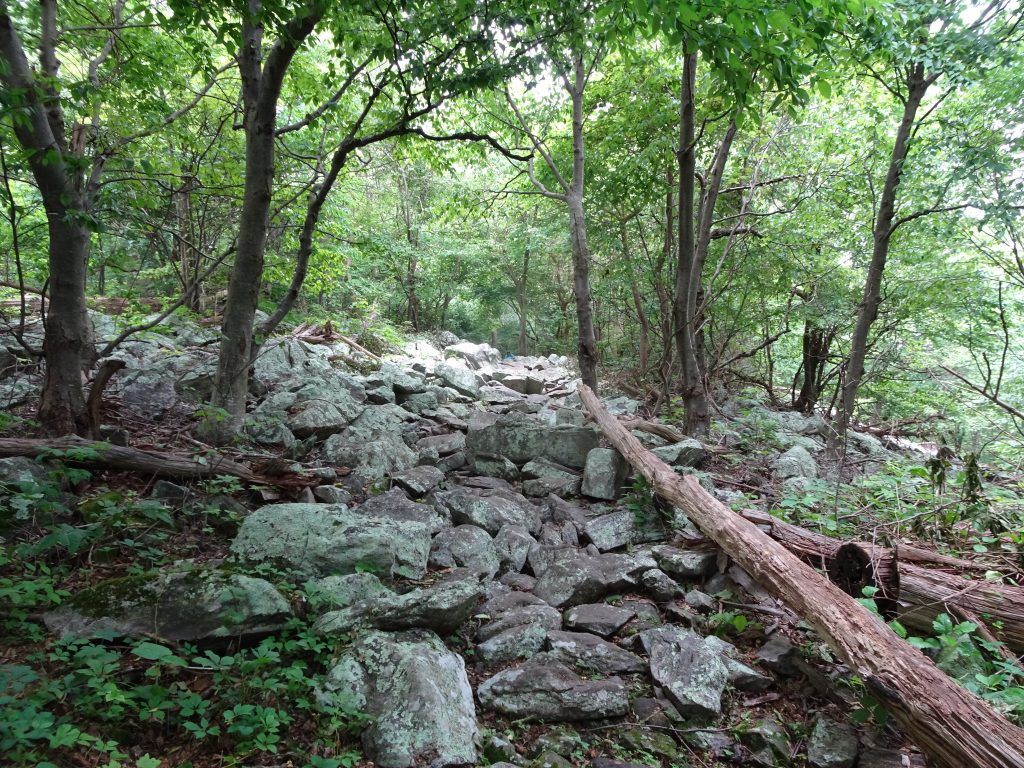
I have so far completed well over half of the 230 miles of the Pennsylvania AT. The trail here is relatively flat as it follows the ridge lines north. Even without the climbs, the hiking can be slow going, as parts of the trail have been quite rocky. I have been told that only when I get further north will I reach the legendary rocks of PA, for which hikers have nicknamed the state ”Rocksylvania”.

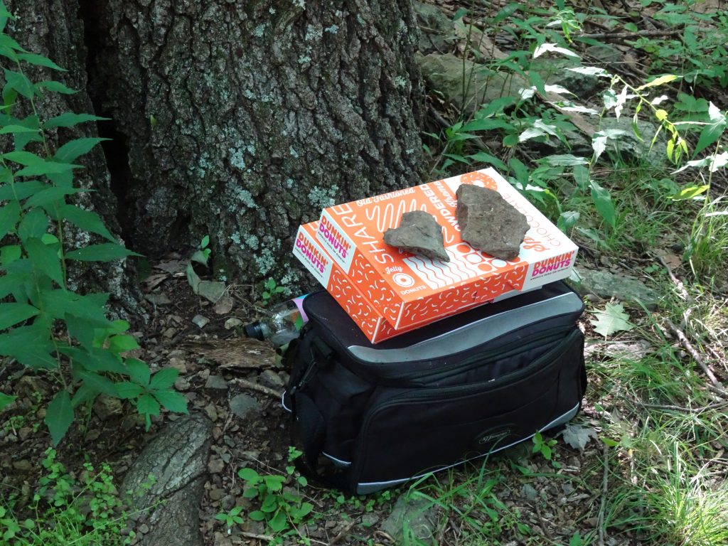
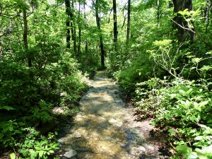
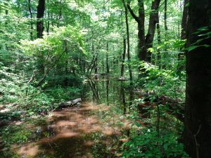
Trail section nicknamed “The Maze”

Navigating the maze
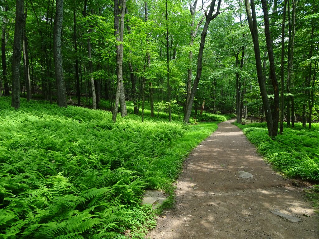
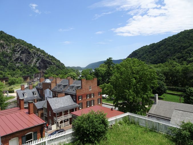
Since Harpers Ferry, the countryside has gotten more populated. The trail has passed through a number of towns as well as several state parks. I expect this will be the norm at least until Vermont. Having more towns and parks means carrying less food, more flush toilets, and better cell coverage. This is a welcome change from the southern states where I could hike 100 miles without passing a parking lot with a trash can, let alone a toilet.
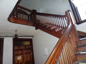
In Pine Grove Furnace State Park, the trail passes by the Appalachian Trail Museum.
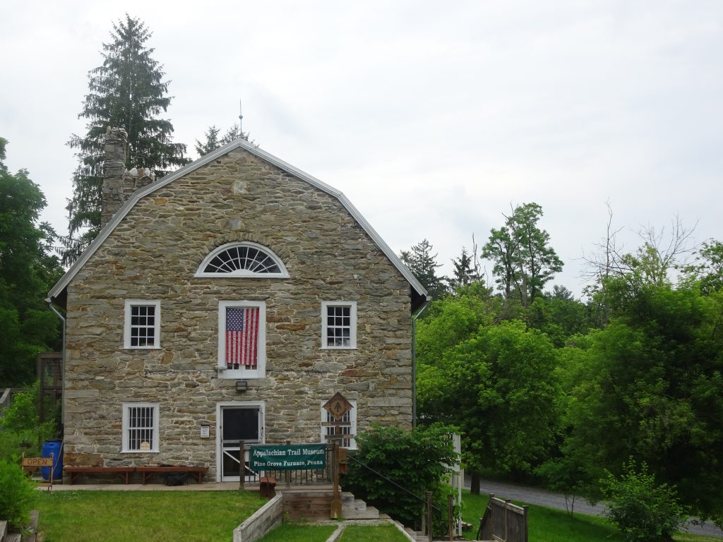
Appalachian Trail Museum
My favorite exhibit was the Grandma Gatewood display. At the age of 67, Gatewood told her children that she was “going for a walk“ and proceeded to become the first woman to hike the AT. Ahead of her time as an ultralight backpacker, she never carried more than 20 pounds in her homemade canvas sack. Her shelter was a shower curtain. She wore canvas sneakers.
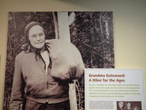
The Legend
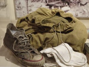
Grandma’s gear
Gatewood gained some celebrity status, with an article in Sports Illustrated and a guest appearance on the Today Show. Talking about the trail, she was quoted as saying, “For some fool reason, they always lead you right up over the biggest rock to the top of the biggest mountain they can find.” Grandma, I could not agree more.
In the same state park is the Pine Grove Furnace General Store which is the home of the “Half Gallon Challenge”. Hikers that can consume an entire half gallon of ice cream are awarded a wooden ice cream spoon stamped with some congratulatory phrase. I skipped the challenge, having been forewarned by a veteran thru hiker that the difficult part is not eating the ice cream, but the suffering that follows. As I watched a table of hikers wolfing down their ice cream while trading high-fives and such, I was feeling a little left out.
I later felt better about my choice when one of the “challengers” approached me near the restrooms (of all places). She said to me, “I think you made the right call.” Then, speaking half to herself, said, “I am an adult, for goodness sake. I’m 28 years old. What was I thinking?”
The trail passed directly through the pretty and peaceful town of Boiling Springs. Around the lake, people were sitting on park benches, jogging, walking dogs, or engaging in other similar worthwhile pursuits. I saw no B&Bs or rental properties, so I suspect the residents are keeping the town as their own little secret. You have to love a place that has “duck crossing” signs.
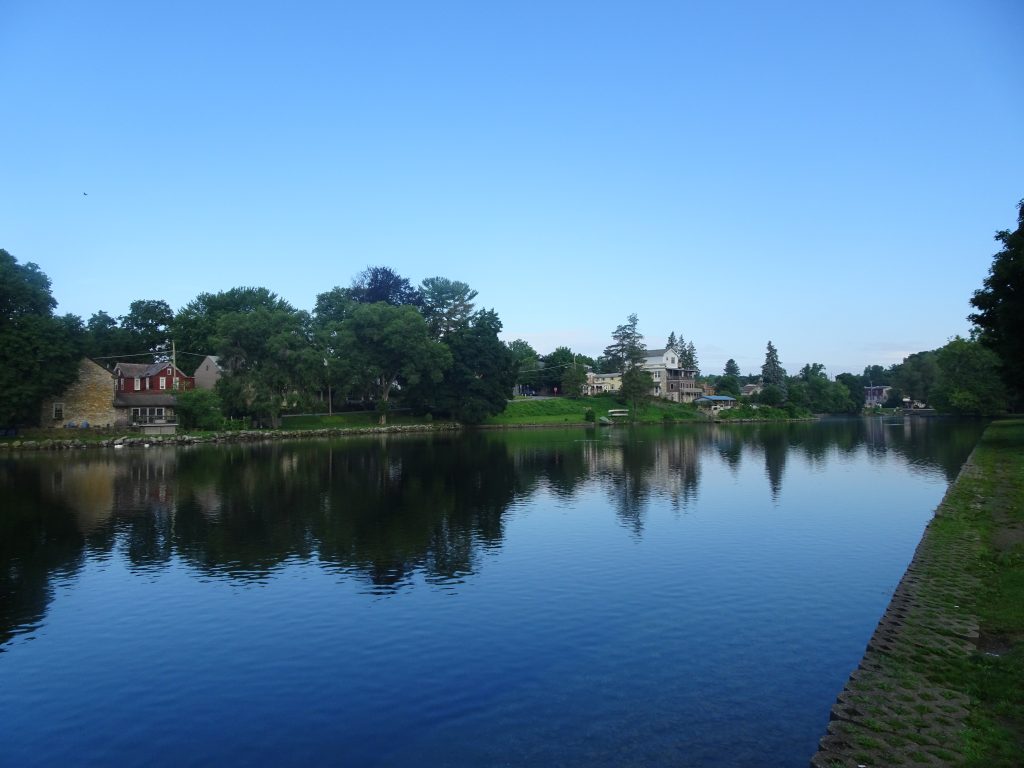
Boiling Springs, Pennsylvania
The town af Carlisle is a ways off the trail but does have a Dunkin Donuts on the edge of town that is 0.7 miles from the trailhead. Having been deprived of my DD for almost three months, I could not resist. Like the guy from the old cigarette ad who would walk a mile for a Camel, I would walk a mile for my Dunkin Donuts.

Enjoying my Dunkin
The AT also goes right through the town of Duncannon which sits along the Susquehanna River. Here is a view of the town from the mountain.
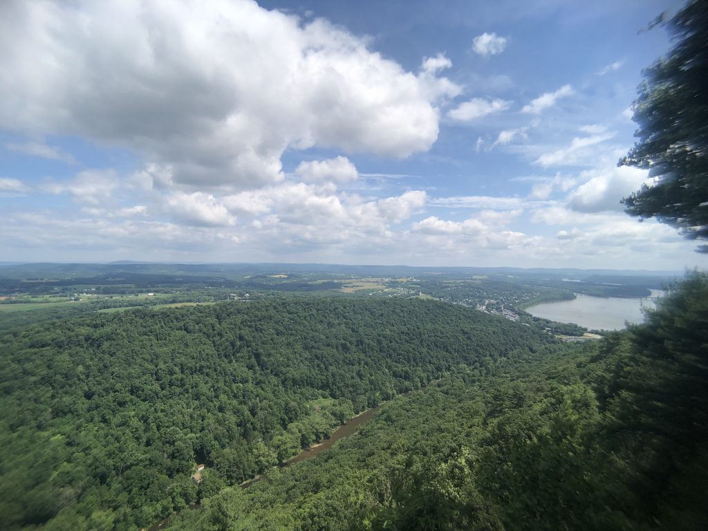
Duncannon, Pennsylvania in the distance
Duncannon is the home of the Doyle Hotel. The hotel was originally constructed in the 1770’s then later rebuilt after it burned down. In its heyday, it was the place to stay. According to legend, Charles Dickens was once a guest. The hotel is now a shadow of its former self, renting rooms to hikers for $25. As it is a tradition for AT thru hikers to stay at “The Doyle”, I decided to give it a go. This turned out to be not a good call. It should have been my first clue when the proprietor dropped the phrase “you get what you pay for” (I swear I’m not making this up.) during my checkin. The place is badly in need of repair. I’ll leave it at that.

The Doyle Hotel
Inside the Doyle
A few days later when I was recounting my Doyle experience, another hiker commented about how great the amenities were at the donation-only Presbyterian Church hostel (only three blocks from the Doyle). She proceeded to pour salt into my wounds by showing me pictures from her phone of the spacious sleeping area, the sparkling bathroom facilities, the stacks of clean towels, and so on and so forth.
This week I got the opportunity to stress test my tent by camping in a hellacious thunder storm. In the middle of the night, I pulled up weather radar because I could not believe it was raining so hard for so long. There I was, right smack in the middle of the red blob. I later found out that this was not an ordinary storm. Two roads were washed out in nearby Pine Grove and some parts of the county reportedly received 6.5 inches of rain in just a few hours.
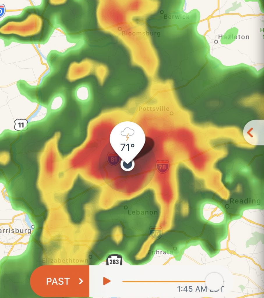
In the center of the storm
My tent passed the test with flying colors. I had only a small puddle which was due to backsplash from the ground through the mesh. The trail itself did not fare so well. The next day, there were puddles and mud everywhere, with about two miles of trail having been turned into a creek.
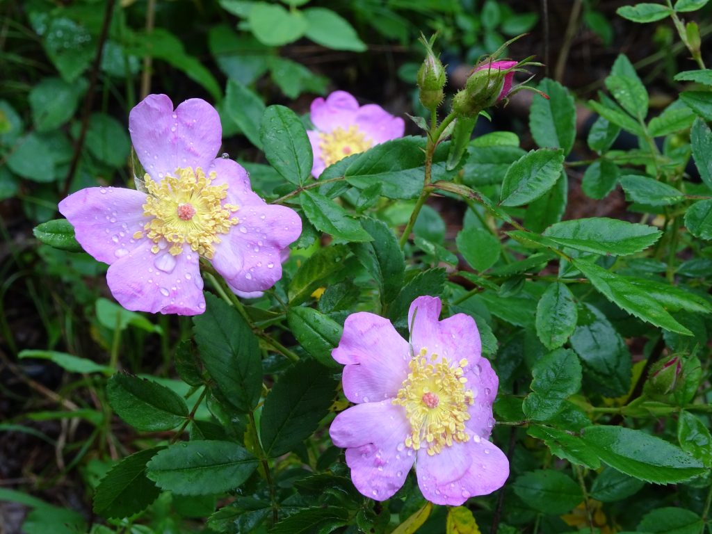
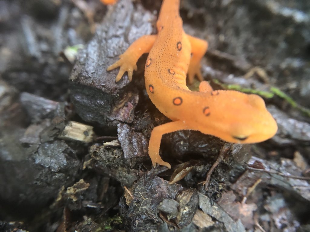
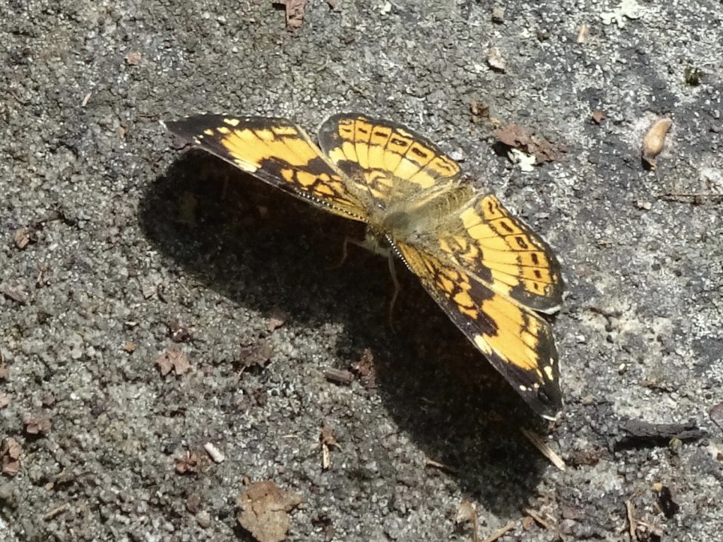
Some flora and fauna…

Butterfly Weed (In the Milkweed family)

Great Blue Heron
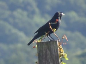
Red-winged Blackbird
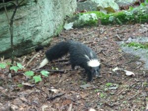
Skunk!
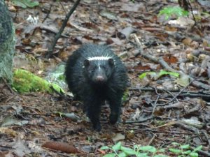
Shrunk coming to get me
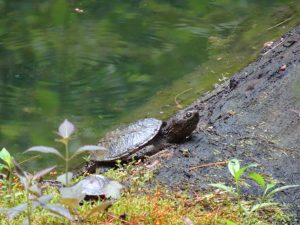
Baby snapper getting some sun
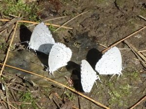
Small Blue Butterfly
If you’d like to receive an email when a new post is up on the blog, click the email icon on the bottom of the page to subscribe. Thanks for following!