Or, There and Back Again

Category: Appalachian Trail (Page 2 of 10)

New Hampshire

Of the 160 miles of the Appalachian Trail that passes through New Hampshire, the main event is the White Mountain Range which comprises 106 miles along the path.  All the way up the trail, I have been hearing, “Wait until you get to the Whites!”  The White Mountains are well known for their breathtaking scenery, but also for their steep, gnarly trails.  They would not disappoint, on either count.

The AT enters New Hampshire where it crosses the Connecticut River into the town Hanover, home of Dartmouth College.  The state line marker is on the bridge at the midpoint of the river.
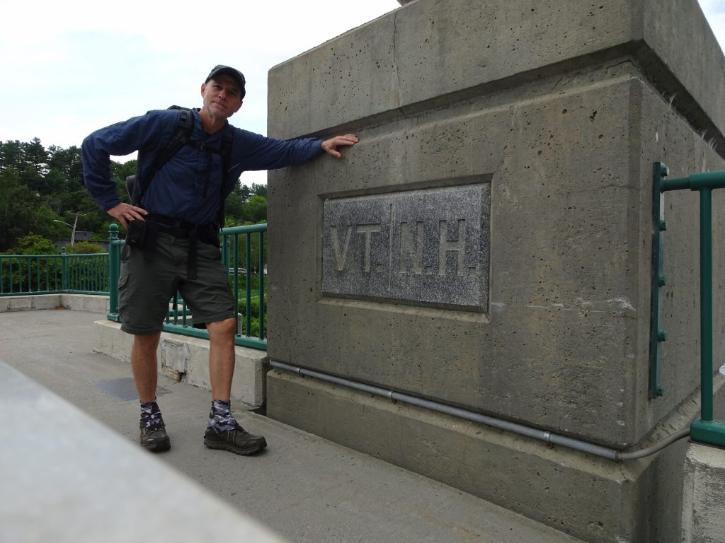
Crossing the Connecticut – New Hampshire border

My visit in Hanover was short, spending just enough time to resupply and eat some town food.  I did stop at Robinson Hall, home of the Dartmouth Outing Club.  The building stays open for hikers to drop their packs, relax, charge phones, connect to WiFi, visit restrooms , etc.
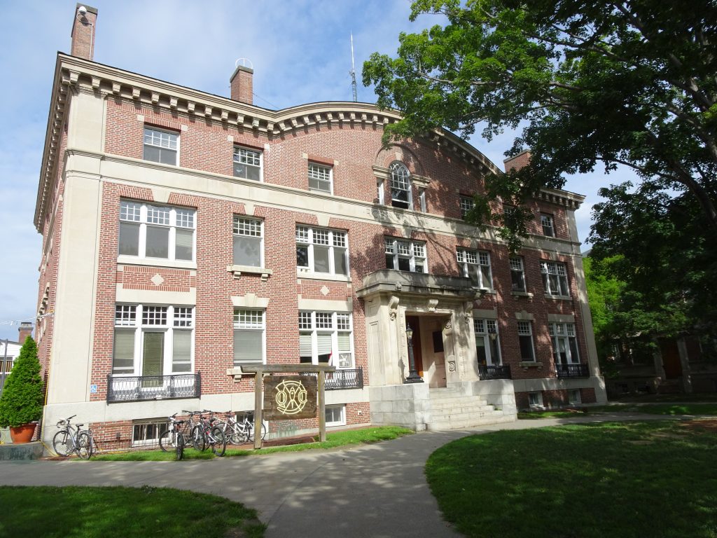
Robinson Hall – Home of the Dartmouth Outing Club

The club, founded in 1909, maintains the AT section from Hanover to the southern Whites.  You can identity the DOC-maintained trail sections by their artful signage.
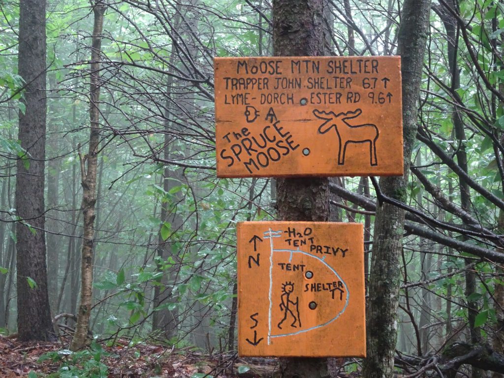
Creative trail signage

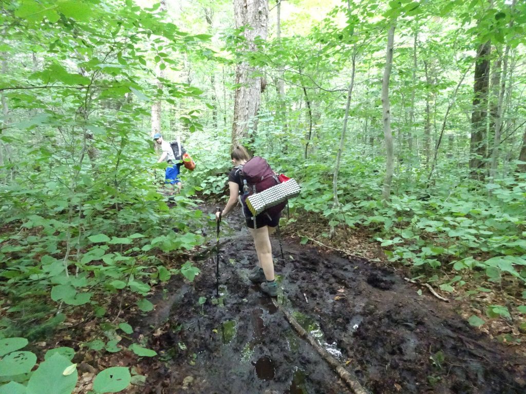
One morning, I had a mishap in one of the nastier bogs.  I stepped on a bridge plank only to discover it was not anchored, but only floating.  Into the swamp my leg went, up to my knee.
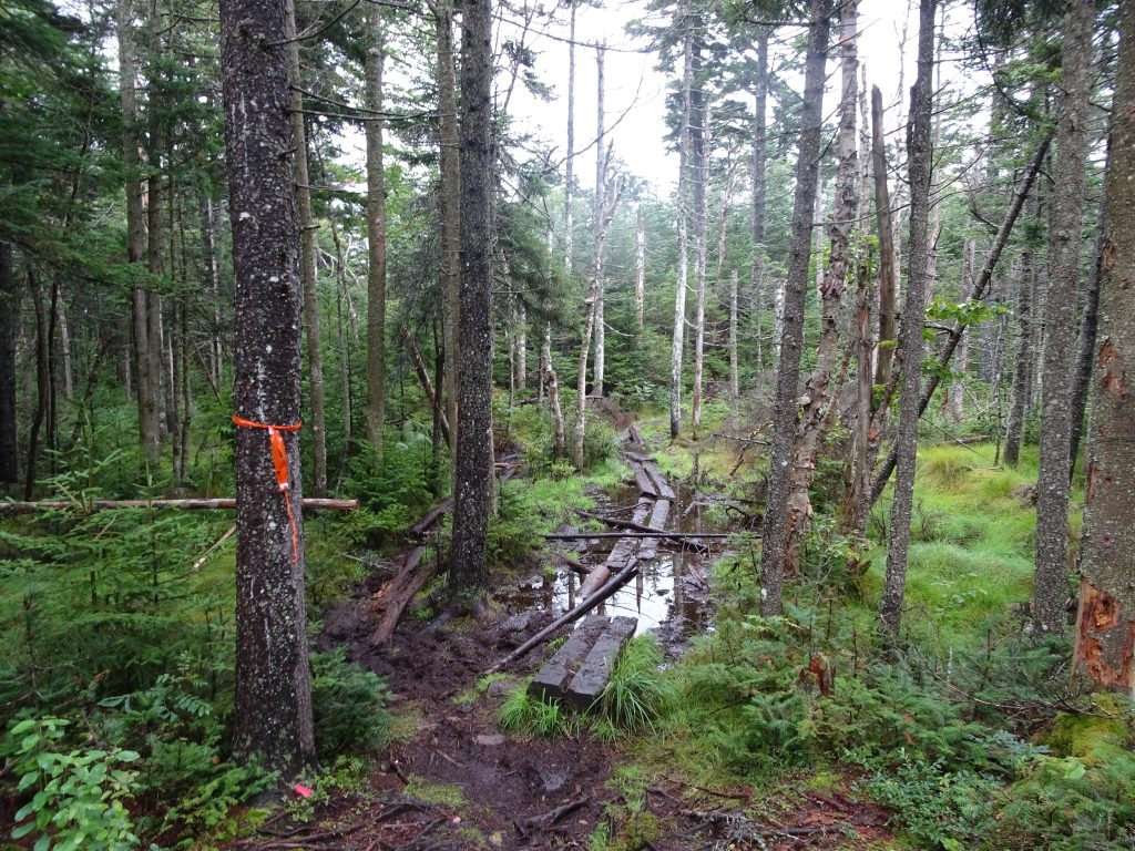
Beware of this bridge!
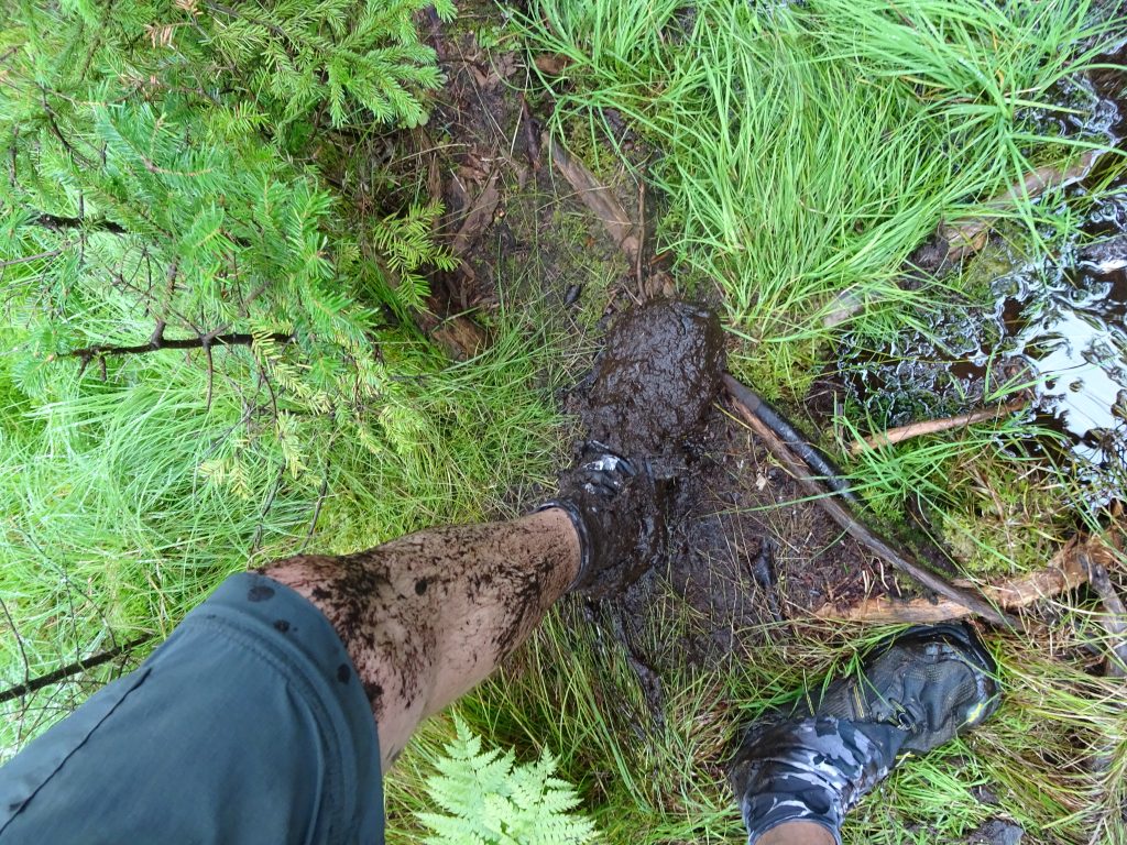
Just a little mud

By coincidence, just a few minutes later, I ran into a caravan of Dartmouth students muling bridge materials up the trail.  When I told them about my my mishap, the worker said, “Oh yeah, that one.”  He said that instead of rebuilding that particular bridge, they would probably just reroute the trail.
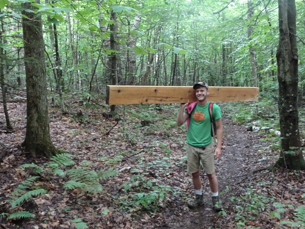
Hauling a plank up the mountain
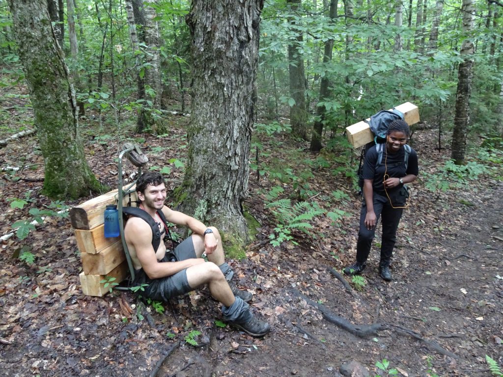
More “mules” hauling bridge materials

After crossing several smaller peaks, my first real “Welcome to the Whites” experience was Mount Moosilauke.   The climb, 3800 vertical feet over six miles, was steep but not too bad.  The trail was mostly small boulders that could be used as stepping stones.
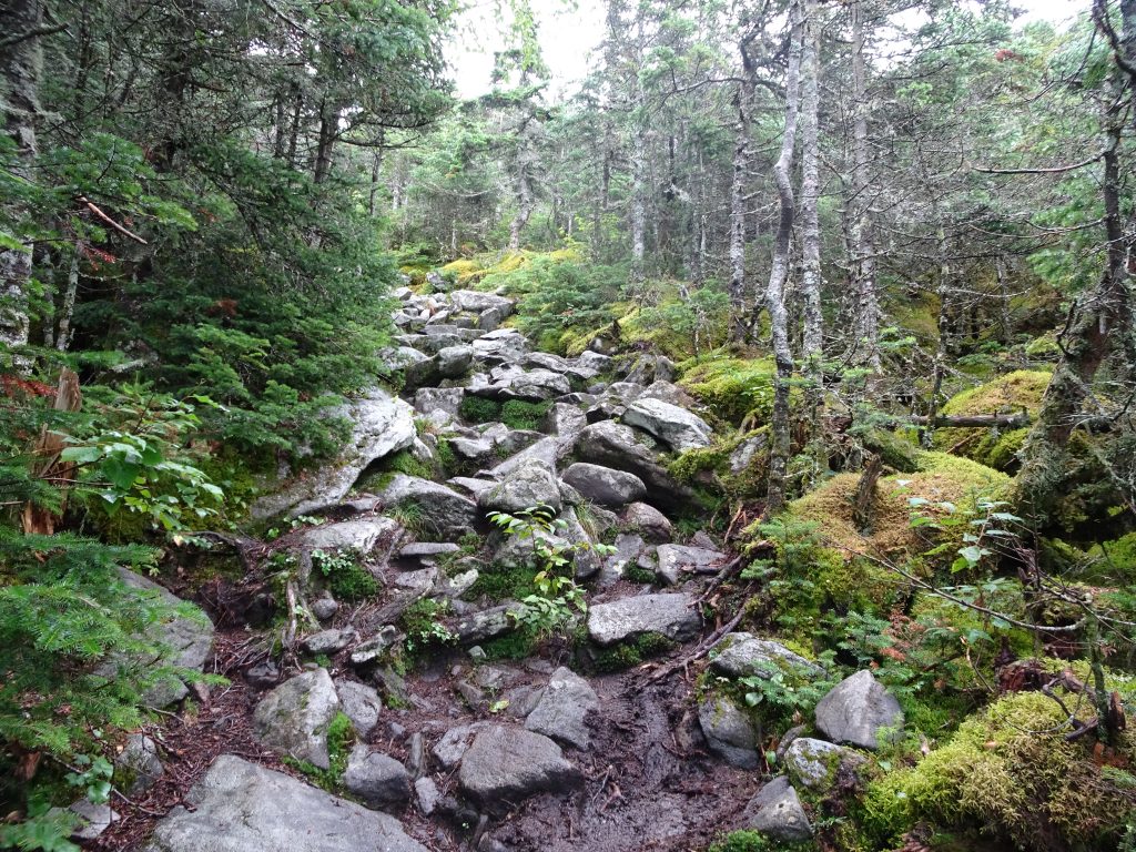
Climb up the south face of Moosilauke
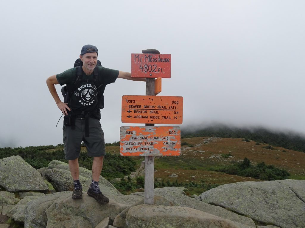
Foggy day on top of Moosilauke

The trip down the mountain was a different story.  About one mile of the descent follows a steep ravine running parallel to a steam, the Beaver Brook.  Here, the trail builders of yore have stacked huge boulders to create a makeshift staircase.  How they positioned these boulders, I have no idea.  The Egyptian pyramid builders had nothing on these guys.
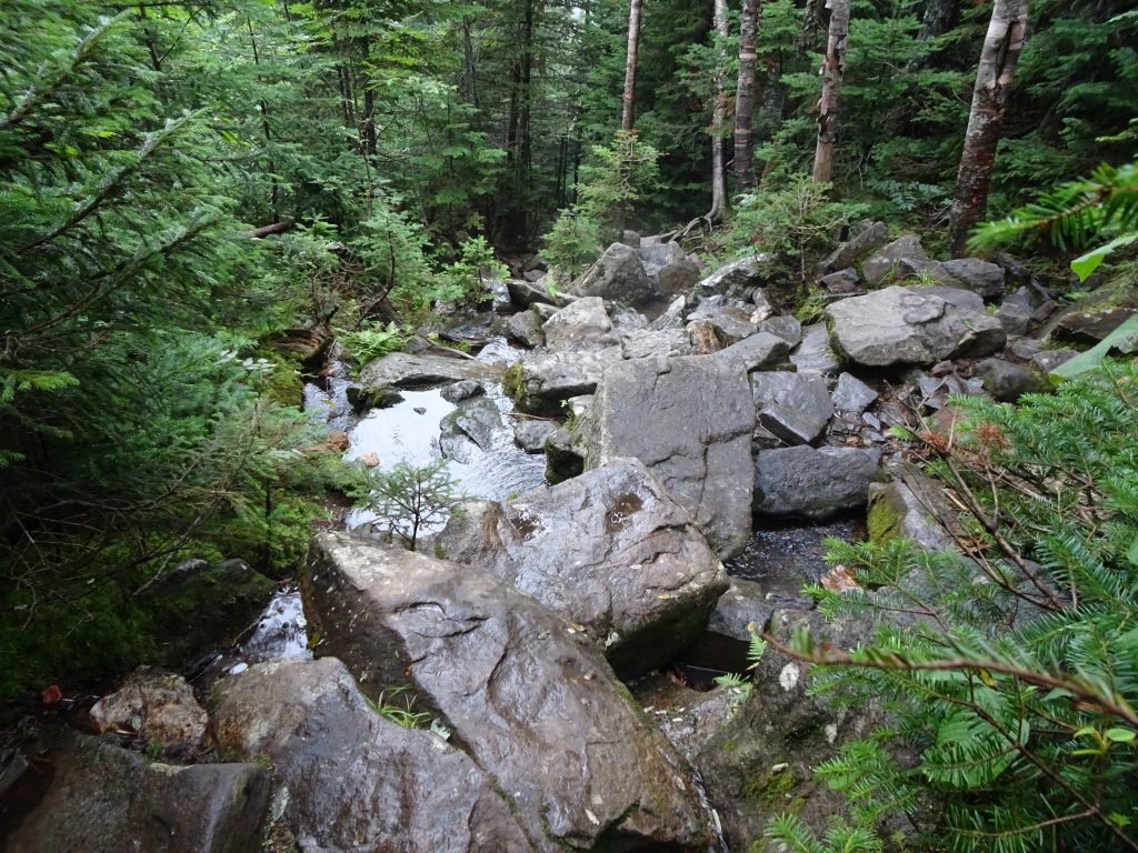
Trail down the north side of Moosilauke
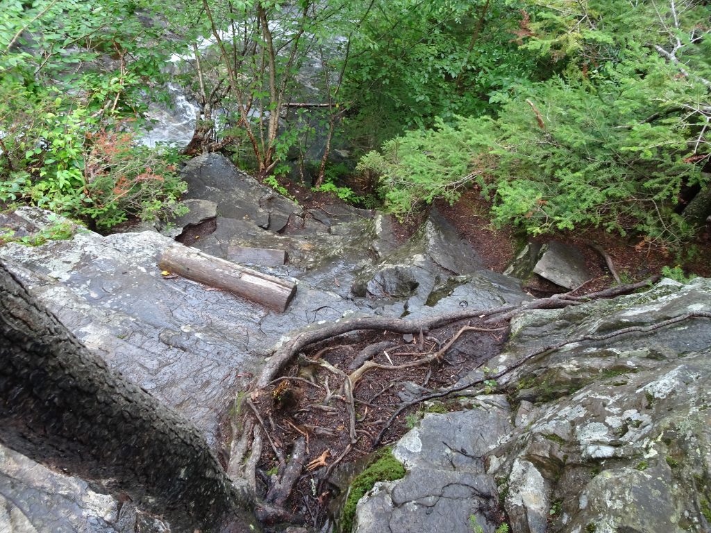
Wood steps on the steep rock faces

I was pretty slow and timid as I made my way down, especially so since the rocks were wet.   It was total concentration.  Losing my balance or making one bad foot placement could end my hike.  Later that evening at the hostel, I learned that I was not alone in my nervousness.  Even the youthful hikers (who tend to be more rambunctious) said they were a little spooked.  Fortunately, I haven’t encountered any trail that sketchy either before or since.

A good deal of the AT in the White Mountains passes through boreal forest, populated mainly by spruce and firs. Cool summers and an abundance of moisture give it a lush green appearance.
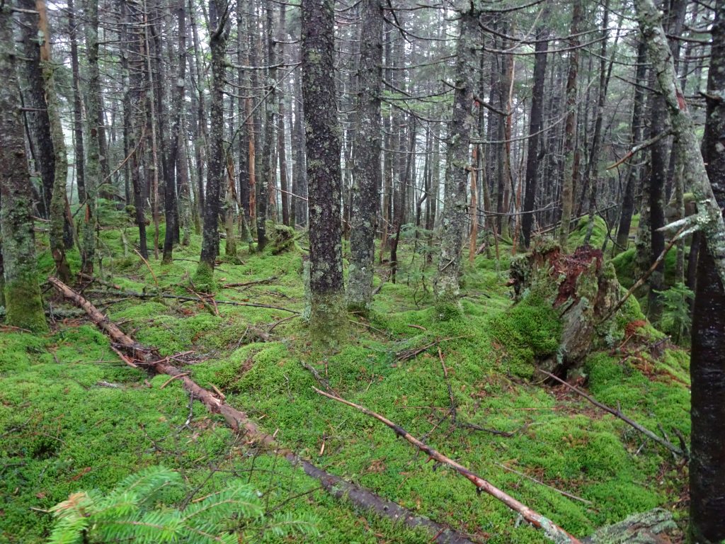
A green carpet in the boreal forest
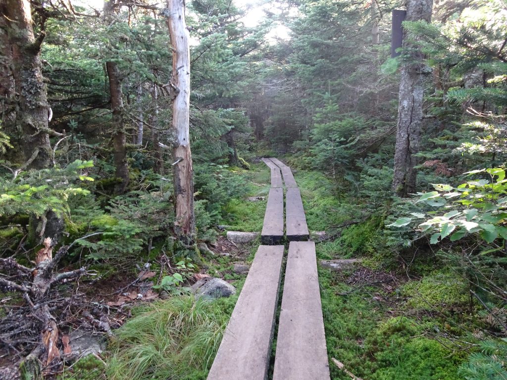
Swamps in the boreal forest

Above the tree line is the alpine zone, populated by low-growing alpine plants.
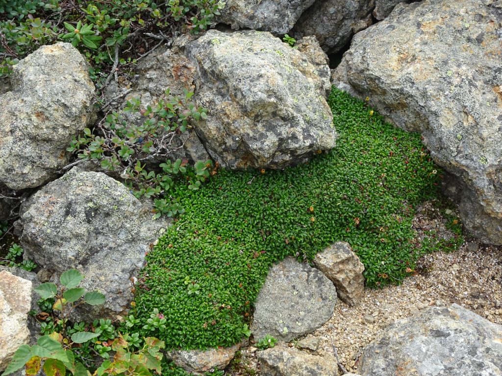
Alpine vegetation – Pincushion Plant and Blueberry

A very popular destination in the Whites is Franconia Ridge.  National Geographic ranked the ridge trail number six in their top 20 list of dream hikes.  The AT traces the rocky portion of the ridge from Little Haystack Mountain over Mount Lincoln and up to Mount Lafayette.  I had a good view of the ridge from Little Haystack.  By the time I reached the top of Mount Lafayette, the clouds had moved in leaving nothing to view besides the fog.
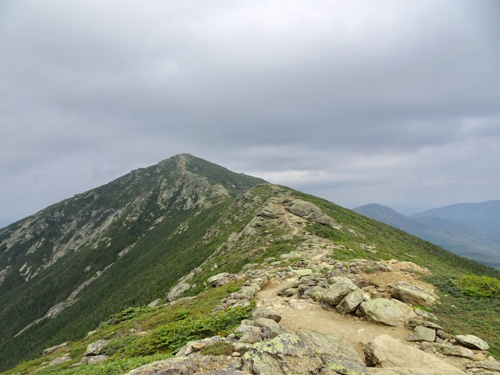
View of Mt Lincoln and Mt Lafayette from Little Haystack

The next day, I had great weather to begin my hike of the Presidential Range of the Whites.  The AT follows the historic Crawford Path which passes over or very near the summits of Mount Pierce, Mount Eisenhower, Mount Franklin, and Mount Monroe before its terminus on Mount Washington.  Laid out in 1819, the Crawford Path is the oldest continuously-used mountain trail in America.
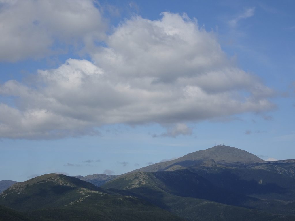
Presidentials: (Left to Right) Mount Pierce, Mount Eisenhower, Mount Franklin, Mount Monroe, and Mount Washington, viewed from Mount Jackson
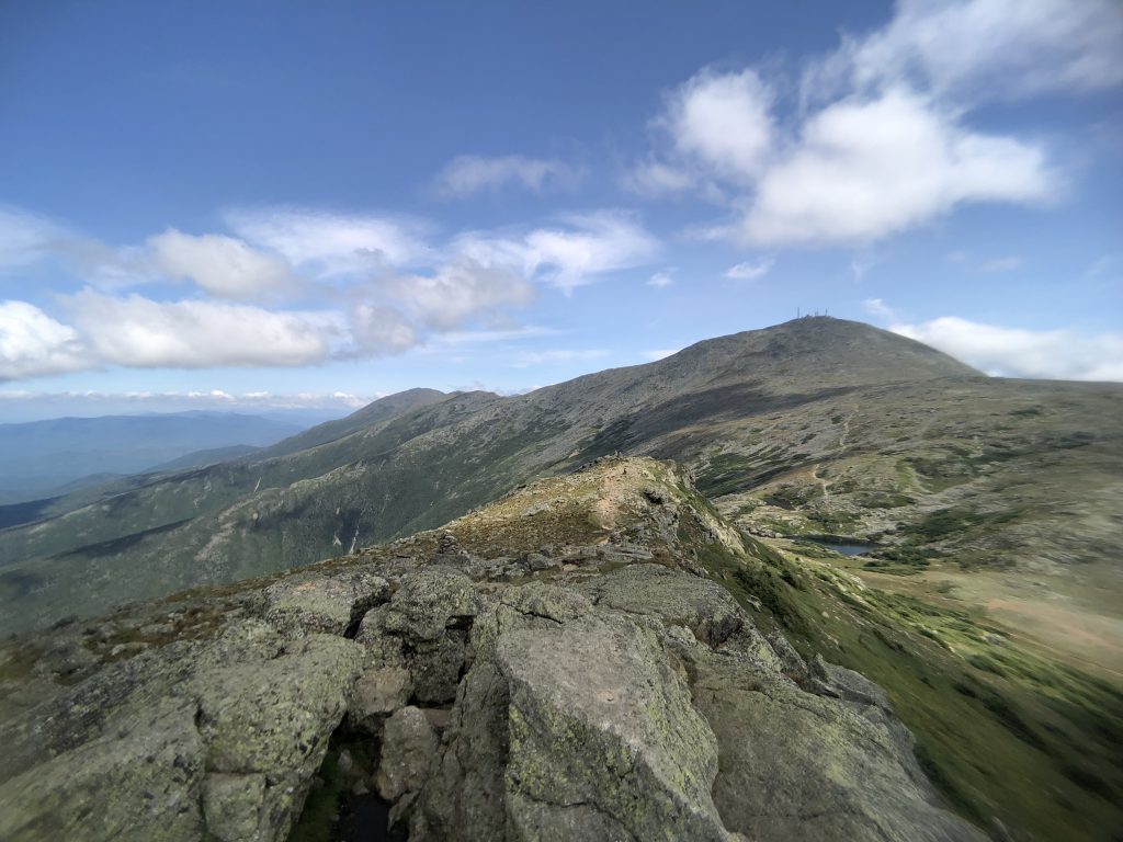
View of Mount Washington from the summit of Mount Monroe

The Crawford Path was fairly smooth trail until the final climb up to Mount Washington where it turned into a rock scramble.
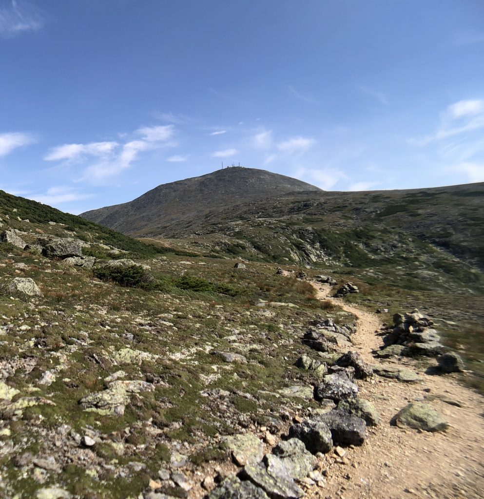
Crawford Path
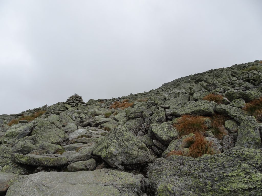
Crawford Path heading up the flank of Mount Washington

The top of Mount Washington was a beehive of activity.  There was a long line of people waiting their turn to take their photo next to the “MT. WASHINGTON SUMMIT – 6288 FT” sign.  The majority of visitors to the summit arrive via the “auto road” or by riding the Cog Railway.  Construction of the auto road, which took from 1854 to 1861, must have been quite an undertaking for its day.  I can only imagine the hardships those workers endured, living in shanties on the side of the mountain, and working outdoors in the wild Mount Washington weather.

Based on the number of trains I observed going up and down the mountain, the Mount Washington Cog Railway looks pretty popular.  Completed in 1869, it was the first cog-driven mountain-climbing railroad in the world.  The railway was the brain child of a local engineer named Sylvester Marsh.  Even though they considered the railway a crazy idea and doomed to fail, the New Hampshire legislature gave him permission to proceed.  They figured that since Sylvester was putting up his own money, they had nothing to lose.  As it turned out, the railway was a huge success, and Sylvester had the last laugh.  President Ulysses Grant, while vacationing in New England, even took the train up the mountain in August of 1869.

Today, with a maximum gradient of over 37%, it is the second steepest cog railway in the world, second only to another in Switzerland.  Most of the trains are biodiesel-powered, but they have two daily runs that are propelled by coal-fired steam engines.  These belched out an impressive quantity of steam and black smoke.  The AT actually crosses the track, so I was able to observe close up and even got dowsed with coal-fire ashes.  The train ride looks like fun.  I hope to come back and ride it someday.
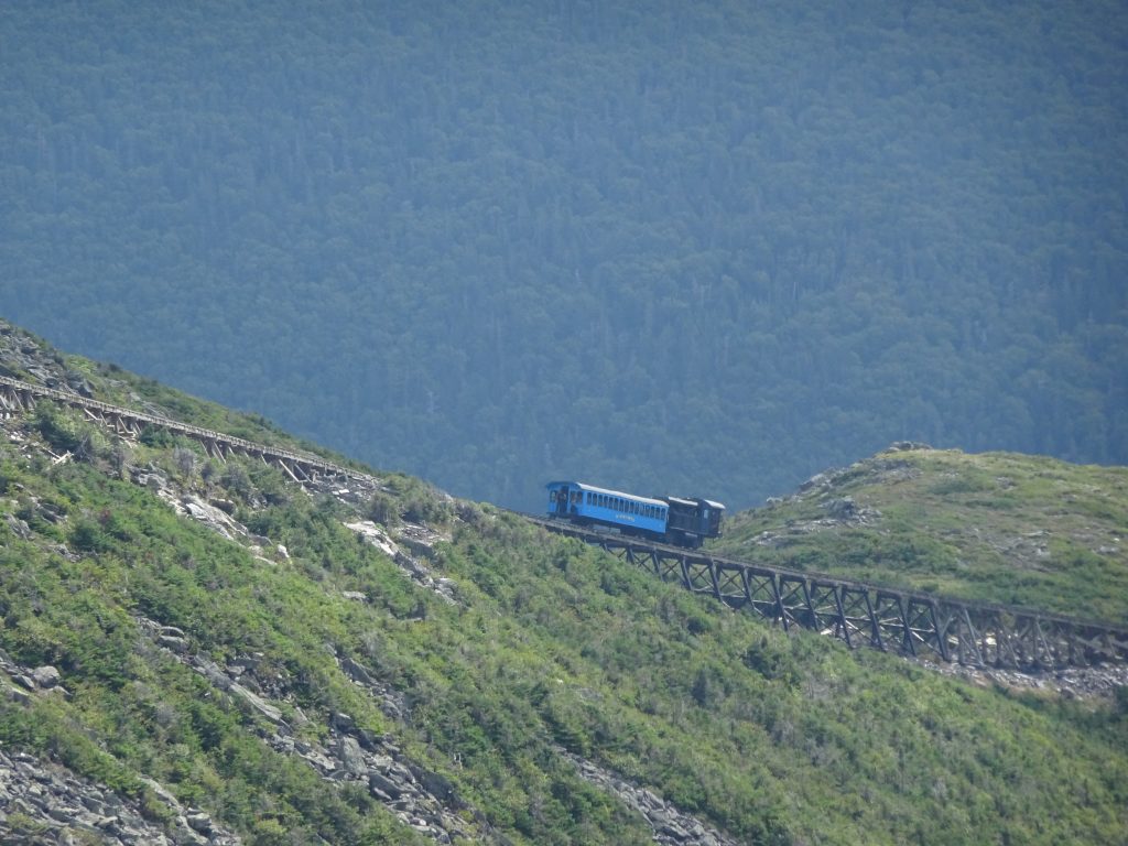
Train heading down the mountain
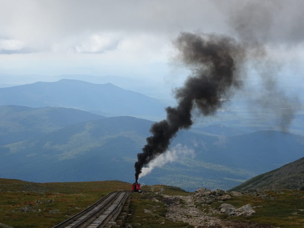
Coal-fired train coming up the mountain
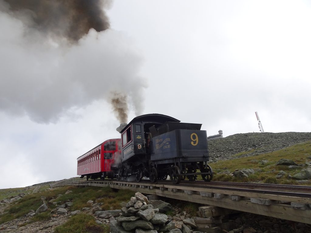
Coal-fired train passing by
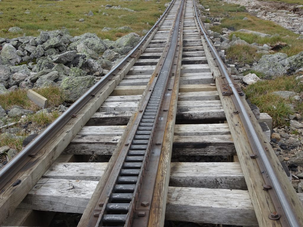
Cogs provide the traction, hence the name

After visiting the snack bar, it was back down the other side of Mount Washington to see more of the Presidentials.  From the top of mountain, the AT follows the Gulfside Trail which traverses near the summits of Mount Clay, Mount Jefferson, and Mount Adams before summitting Mount Madison.
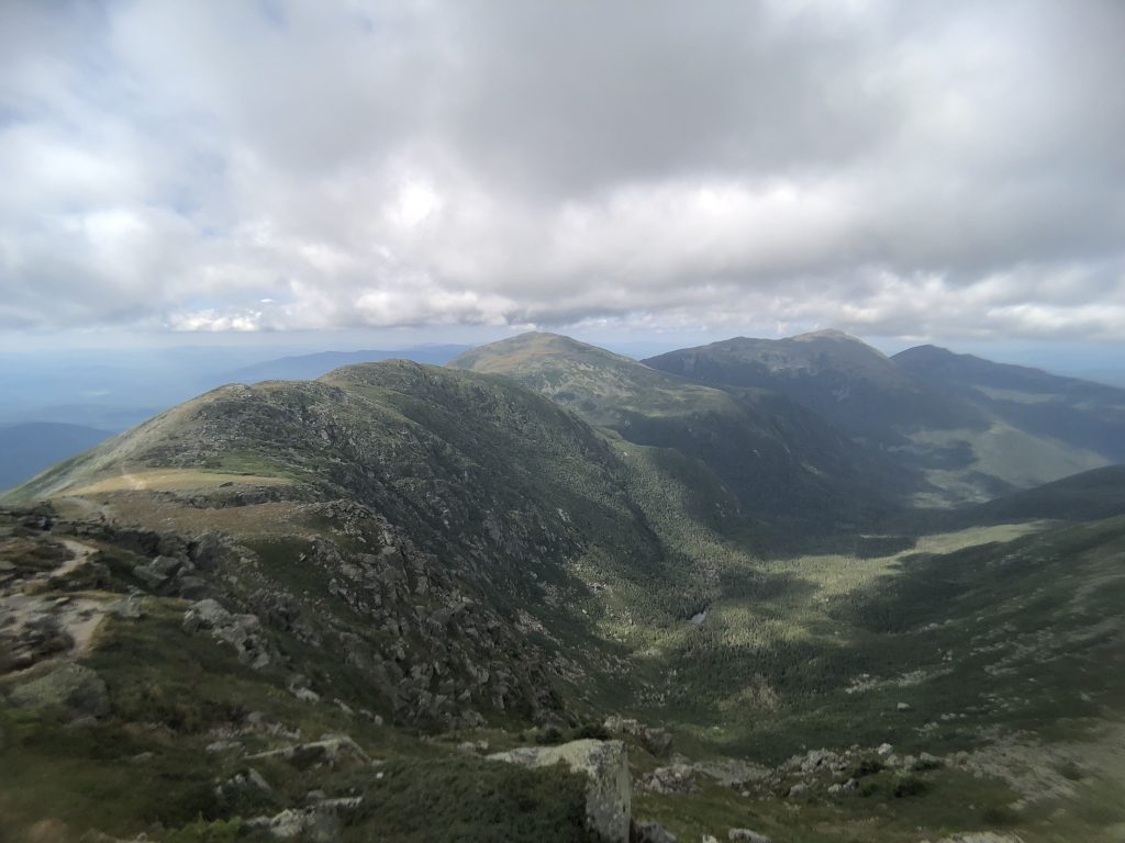
Presidentials: (Left to Right) Mount Clay, Mount Jefferson, Mount Adams, and Mount Madison, viewed from the slopes of Mount Washington

Most of my time on the Gulfside Trail was spent hopping rock to rock.  All the trails above the tree line are marked with cairns to aid navigation.  Instead of following a set path, hikers deadhead from cairn to cairn across the boulder field.
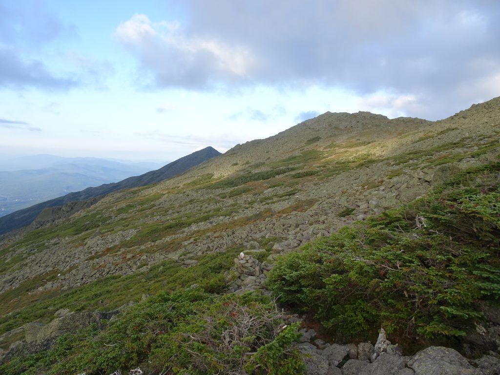
Traversing the mountain flank, Mount Madison in the far distance
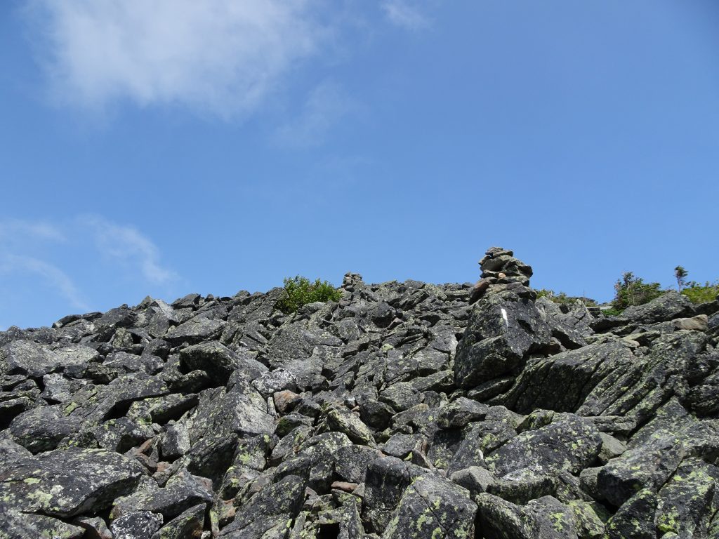
On the slopes of Mount Madison
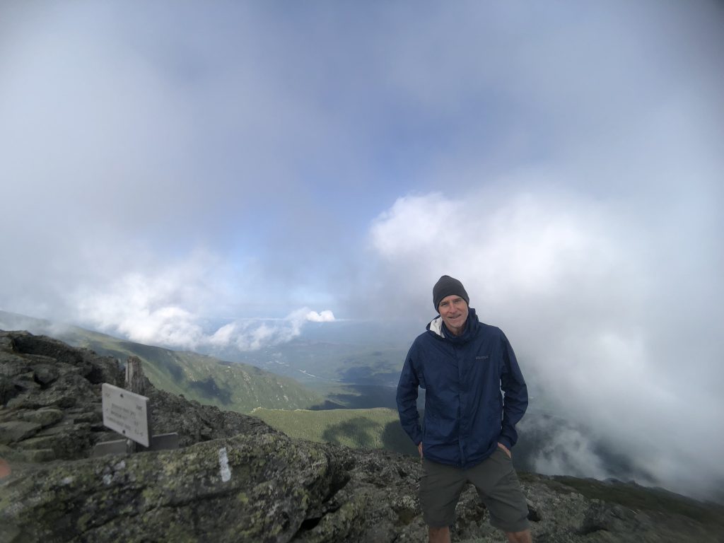
On top of Mount Madison

When it comes to hiking in New Hampshire, the Appalachian Mountain Club (or AMC), seems to run the show.  Founded in 1876, they claim to be the America’s oldest nonprofit conservation and recreation organization.  The AMC runs full-service “huts” in the Whites as well as a number of hiker shelters and campsites in the high country.  The huts have a rich history.  Their first hut was constructed in 1888 in the saddle between Mount Adams and Mount Madison.  A modern “Madison Hut” sits there today.
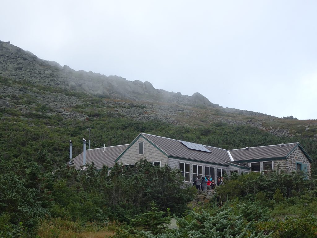
Modern day Madison Hut
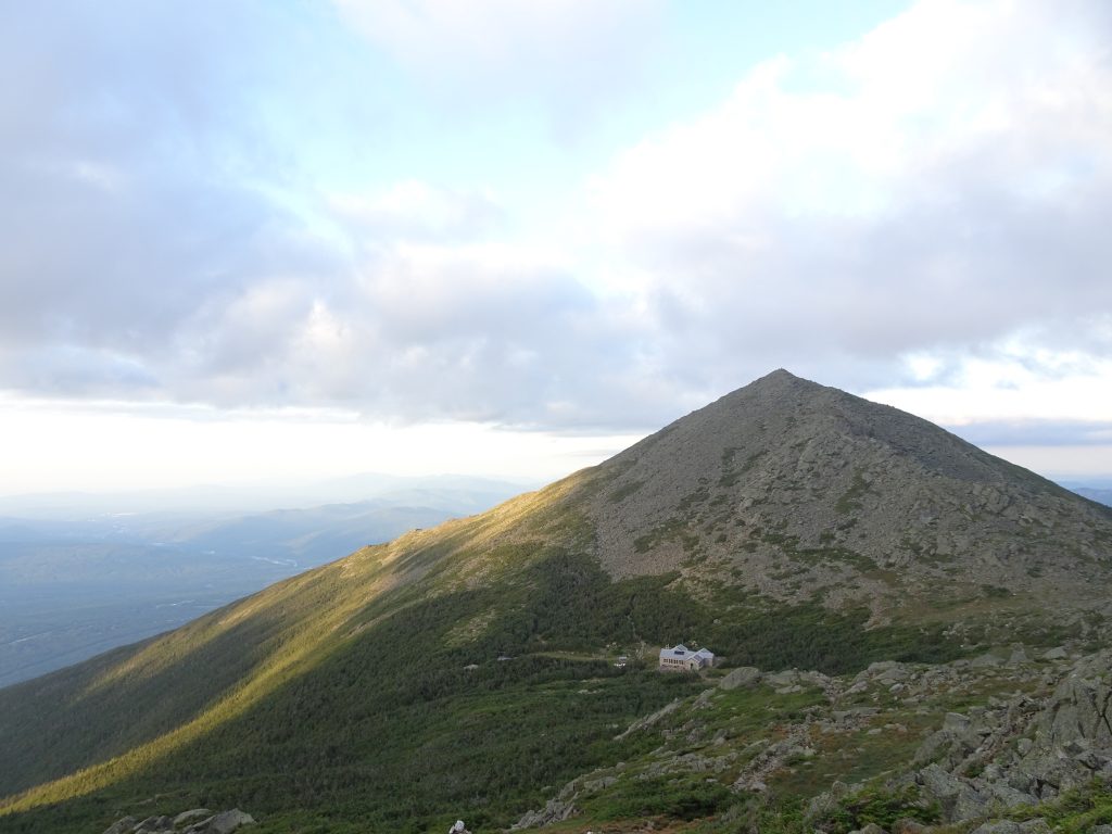
Madison Hut – At the foot of the mountain that gives it its name

In 1915, the “Lake of the Clouds Hut” was constructed below Mount Washington.  Since rebuilt, this is now the largest and most popular hut.  Today, there is a system of eight huts, making it possible to hike large sections of the Whites while carrying only a day pack.
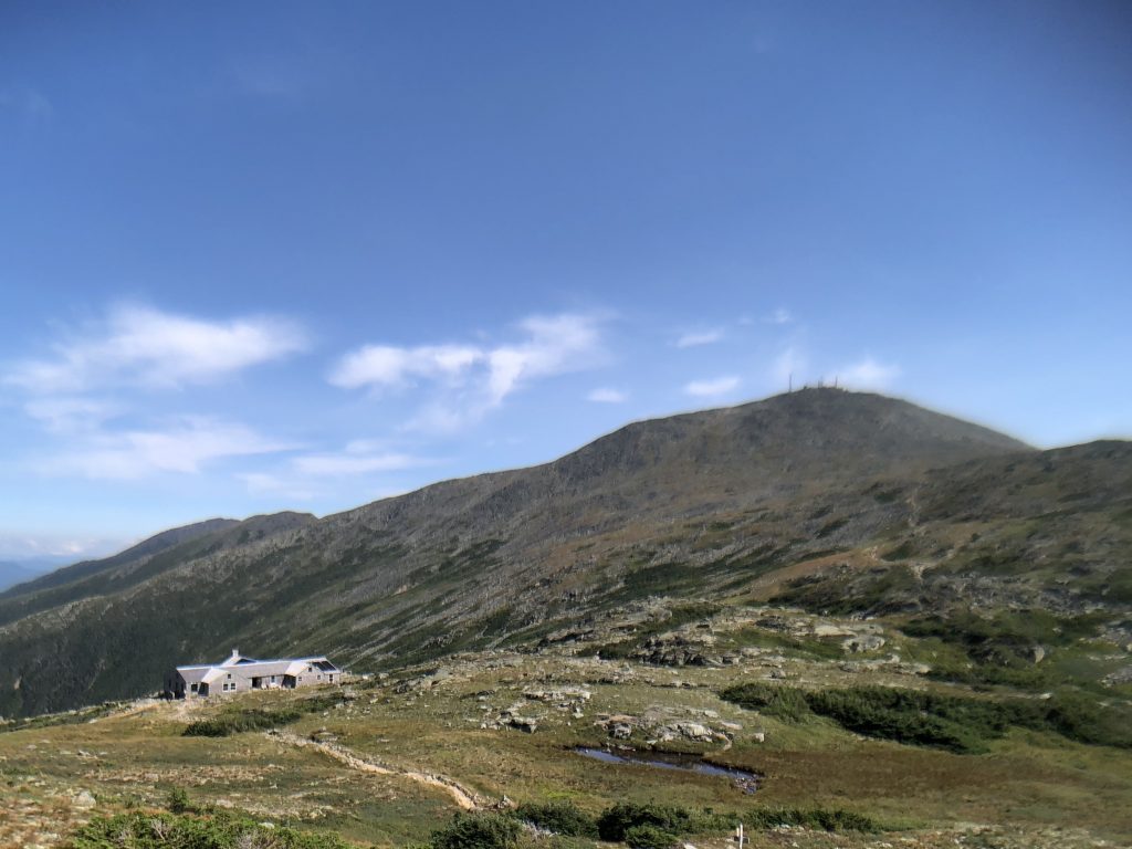
Lake of the Clouds Hut below the summit of Mount Washington

At a hut, for $139 a night, you get a bunk in which to sleep plus breakfast and dinner.  Non-perishable supplies for the huts are dropped in by helicopter while perishable food must is packed in.  This fact, along with “location, location, location”, probably explains the lofty price.

Thru hikers have the option to do “work-for-stay” where in return for a couple of hours of chores they get to eat for free and sleep on the dining room floor (after the paying customers have vacated).  This didn’t seem like a great value proposition, so I instead stayed at the AMC tent sites or shelters.

The AMC charges thru hikers $5 per night to stay at their tent sites or shelters.  Some thru hikers gripe about the charge, but I thought it was a good deal.  Their shelters are top notch, their privies are clean, and they even provide wooden platforms on which to pitch you tent.  The organization is nonprofit and some of money is used to fund trail maintenance.  While the trails in the Whites were difficult, I found them to be impeccably maintained.
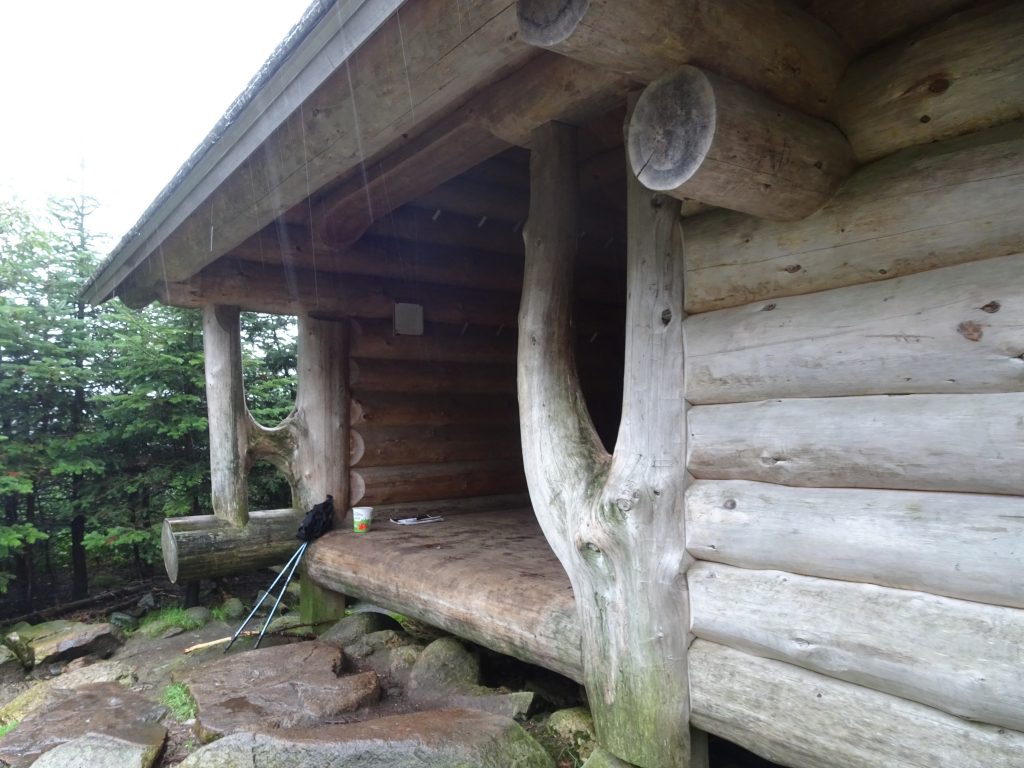
AMC Shelter – Check out the craftsmanship
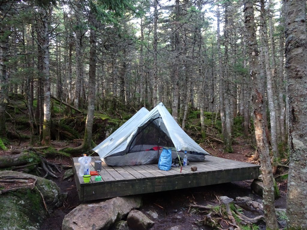
Living large on my wooden tent platform

I have been having good success with my birding in the New England States, but was having trouble identifying a couple of birds I had photographed in Vermont.  My son, Sam told me not to worry, text the photos to his wife, Lauren, and she would have a crack at it.  It turns out that Lauren was also stumped, so she called in the heavy hitters.  The ever-resourceful Lauren Coons emailed Project Feederwatch at Cornell University, who came back with the ID.  Here are my Ivy League-class birds.
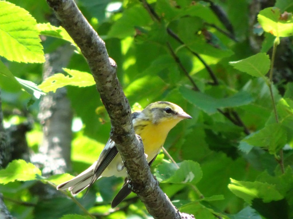
Blackburnian Warbler (female/immature)
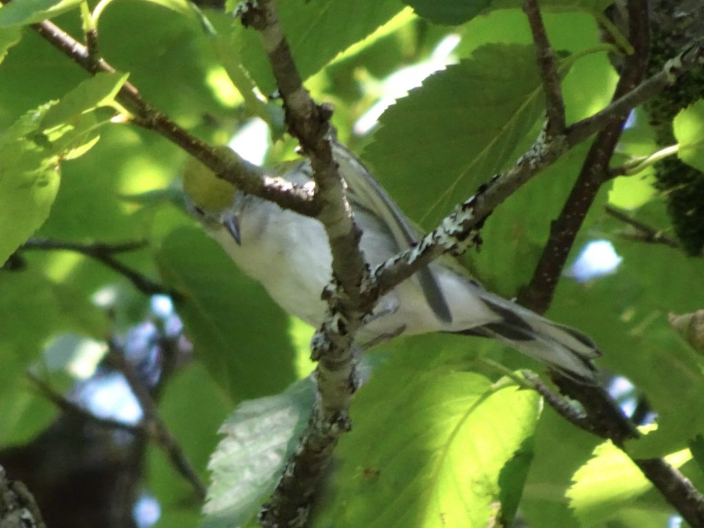
Chestnut-sided (female, non-breeding or immature)

The other day, I was lucky enough to get pics of a partridge in a pear tree.  To be precise, it is a Spruce Grouse in a balsam fir.  The Spruce Grouse is distinguished by having the red eyebrow.
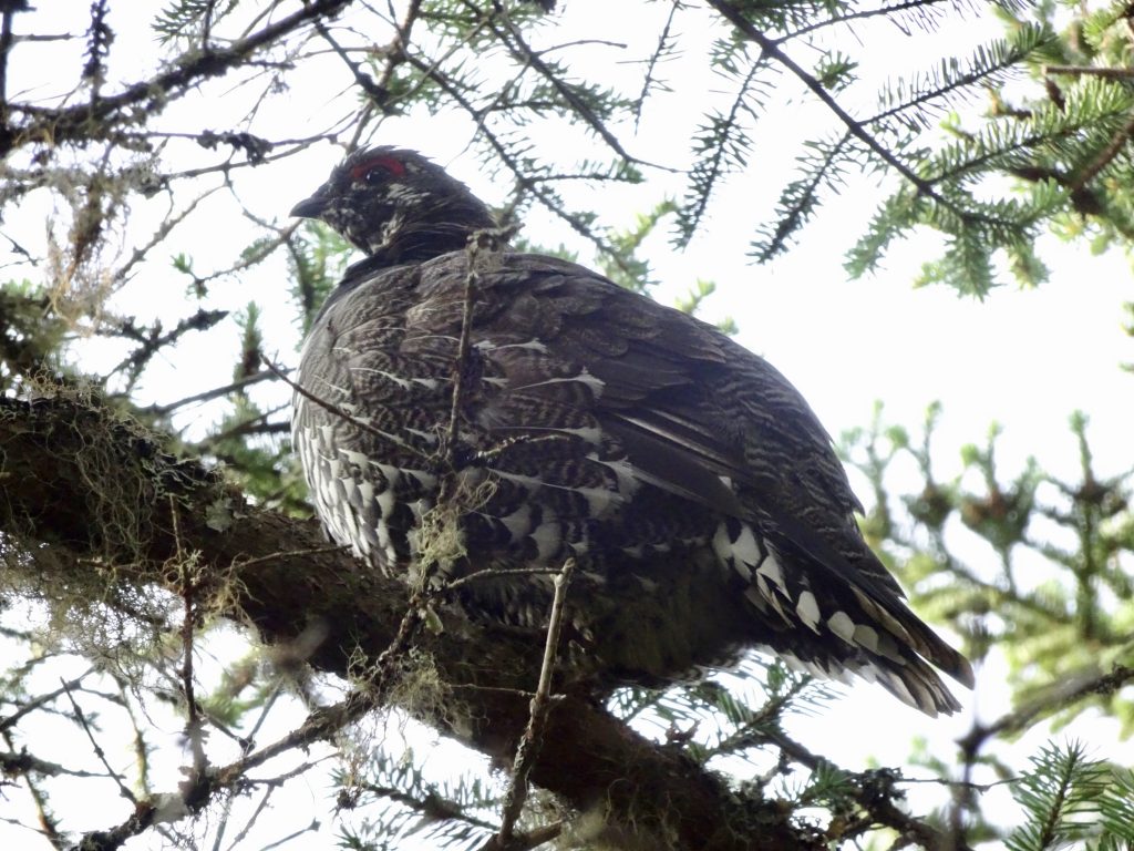
Spruce Grouse
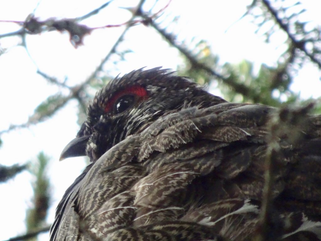
Red eyebrow – Distinguishing characteristic of the Spruce Grouse

I had no trouble identifying this White-throated Sparrow enjoying a bird bath in a puddle on top of Mount Moosilauke.  There was a picture of the bird on a wall plaque in one of the huts.
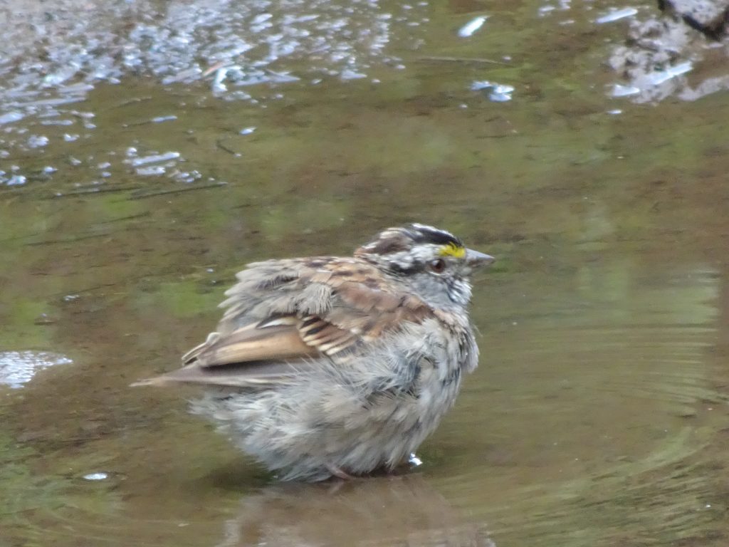
White-throated Sparrow

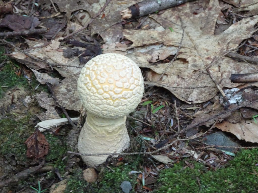
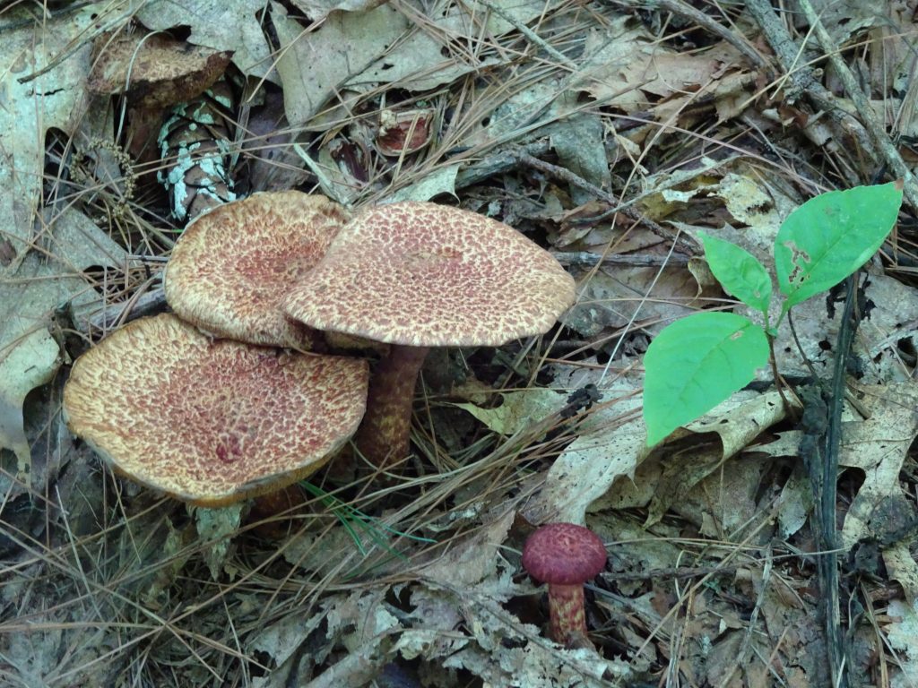
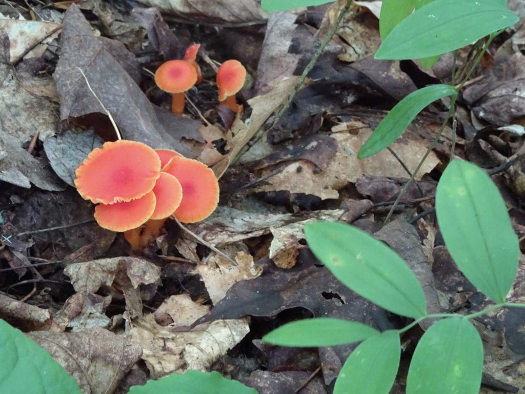
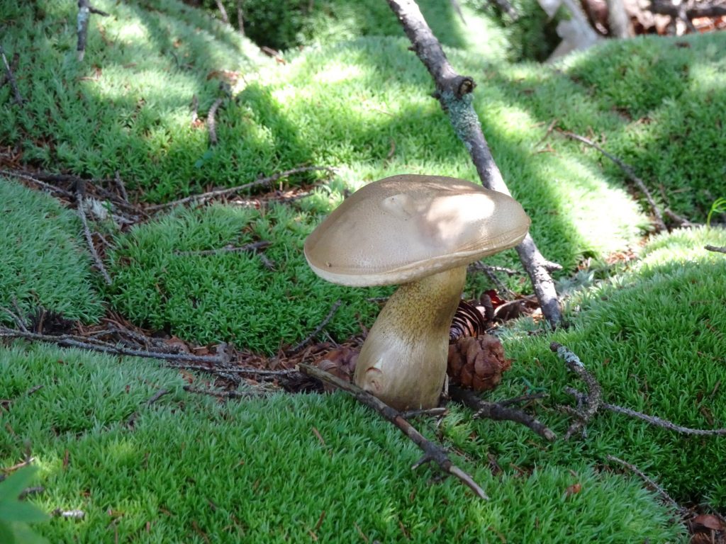
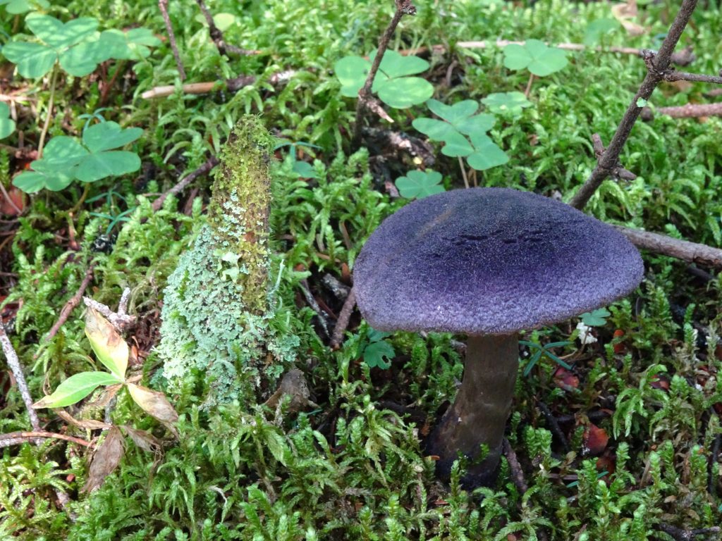
I continue to see great mushrooms and have made some additions to my mushroom gallery. Here is a dark purple mushroom that I found to be really pretty.
I can always tell I am the first one down the trail in the morning because I get a face full of spider webs.  One morning I can upon this fully-constructed web, right in the middle of the trail, obviously having been constructed overnight!  It has always been a mystery to me how they set out the guy lines.
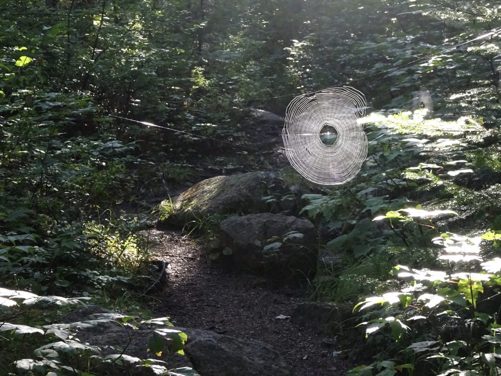
Spider web across the trail

Other flora and fauna …
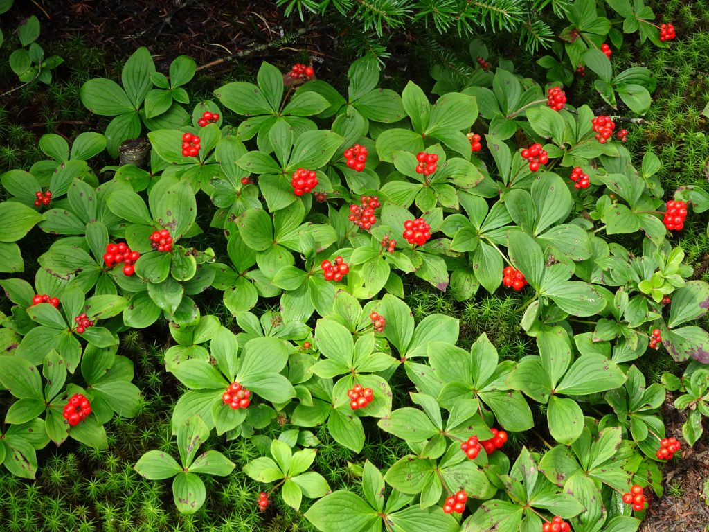
Canadian Bunchberry
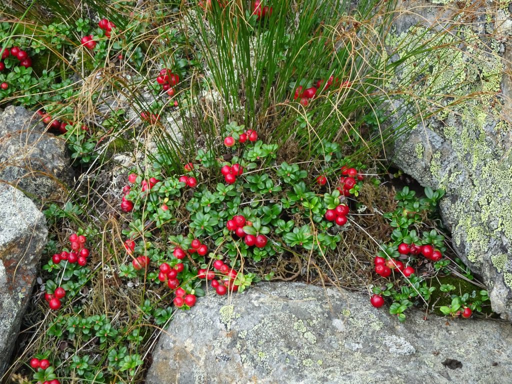
Mountain Cranberry
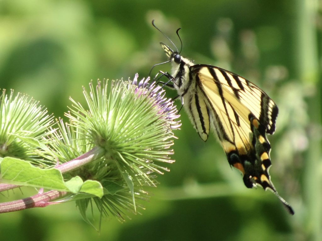
Tiger Swallowtail Butterfly feeding on Burdock
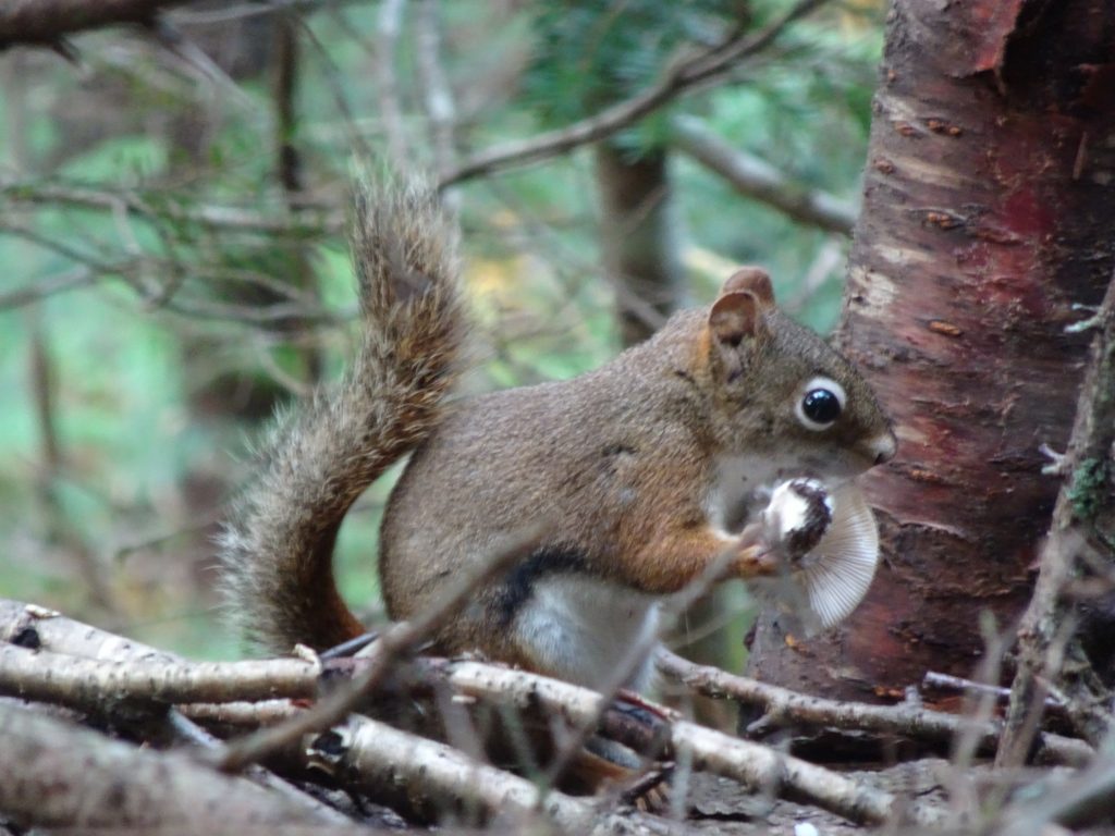
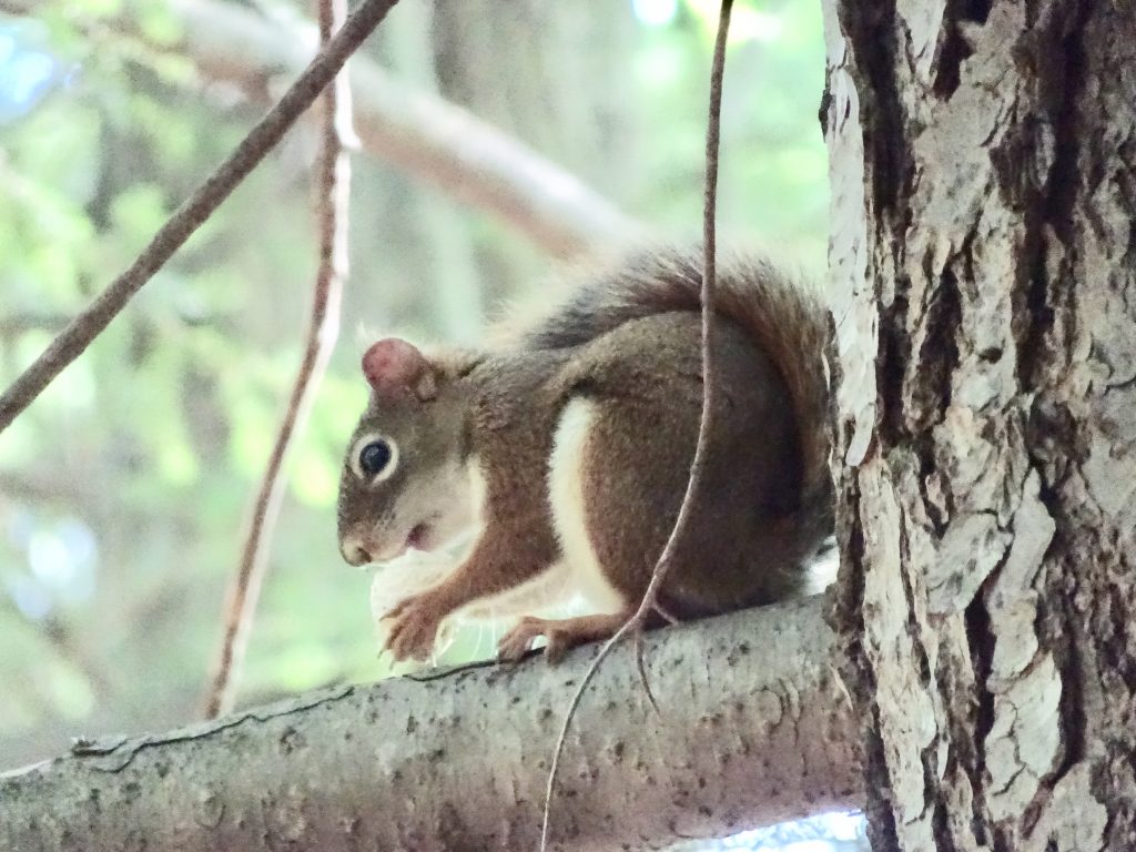
Red Squirrel snacking on a mushroom

If you’d like to receive an email when a new post is up on the blog, click the email icon on the bottom of the page to subscribe. Thanks for following!
Vermont

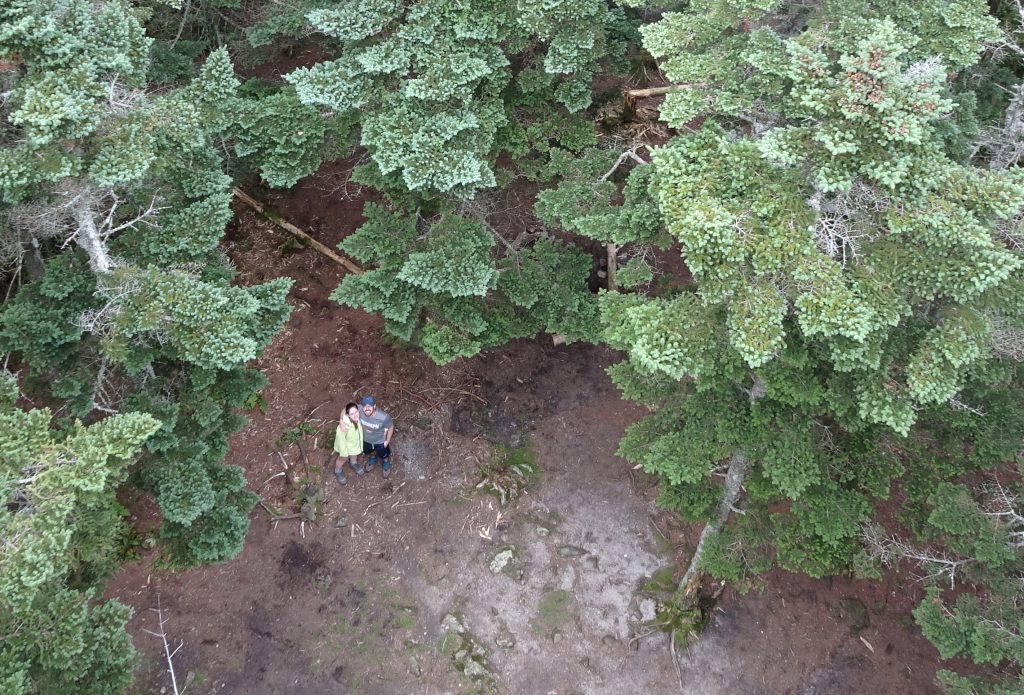
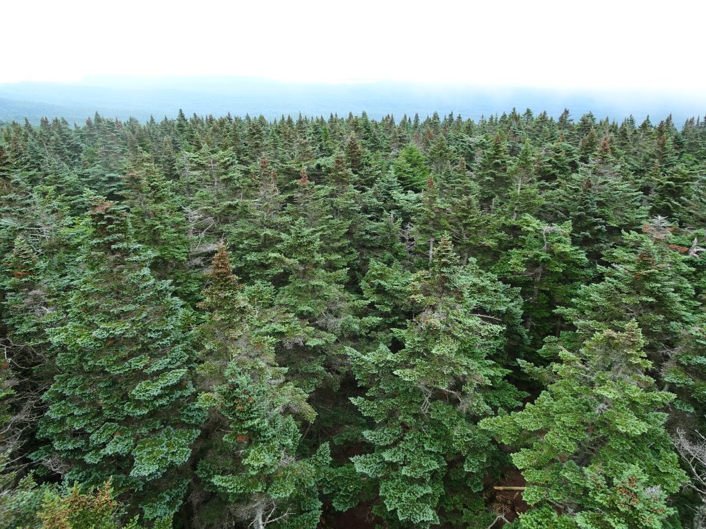
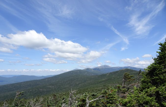
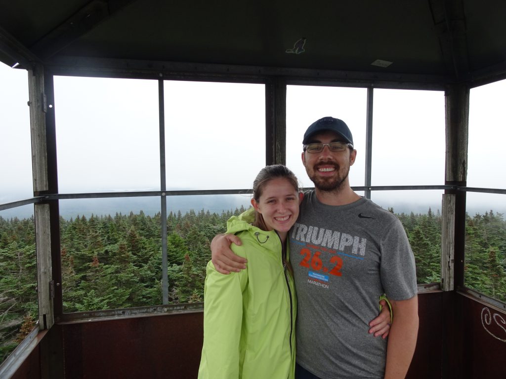
At the top of Vermont’s Glastenbury Moutain, at elevation 3748 feet, sits the Glastenbury Fire Tower.  Look any direction, and you see nothing but mountains.  With only 624,000 residents, Vermont has the second smallest population of any US state, so there is plenty of wilderness.  The mountain sits in the town of Glastenbury, population 8.  It was here that I had brought my daughter, Shelby, and her husband, Julian to join me to hike.

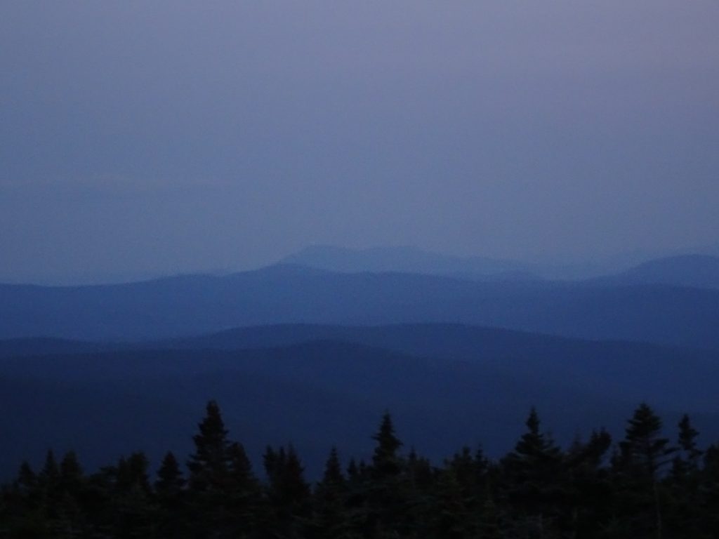
View south from the tower at dusk (Beacon on top of Mount Greylock’s War Memorial faintly visible)

Shelby and Julian in the tower

Looking down from the tower

View of the spruce forest

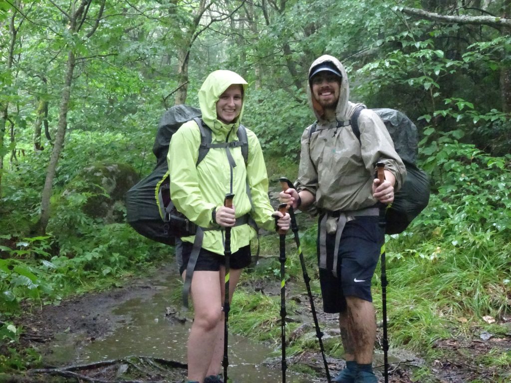
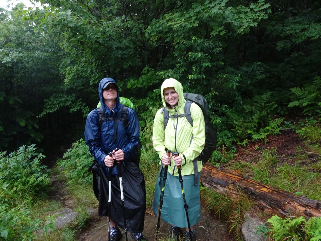
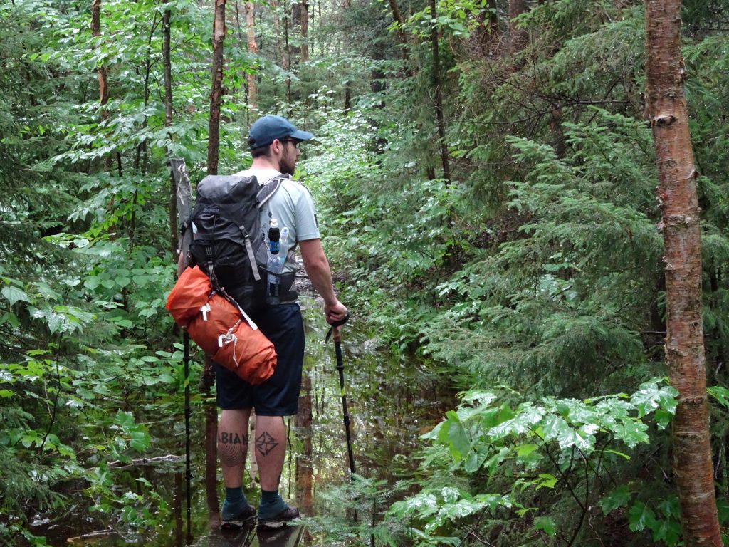
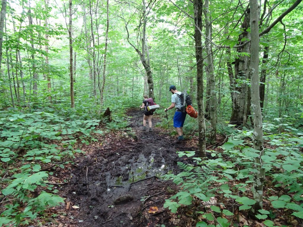
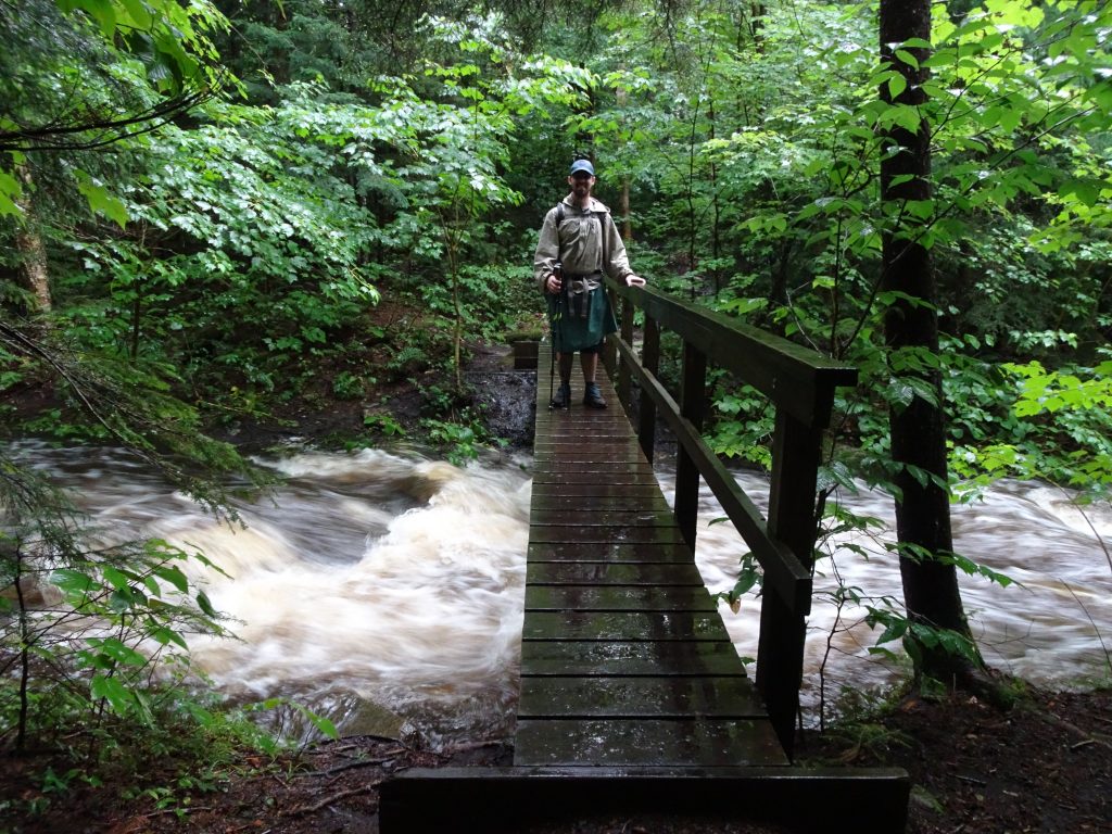
We had made plans for Shelby and Julian to join me to hike on August 1st, starting wherever I would happen to be on the trail at that point, which turned out to be southern Vermont.  Of the 150 miles of the Appalachian Trail that travels through the state, we ended up hiking the section between Bennington and Manchester.  This is one of the remotest parts of the trail.  After leaving the trail head in Bennington, the next road crossing is a gravel road over 20 miles away.  The trail in Vermont has a reputation for its mud (hikers call the state “Vermud”), and it did not disappoint.  Although we had the misfortune of hiking in the rain three out of our five days together, Shelby and Julian were real troopers.

Shelby and Julian in the rain

Shelby and her dad sporting their rain skirts

On the shuttle ride up to the trail head, Shelby and Julian were immediately exposed to trail life.  Exiting the shuttle, they both commented about the bad smell in the vehicle.  When I admitted that I didn’t smell anything, they accused me of having “a broken sniffer”.  A few days later, we were comparing notes with some other hikers that had used the same shuttle.  Those hikers also were unaware of the bad smell. This proves that rather than having a bad sniffer, I have a “thru hiker adaptation”, which sounds a lot better.

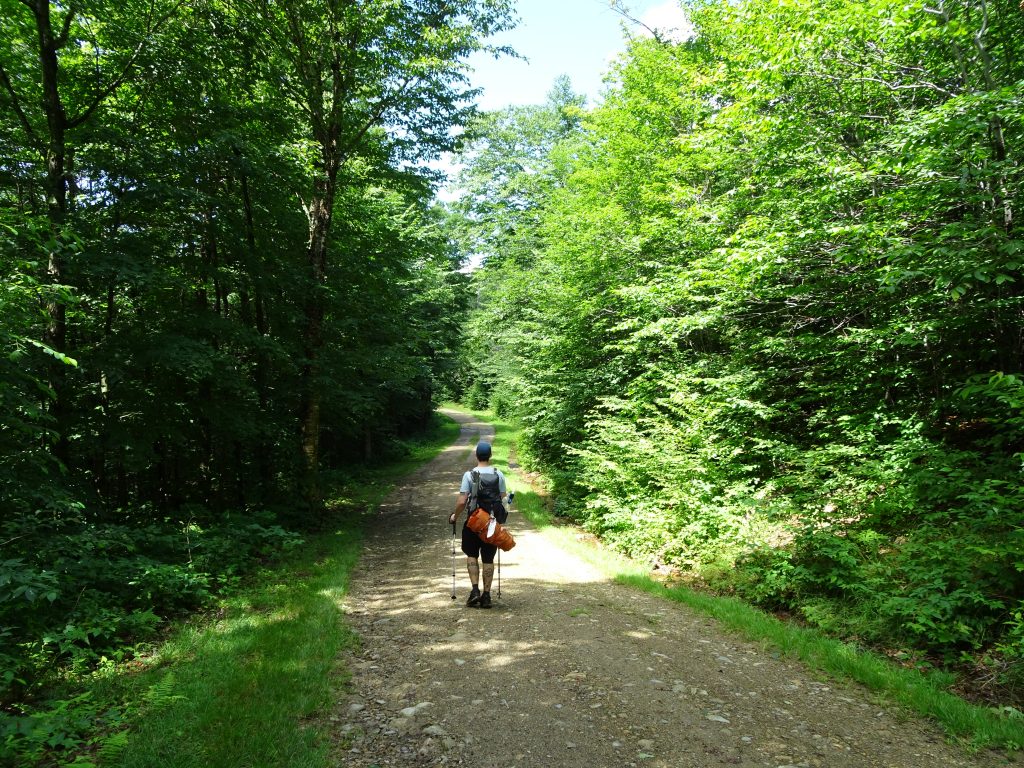
The trail was in exceptionally bad shape, which made for tough going.  The rough trail conditions were a result of the rain, the swampy nature of the terrain, and reduced trail maintenance due to this trail section’s inaccessibility.  Up and down trail, my experience has been that the closer you are to the trail head, the better the trail.

Shelby negotiating the bog

Julian contemplating his next step across the “pond”

Mud, mud, and more mud

Is this a trail or a river?

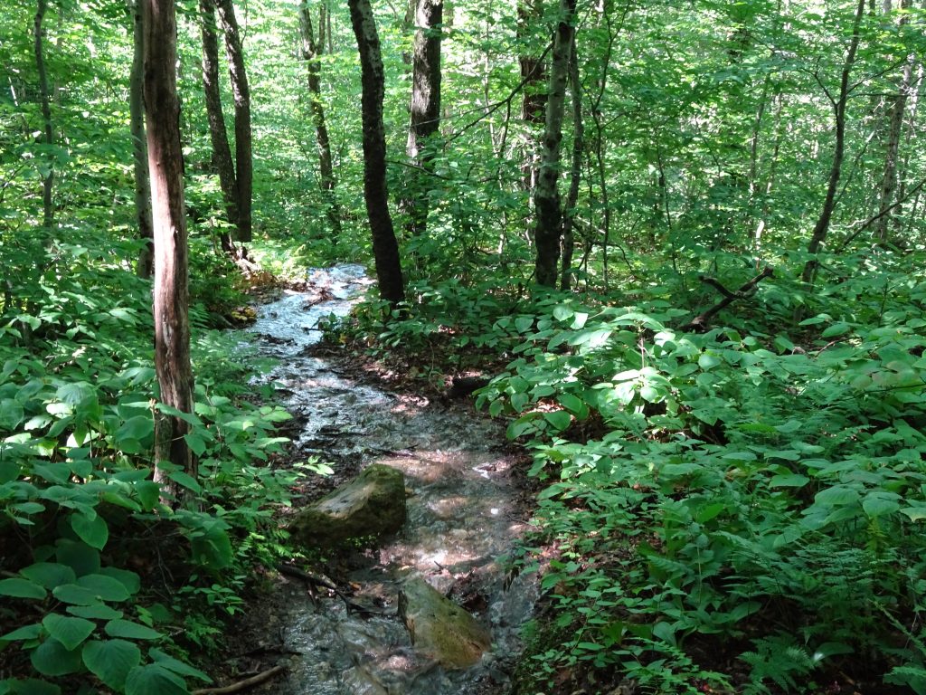
Rivers running high due to the rain

Finally, good trail and sunshine

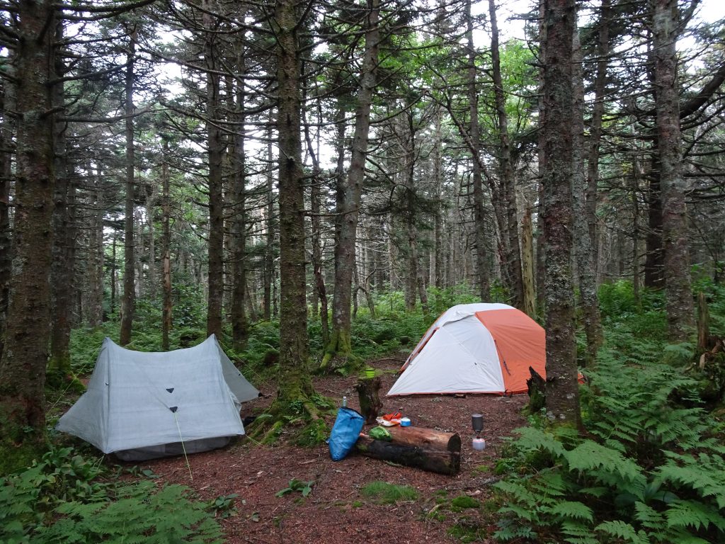
Shelby and Julian got the “full” experience.  They got to camp in the rain, camp by a shelter, “stealth camp” along the trail, and stay overnight in a shelter.  For my part, I was just very happy to have their company.

Stealth camp site at the top of Glastenbury Moutain

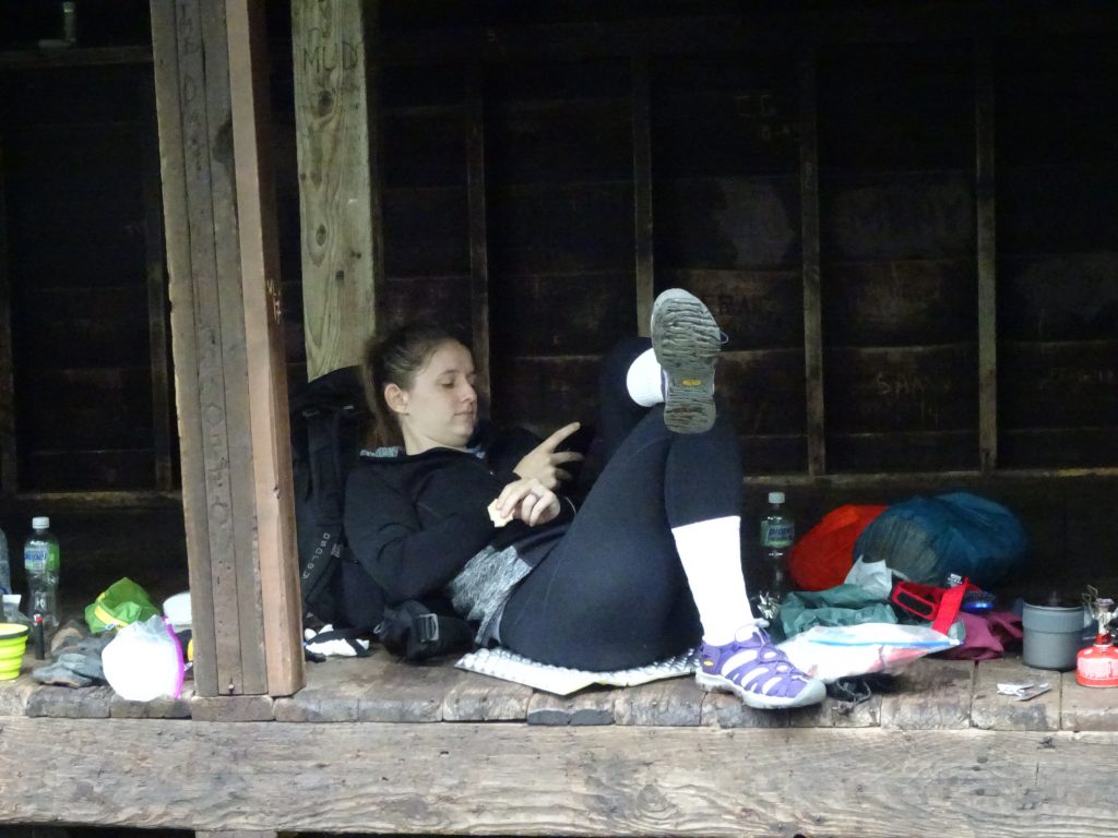
Shelby relaxing in her camp attire at the shelter

One night at the shelter, we ran into a guy who had come across another hiker who had broken his ankle and had ended up calling 911 for him.  He said it took the rescue team about three hours to reach them.  The rescue team consisted of two big burly guys, one with a T-shirt that read, “Truckers see more ___holes than doctors”.  According to his story, one guy picked up the guy’s pack, and the other one picked up the hiker, and off they went.  He said that although the rescuers didn’t look very “official”, they were the kind of guys he would want if he were in trouble.

At the top of Statton Mountain there is a small cabin which is occupied by a couple, Jeanne and Hugh Joudry, who act as caretakers for the mountain.  Up until 1980, the couple had worked as rangers in the mountain’s fire tower, after which time it was retired in lieu of using aerial surveillance.  In 1996, they came back to the mountain as caretakers to spend their “summer” there, May through October.  They have been doing so ever since.  A nearby ski area’s gondola that runs on weekends provides them a means to get into town for supplies.  They provide helpful info to hikers such as the location of shelters and water sources.  With thunder rumbling in the distance, they reminded us that it would be dangerous to climb up the metal fire tower.  We’d already cyphered that one out for ourselves.

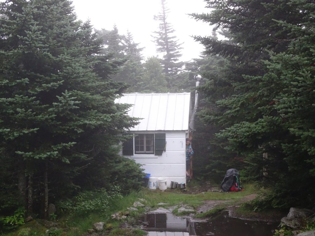
Stratton Mountain Caretakers Cabin

I found Vermont to be an extraordinarily beautiful place, both in town and in the countryside.  Our taxi driver in Manchester took a dim view of the state.  When I commented about how nice it was, he proceeded to go on a rant, explaining that the state was a “banana republic” where the privileged few had most of the money, and that one of their senators (Bernie Sanders) was a Communist.  I considered pointing out that it is the communists who favor equal distribution of wealth, but I did not want to encourage him.  Undeterred, the driver proceeded to quote a series of facts, like “50% of the children in the state are 200% below the poverty line.  (I didn’t know what to make of that one.)  I was curious, so I searched the web and found that Vermont is the 14th ranked state for having the least poverty.   Based on this, and from what I saw in town and on the trail, I think people in Vermont are doing okay.  Our taxi man should spend some time in southern Appalachia.  I could point out several towns for him where the paint is peeling right on Main Street.

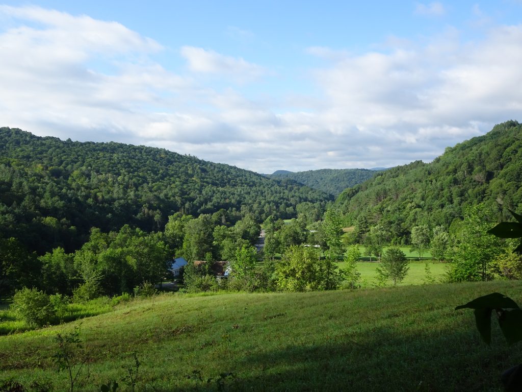
Back roads of Vermont

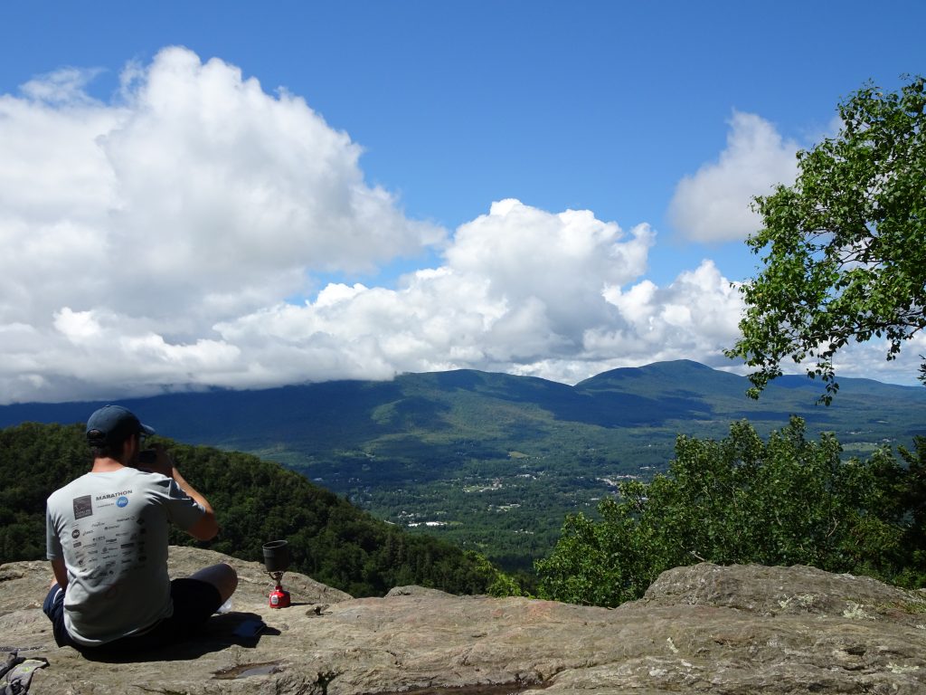
Coffee break on Prospect Rock with Manchester in the distance

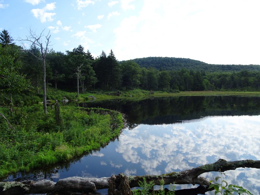
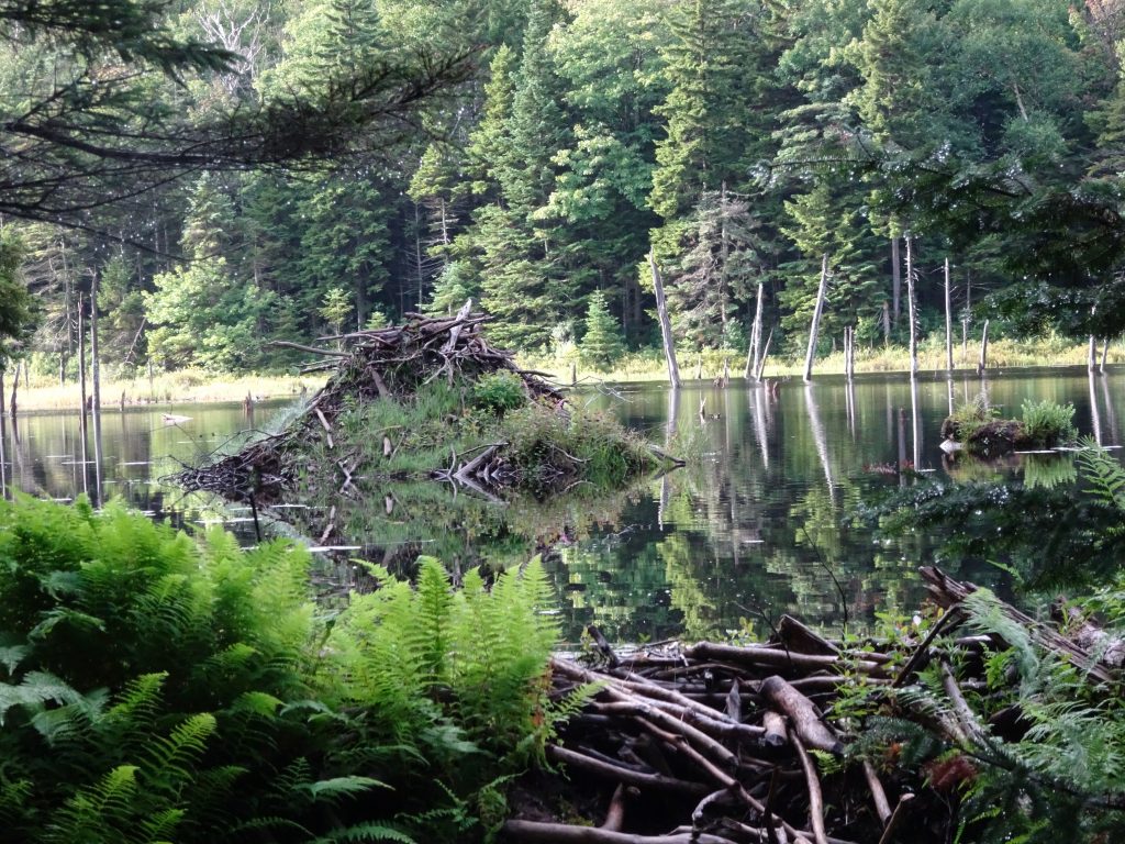
Beaver dam with impressive semi-circular design

Beaver lodge

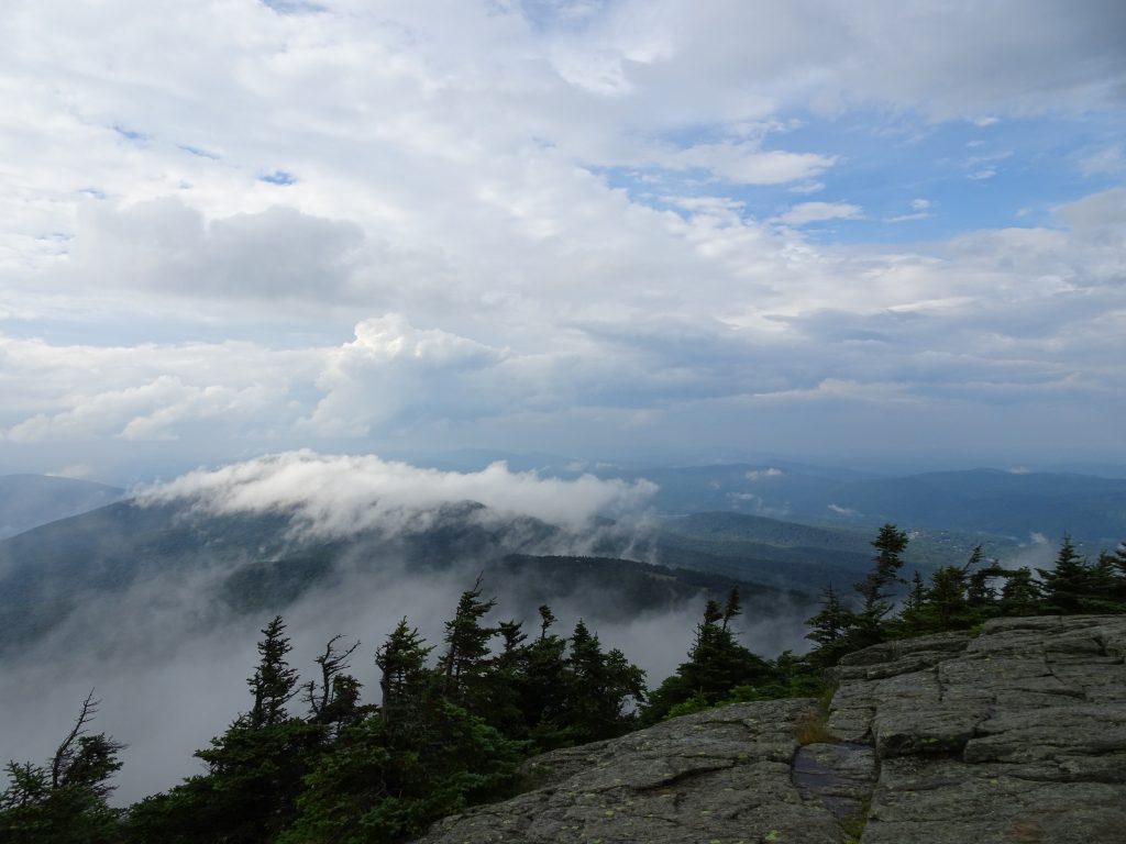
Stormy view from the top of Killington Mountain

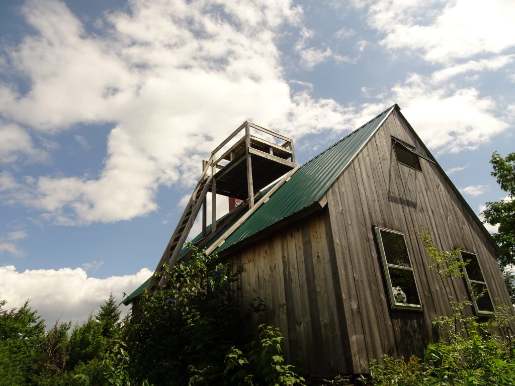
“The Lookout” – Private cabin free for hikers to use

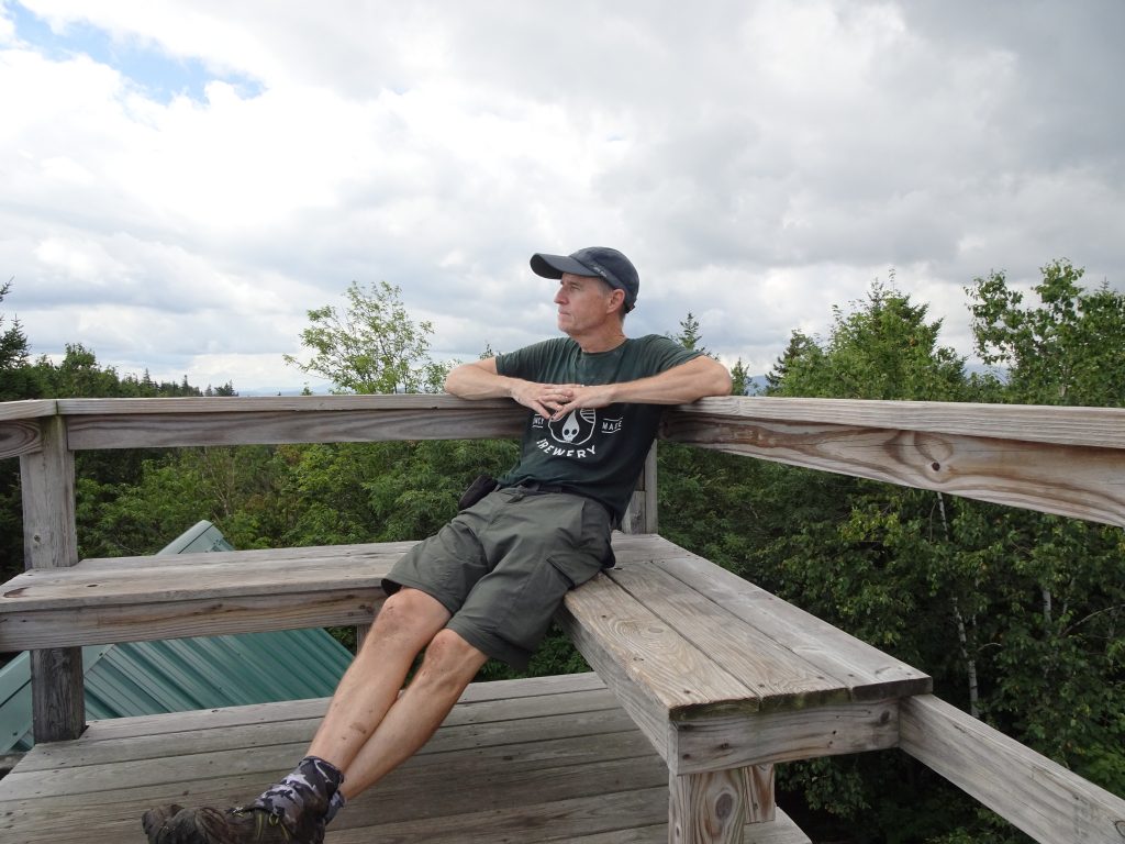
Randy taking in the view from the lookout platform

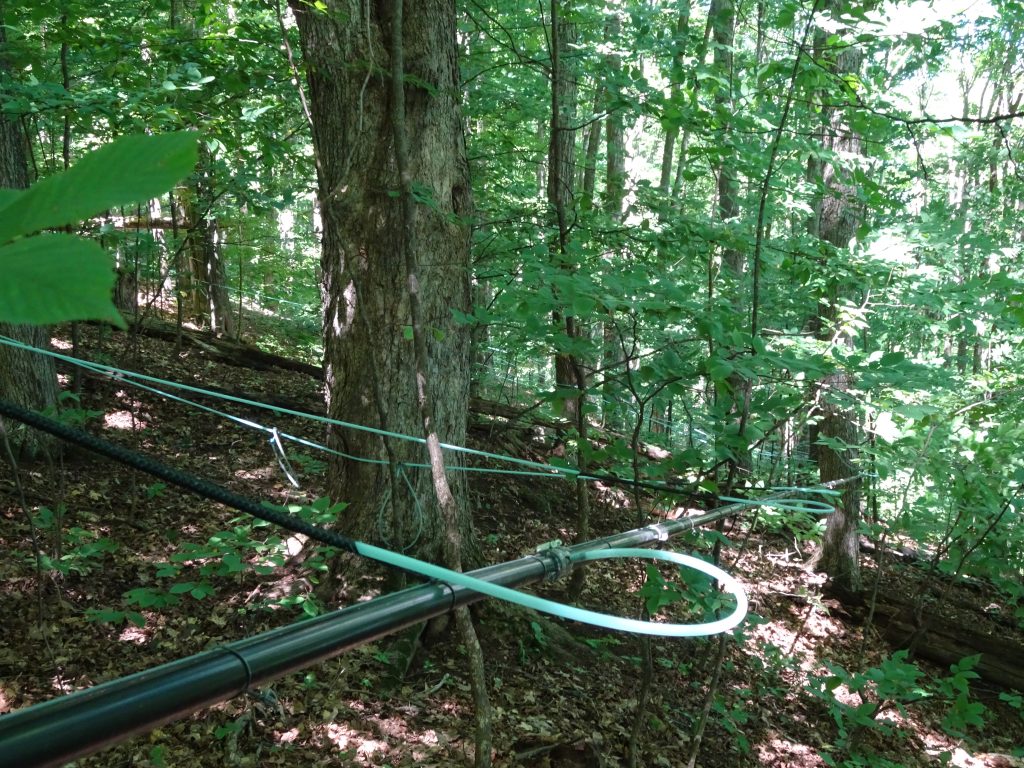
For some reason, I thought they still collected maple syrup by hanging buckets off of trees.  Imagine my surprise when at several locations, I came across a series of plastic pipes and hoses connecting the maple trees.  They apparently use the blue tubing to tap the trees and the black pipe to collect and carry the maple sap down the mountain.  At the base of the mountain, they open the spigot and out comes the sap!

Plumbing for collection of maple syrup

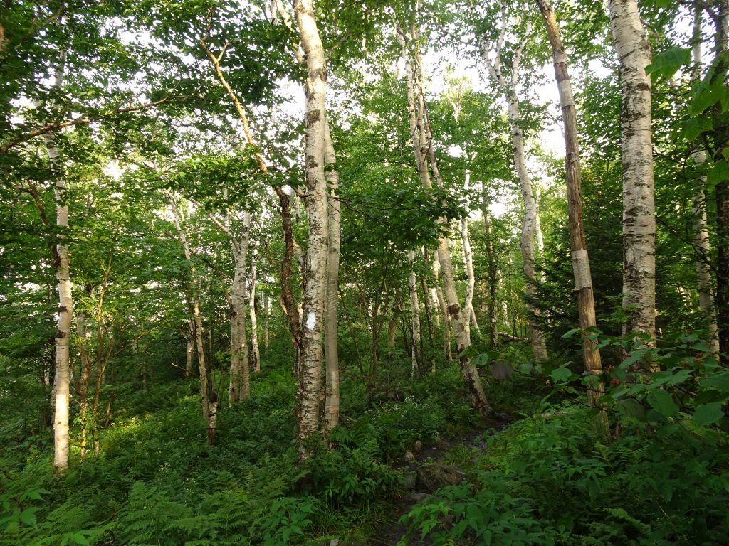
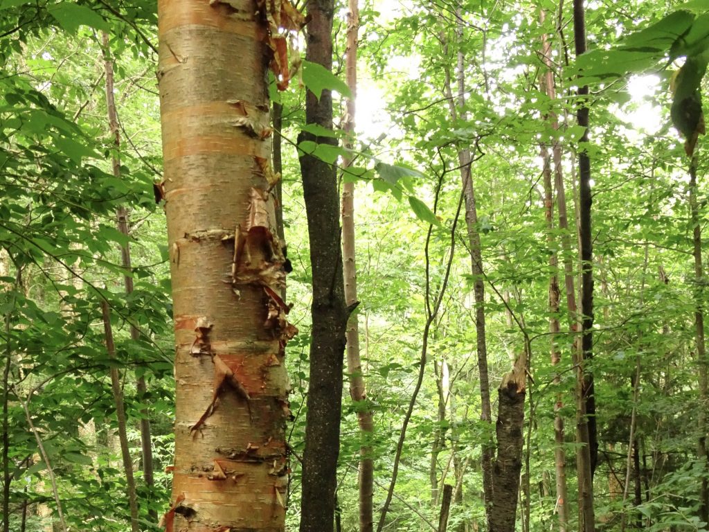
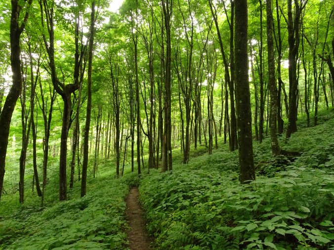
This post would be incomplete without talking about the trees.  In my opinion, Vermont has the most beautiful forests of any state I have visited so far.  Prior to this state, the maples and oaks ruled the hardwood forests.  In Vermont, once you get to the higher elevations, the forests are predominately birch trees and beeches.  I saw mainly three types of birches, the Paper Birch, the Yellow Birch, and the Sweet Birch.  The Paper Birches are similar to White Birches, but have more heart-shaped leaves.

Grove of Paper Birches

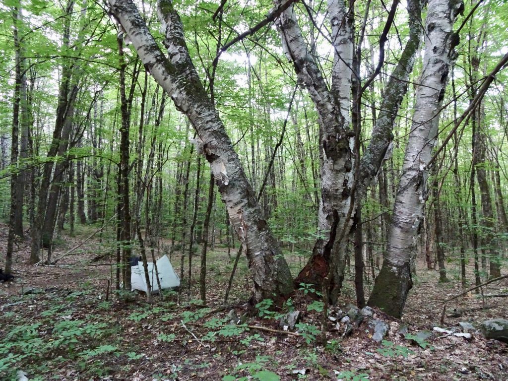
I took this photo of a birch clump near my stealth camp site.  You cannot tell from the photo, but the trunks are mammoth, each one about 30 inches in diameter.  The clump sits right on an old rock wall which is probably why they were spared from the saw.

Huge Paper Birch

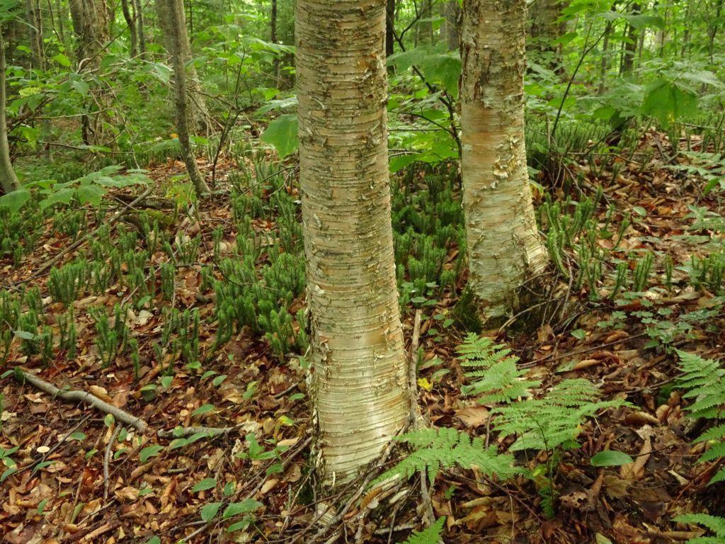
There are many Yellow Birch and Sweet Birch (also called Black Birch) trees in the Vermont forests.  They tend to grow larger than the Paper Birches.  I saw many that were more than two feet in diameter, while the Paper Birches were mostly less than 18 inches.  These two birches have similar leaves, but different barks.

Yellow Birch

Sweet Birch

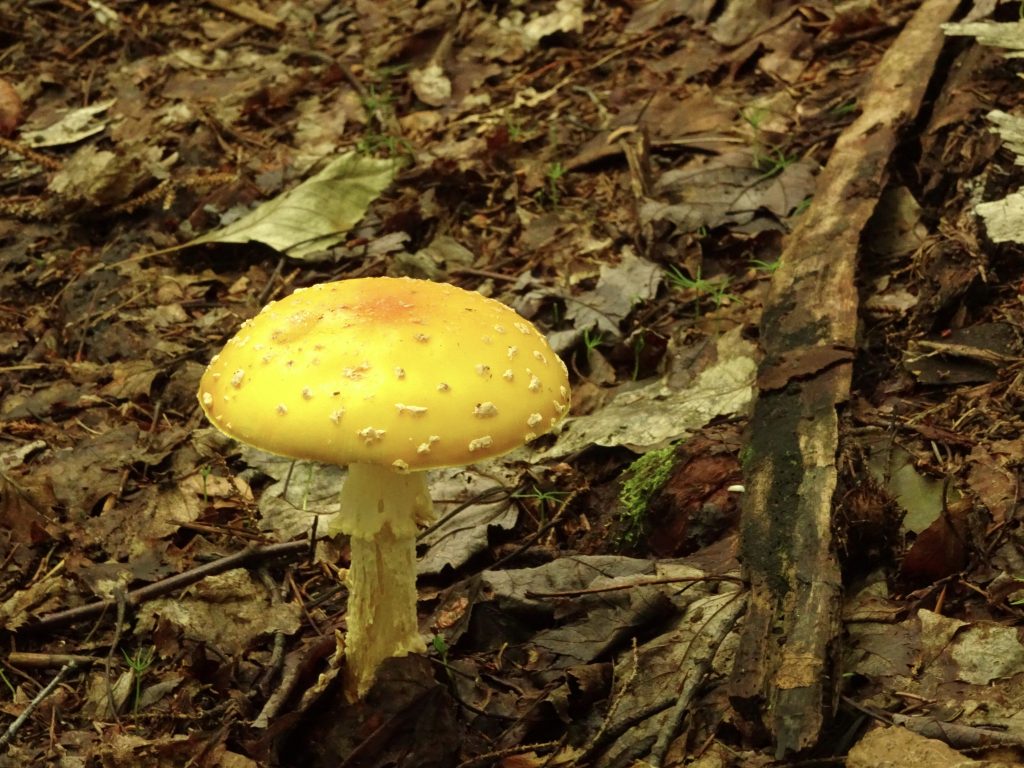
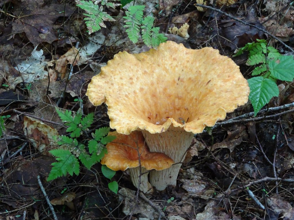
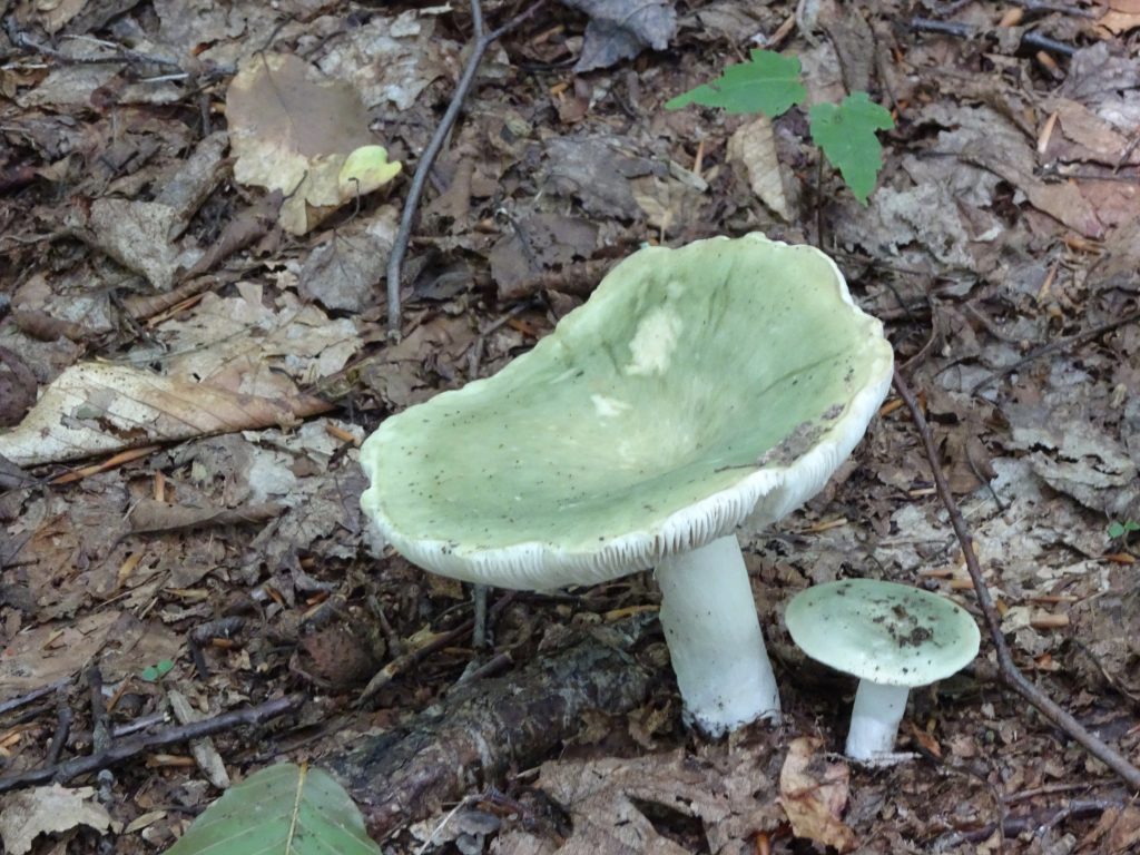
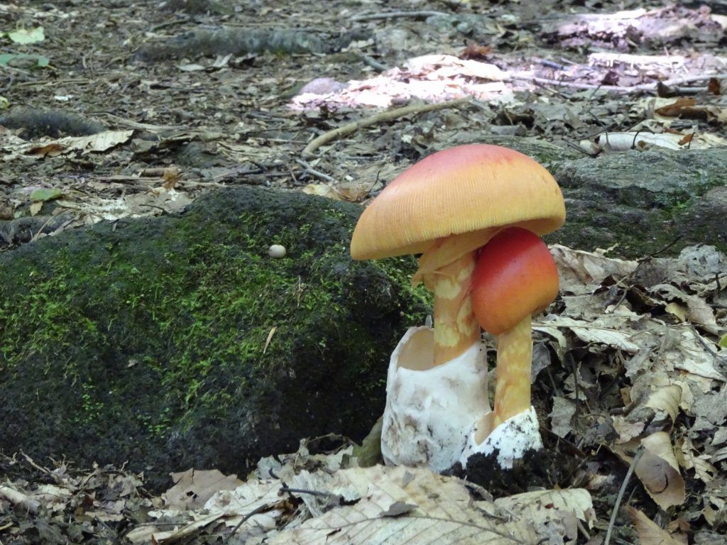
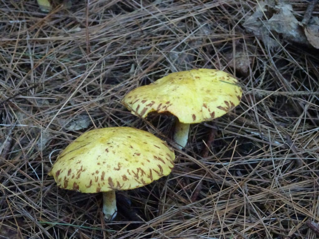
I have seen a lot of mushrooms up and down the trail, but Vermont takes the prize for the quantity and variety of its mushroom crop.  I have not made any attempt to identify them, but here are some of my favorites.  If you want to see my entire collection, click here.

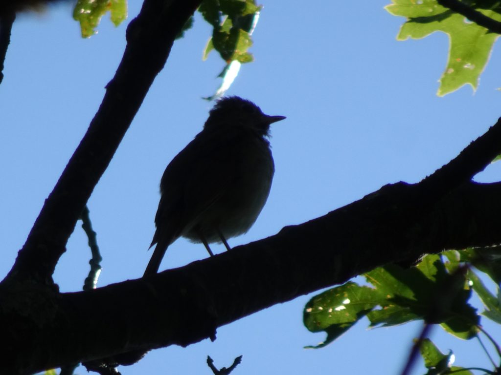
From my very first days on the trail, I have been hearing this very musical bird singing from the treetops.  Its song has very flute-like quality.  Once the leaves were on the trees, I had nearly given up hope of seeing one.  Finally, in Massachusetts, some 1500 miles into the trail, I caught this one in the act.  It is only fitting that I got its silhouette since this bird has been a ghost to me.

Hermit Thrush (singing)

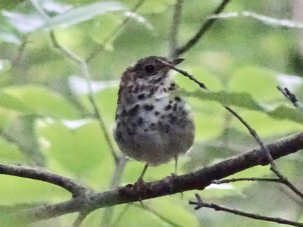
A quick Google search using “musical bird flute-like” readily identified my mystery bird as the Hermit Thrush.  What a fitting name!  It turns out that I had many times seen this bird foraging in the understory, but had never made the connection with my musical bird.  Of course, it makes perfect sense that a bird would not sing down low where its predators are lurking.

Hermit Thrush (foraging in the understory)

A little research revealed that my thrush was well regarded by both artists and scientists.  The poets Walt Whitman, Amy Clampitt, and T.S. Eliot have all made references to this bird.  Unlike the human larynx, which has a single pipe, all birds have a syrinx having two pipes.  Scientists have found, that unique among birds, the Hermit Thrush simultaneously sings two notes (one in each pipe) that are in musical harmony.  I knew there was something special about this bird’s song!  This thrush’s call even appears in Super Mario Galaxy for the Nintendo Wii.  And, last but not least, the Hermit Thrush is Vermont’s state bird, which is why I have featured it in this post.

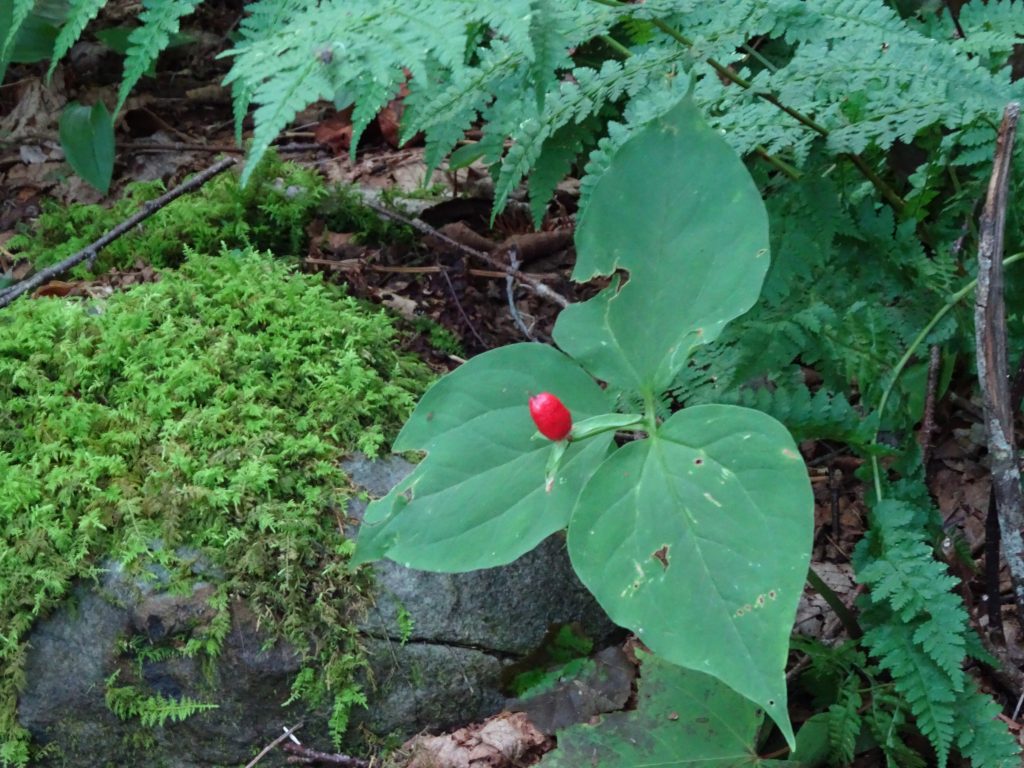
In an earlier post, I showed pictures of Trillium plants with their pretty white, yellow, and red flowers.  Along the trail, I am still seeing the Trillium plants, but now with a single red berry in place of the blooms.

Trillium

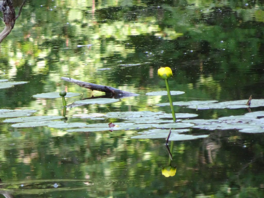
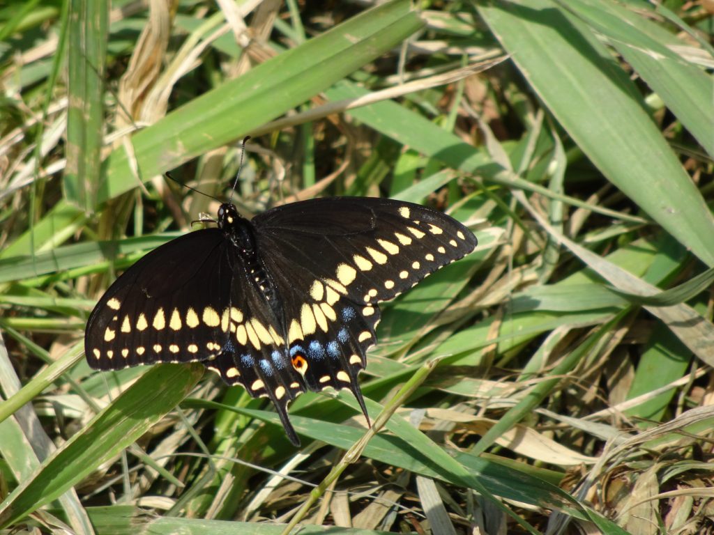
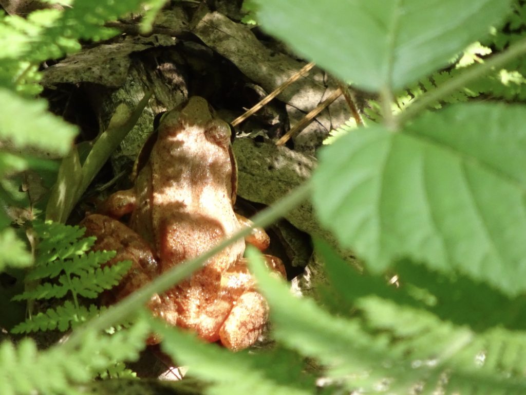
Other flora and fauna…

Yellow Pond Lily

Black Swallowtail Butterfly (male)

Wood Frog

Red Squirrel munching on a mushroom

Next stop for me is New Hampshire, home of the White Mountains.  The Whites have a reputation for steep climbs, beautiful vistas, and crazy, unpredictable weather.  Mount Washington holds the record at 231 mph for the highest recorded wind speed not associated with a tropical cyclone.  I have my cold weather gear ready to go, but I am hoping for at least some fair weather as I pass through this mountain range.

If you’d like to receive an email when a new post is up on the blog, click the email icon on the bottom of the page to subscribe. Thanks for following!
Bennington, VT

My daughter, Shelby, and her husband, Julian, joined me for a week of hiking in Vermont.  I jumped off trail and took a zero day in Bennington, VT in order to meet up.  This turned out to be a stroke of luck as I thoroughly enjoyed the town.

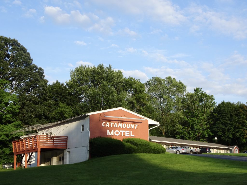
I stayed at the Catamount Motel which is a favorite amoung the thru hikers.  It is no-frills, but hiker-friendly.  They provide a free shuttle from the trailhead, do your laundry for $4, give you “loaner clothes” to wear, and don’t get upset when you hang your tent to dry outside your door.  The manager told me they rent to skiers in the winter and hikers in the summer.  He said the hiker business dominates, accounting for 1300 room bookings a year.


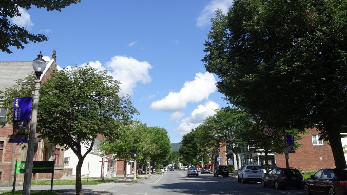
There was a lot to like about Bennington.  The downtown retains a traditional feel, with the strip malls and such being located a couple of miles outside of town.  They have a shuttle bus service which for fifty cents took me out to Walmart to do my resupply.

The town is an accommodating place.  Traffic will stop to let you cross the street even where there is no crosswalk.  There are lots of parking spaces on the street with no parking meters anywhere to be found.  One day I stopped at the visitor center to ask the best place to leave our car for a week while we hiked.  The guy said to check at the town office next door where he thought they would take our license plate and let us park in their municipal lot.  But, he said, “If that doesn’t work out, just park in our lot behind our building.”

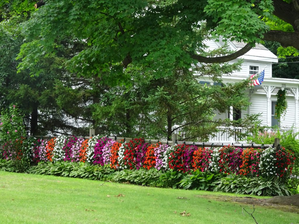
The residents seem to take a lot of pride in their homes.  There were some impressive flower gardens.

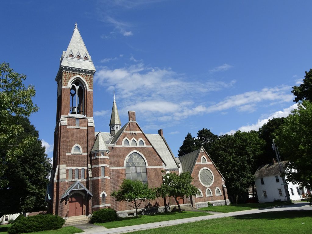
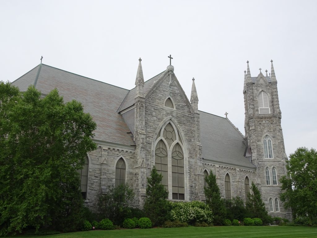
There were several pretty churches in the downtown area.

First Baptist Church

Sacred Heart St. Francis de Sales Church

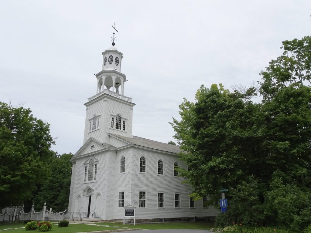
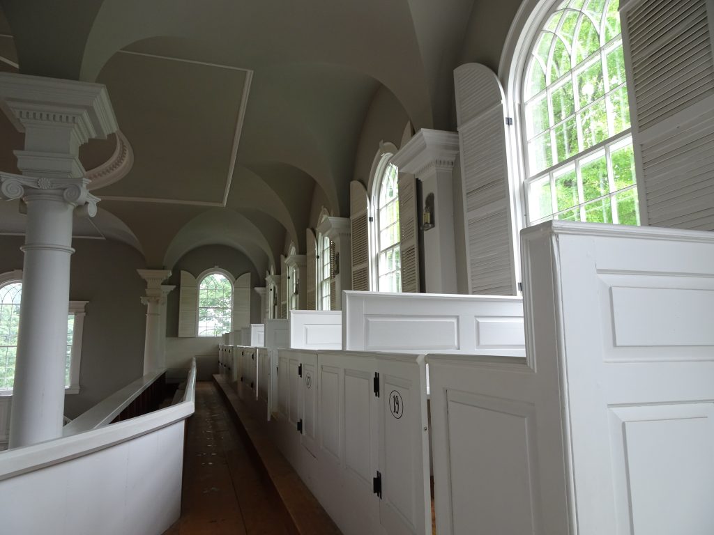
My favorite church was “The Old First Church”, built in 1805, which sits at the top of the hill in the center of Old Bennington.  I have seen some awe-inspiring churches like the cathedrals in Burgos and Leon, but nothing with the elegance and simplicity of this church.

The Old First Church

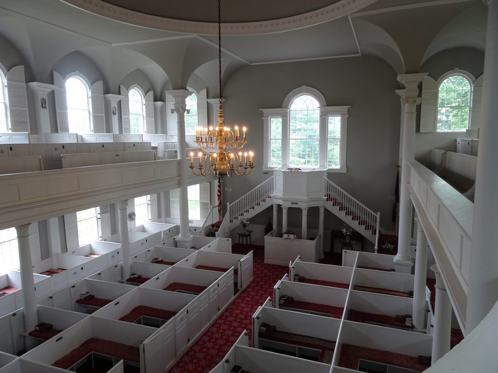
They hold Sunday services at the church, but it is open to visitors during the week.  A unique feature is the boxed seats, which are present both in the main level and the balcony.  According to my guide, the boxes are not assigned, but being creatures of habit, people tend to occupy the same boxes each week.  This sounds no different than in any other church I have attended.

Inside The Old First Church

Boxes on the upper level

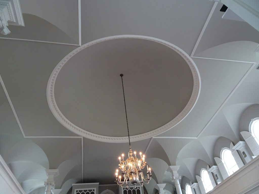
Reflecting its Puritan influence, there are no stained glass windows and little decoration.  The church contains but one cross, which is formed by the ceiling moldings.

The Cross

The church construction shows great attention to detail.  The doors on the boxes have narrower hinges at the top so they swing level even though the aisle is sloped.  Wider clapboard was used on the upper sections of the exterior so that when viewed from the ground, the siding appears to have uniform width.

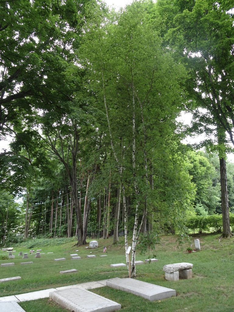
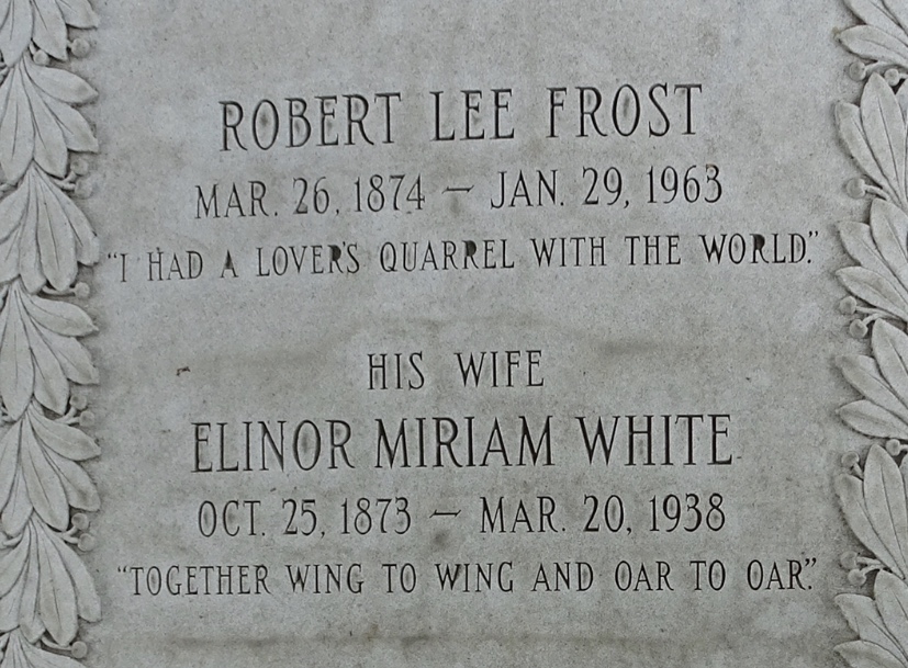
In the church cemetery, I visited the grave of Robert Frost.  Next to the burial plot is a stand of birches and a plaque containing his poem In a Disused Graveyard.

Robert Frost Gravesite

Epitaphs

In a Disused Graveyard

The living come with grassy tread
To read the gravestones on the hill;
The graveyard draws the living still,
But never anymore the dead.
The verses in it say and say:
“The ones who living come today
To read the stones and go away
Tomorrow dead will come to stay.”
So sure of death the marbles rhyme,
Yet can’t help marking all the time
How no one dead will seem to come.
What is it men are shrinking from?
It would be easy to be clever
And tell the stones: Men hate to die
And have stopped dying now forever.
I think they would believe the lie.

– ROBERT FROST

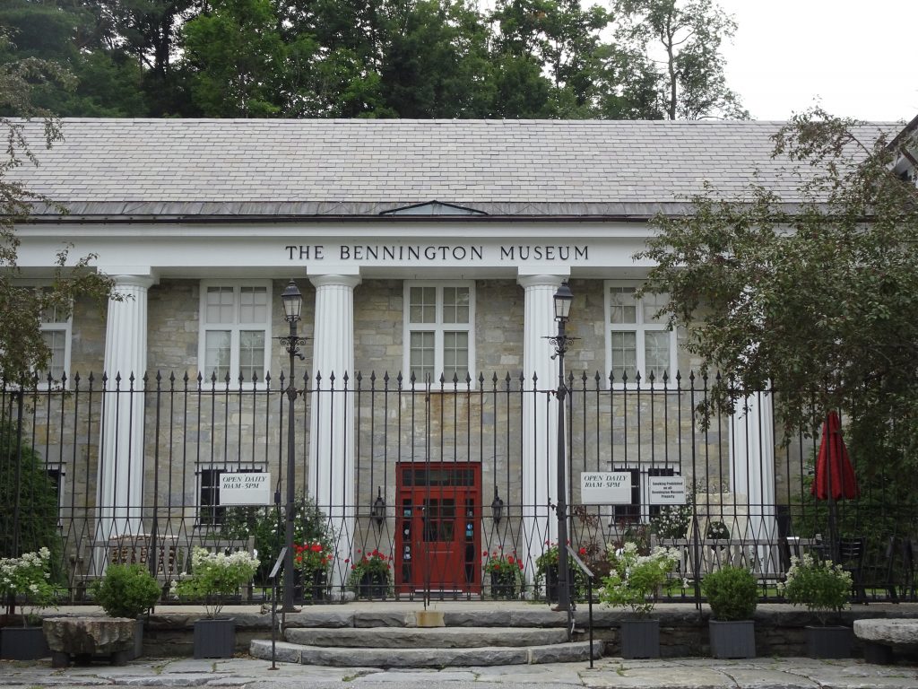
I also paid a visit to the Bennington Museum which is the home of the Grandma Moses Gallery.  The gallery contains largest public collection of the artist’s paintings.

Bennington Museum

Grandma Moses did not start painting until she was in her seventies, but would go on to crank out more than 1,500 canvases.  In her early days, she sold her paintings for $3 to $5.  She was unknown until some art collector saw her work in a drugstore window and bought their entire stock.  Three of her paintings soon ended up in New York’s Museum of Modern Art in an exhibition entitled “Contemporary Unknown American Painters”, and the rest is history.  Grandma Moses would become a cultural icon with her paintings showing up in such places as Hallmark greeting cards.  In her later years, she could fetch $8,000 to $10,000 for a painting.

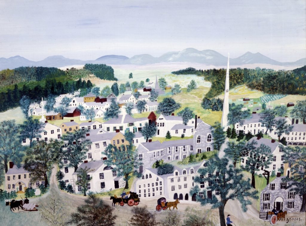
Here is one of the paintings the museum had on display.  (No photography was allowed in the gallery, so I snagged this image off the web.)

Grandma Moses – ‘Bennington’

The placard by the painting said that the horse and buggies should have been automobiles to match the period, and that the monument and the buildings are not really visible from a single vantage point.  Rather than being flaws, explained the placard, the painting was a juxtaposition of places and times (or something to that effect).  Yeah, whatever.  It’s a nice painting.

Now that I am advancing in age, it is nice to see that people will cut you a little slack when you are old.  And Nancy, there is yet still hope for you to become a famous watercolor artist.  Or a potter…

If you’d like to receive an email when a new post is up on the blog, click the email icon on the bottom of the page to subscribe. Thanks for following!
« Older posts Newer posts »

© 2024 My Thru Hike

Theme by Anders NorenUp ↑