Or, There and Back Again

Year: 2018 (Page 7 of 10)

Ridges of Virginia

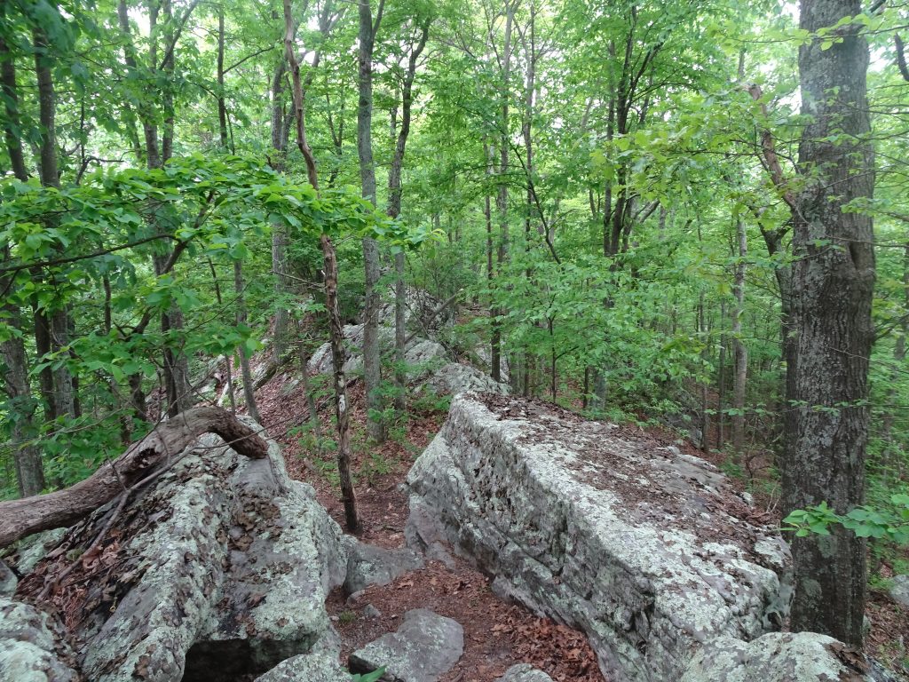
The past week has been spent hiking on the ridges of Virginia.  Rather than a series of domes, the Virginia mountains have more of a ridge-like character.  The trail generally follows the spine of the ridge.  On each side is a grassy green valley with another ridge behind it.

I have a love-hate relationship with these sections of trail.  Sometimes after hours of picking my way around and over boulders, I am thinking, “When will these rocks ever end?”
In other places, the ridge top might be a grassy forest road with views into the valley through the trees.  Stolling through these sections while taking in the scenery, I think, “Wow!  This is what the AT is all about.”
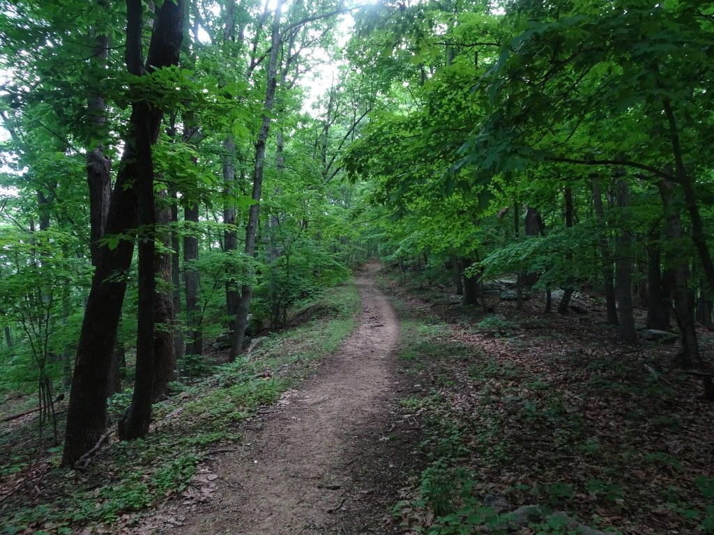
Clear Sailing

Often when hiking in the “green tunnel”, I have little perspective on where I am going.  Only when I look back do I see where the trail has taken me.
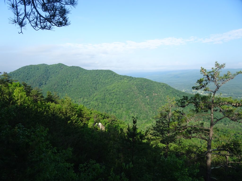
Looking back at where I’ve been

The rock formation, known as “Dragon’s Tooth”, is a popular day hiker destination.  It looked not too difficult to climb it from the back side to perch oneself on the top of the tooth.  I was considering this when I remembered Nancy’s words, “In all situations, ask yourself, what would Nancy do?”  I mentioned this to another hiker.  She said my motto should be WWND.
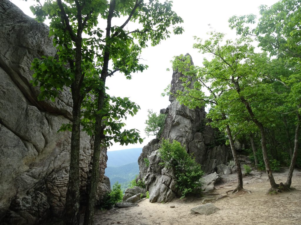
Dragon’s Tooth

The trail also took me to the summit of McAfee Knob and skirted Tinker Cliffs.  These two points of interest, along with the Dragon’s Tooth are called the Triple Crown by Virginia hikers.
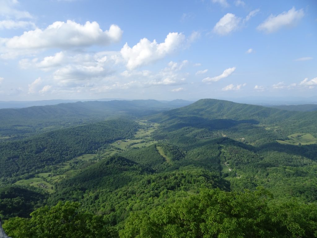
View from McAfee Knob
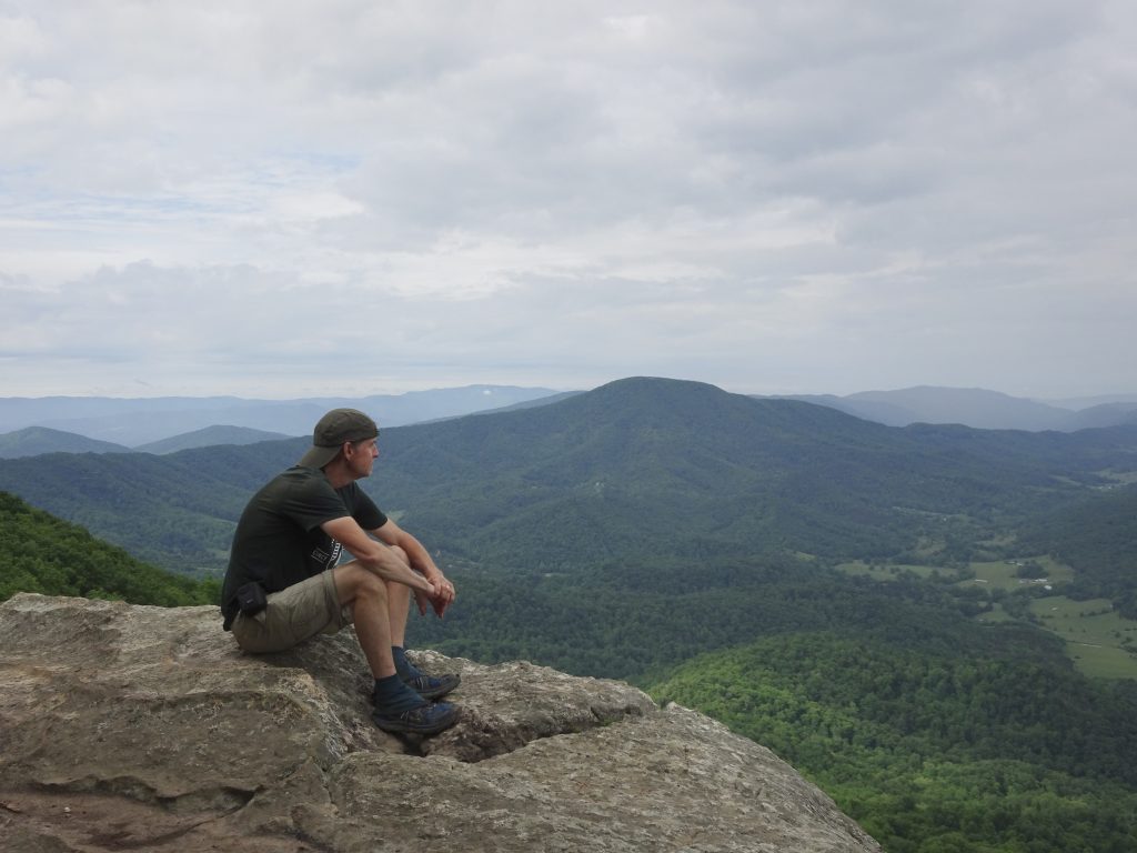
Looking back at McAfee Knob from Tinker Cliffs

A big source of controversy in this area of Virginia is the Mountain Valley Pipeline.  For a couple of years, I had been hearing about this natural gas pipeline which will actually cross under the trail at one point.  I did not expect it to be “a thing” out on the trail.  Before leaving Pearisburg, I read in the Roanoke Times about two women (one named Fern, the other named Nutty) who were camped on rope-suspended wood platforms blocking the drillers.  The authorities have apparently been trying unsuccessfully to starve them out by arresting anyone who tries to bring them supplies.

No sooner had I hit the trail out of Pearisburg than I ran into a Forest Service ranger.  He politely told me, in effect, to stay on the trail and mind my own business.  The reason for this became clear when I came open a colorful sign, and a few miles later, police tape.
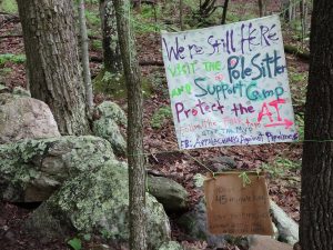
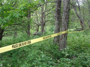
This is part of a bigger battle between the petroleum interests and the environmental folks would want to stop fracking and reduce fossil fuel consumption.  The AT is just the poster child.  After all, who doesn’t like a trail?  As a thru hiker, my selfish view is that the pipeline would not much diminish my experience as I am already passing under power lines nearly every day.  As a local person who will now have to look up at a new stripe down the mountain, I am sure I would feel quite differently.

I have seen a few turtles along the trail.  Here is a very colorful box turtle I saw in  a cow pasture.
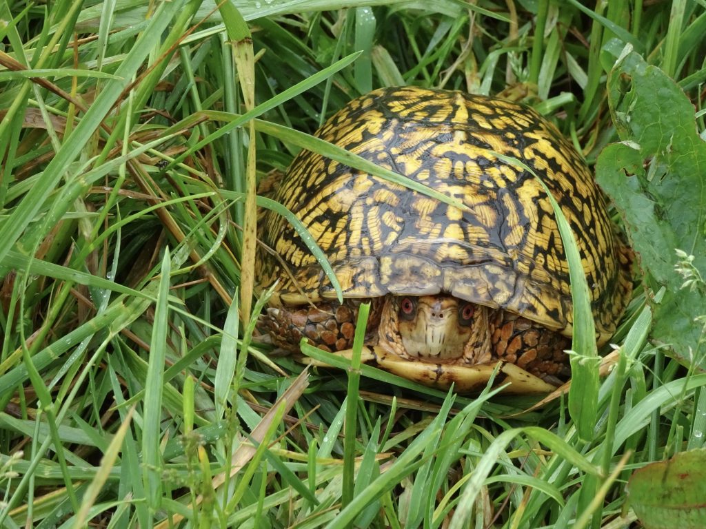
Woodland Box Turtle

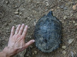
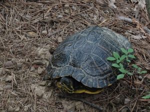
Just the other day, I saw this very large turtle right on the path of the trail.  He’s too large to be a box turtle.  After some Googling, I suspect this is a turtle called a Cooter.  Cooters are aquatic turtles, but there was a stream within a few hundred yards.
This past week, the mountain laurel has come into full bloom.  The laurel grow in large splashy groves, but are most beautiful when viewed closely.  Most are predominantly white, but some shade towards pink.
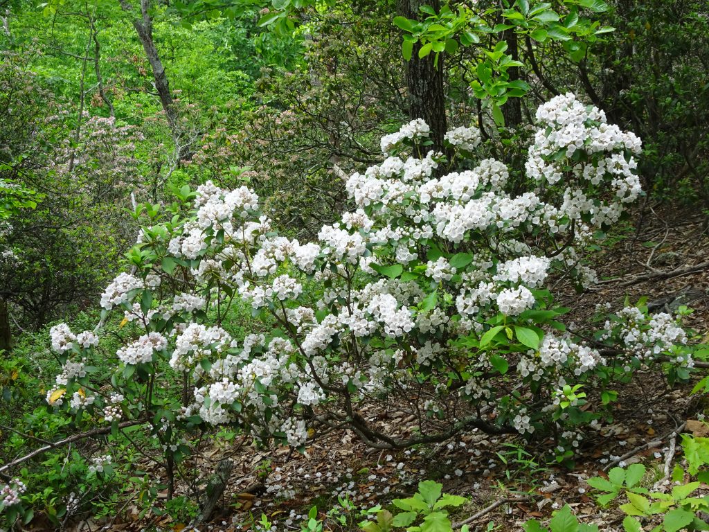
Mountain Laurel
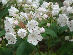
Up Close
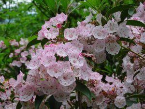
Pink Variety

On the birding and lepidopterology front…
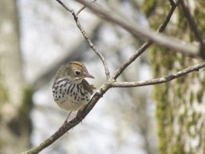
Wood Thrush
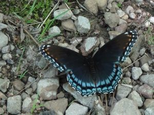
Red-spotted Purple

If you’d like to receive an email when a new post is up on the blog, click the email icon on the bottom of the page to subscribe. Thanks for following!

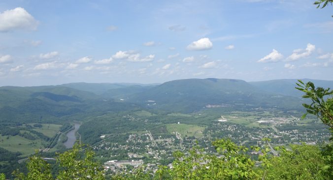
Pearisburg, VA

I rolled into Pearisburg last evening and am staying at a hostel called Angels Rest Hiker Haven. The hostel’s van picked me up at the trailhead, “just like Enterprise”, as they put it.  I decided to take a rest day today (“take a zero”, in hiker slang), to rest up and let my feet heal up from hiking five straight days in wet shoes and socks.  Yesterday, I felt a little like a hiking robot walking on rocky trail with sore feet.  This will be my first zero since Hot Springs.

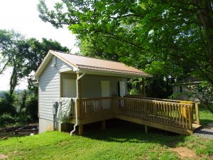
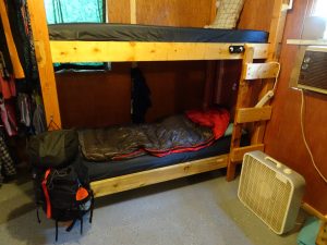
Pearisburg is a nice small town with everything a hiker could want – a Mexican restaurant, a Chinese restaurant, a Food Lion, and a hiker shop.  The folks in the hiker shop seemed very proud of their state and talked enthusiastically about all the things I can expect to see up the trail.  My hostel is the Cadillac of hostels, compared to most others I have stayed at.  It features a three-shower bath house with modern plumbing, two kitchens, a common area, a laundry room, and bunks each with their own electrical outlets.

Bath House (My tent drying on the railing)

Randy’s Bunk

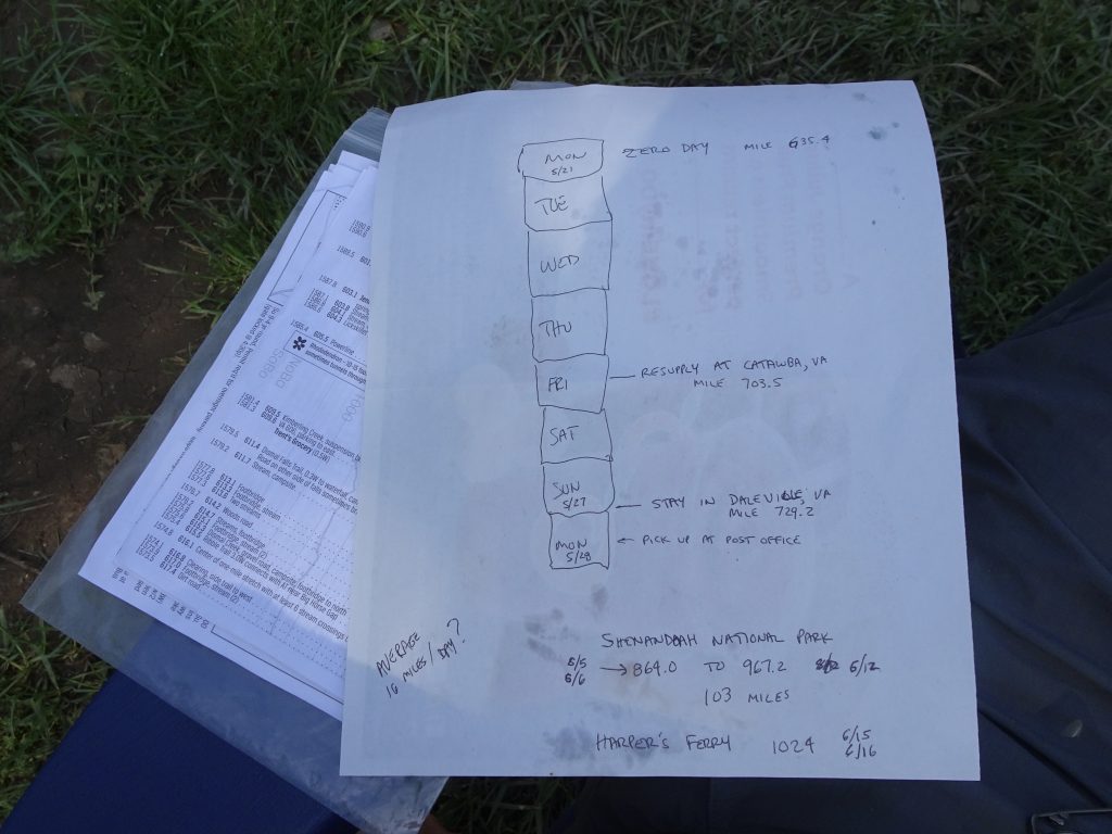
In addition to resting my feet, I have been able to do some chores like laundry, backflushing my water filter, drying my gear, and buying food.  In order to figure out how much food to carry, I study my trail guide and figure out where my next resupply points will be.  Here is my high tech planning sheet.

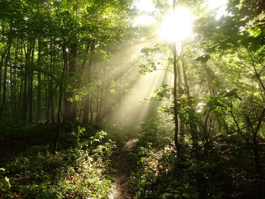
The weather seems to be improving.  The last few days have had morning sun with afternoon showers, a big improvement over all day rain.  After the rains, the morning sun gives a rain forest-like feel to the trail.

Morning Mist

View from Sugar Run Mountain (Fog in the Wilburn Valley)

I had an interesting encounter on the trail the other day.  It was about 8 AM and lightly drizzling.  I had just hiked down about 1000 feet from the ridge where I had camped to a road crossing.  At the crossing was an old guy in a pack and rain poncho.  He asked if I had cell service, which I didn’t.  He explained that he was wet and cold and needed to get off trail to dry out but could not reach his shuttle.  He said, “I’m Pappy.  I am the oldest guy out here.  I’m 87.”  I told him I had cell service the previous night up on the ridge, and since I would be heading up the ridge again, should I try calling for him from up on the ridge.  He said yes, and told me, “Tell the shuttle driver (Bubba) it’s Pappy.  He knows me.  Tell him, ‘It’s a desperate situation’.”

I am not sure how desperate it really was.  He didn’t seem hypothermic to me.  But off I went, busting it up the ridge.  About halfway up, I got cell service.  I was relieved when Bubba answered his phone “Yeah?” (the typical greeting for shuttle drivers out here) and agreed to go fetch Pappy.  If I couldn’t get a shuttle, I would have had to hike back down.  I am not sure what my plan would have been, but I couldn’t leave Pappy at the trail head waiting for a ride that would never come.  I had heard folks mention Pappy before, but it turns out he is somewhat of a trail celebrity.  If you want to find out more about Pappy, check out 87-Year-Old Pappy Attempting to Become the Oldest Appalachian Trail Thru-Hiker.

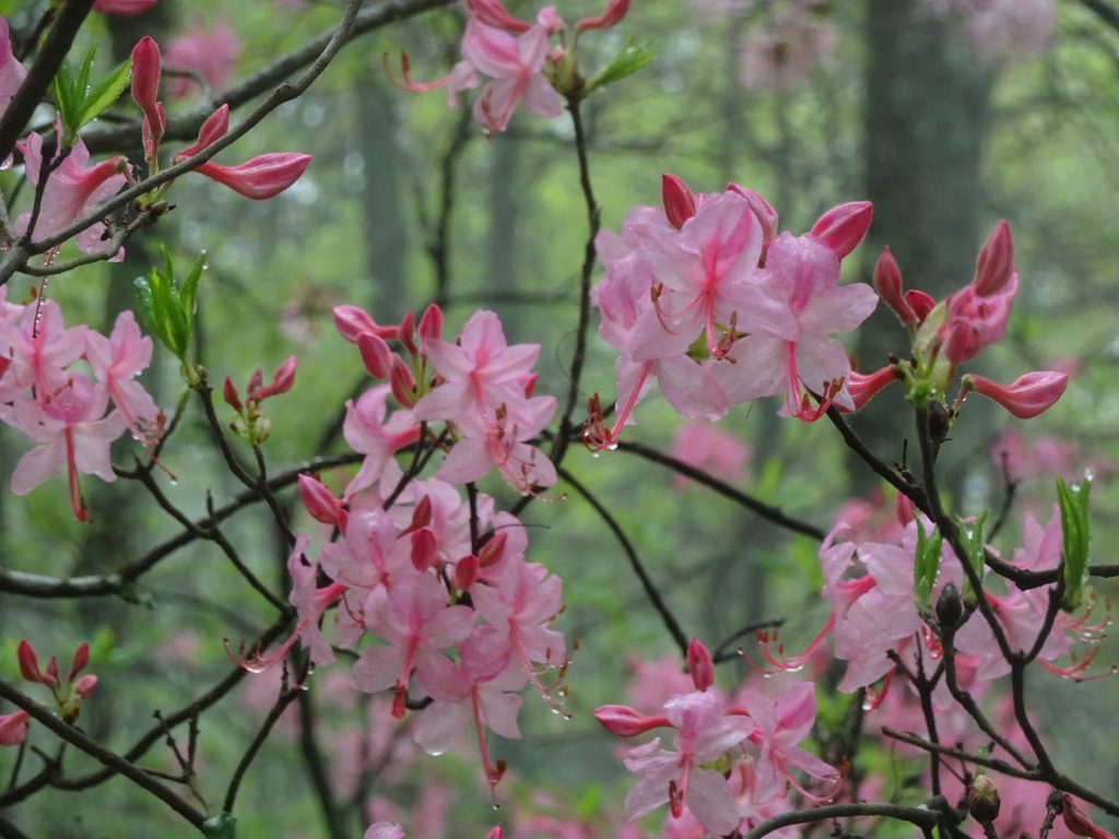
I am starting to see some of the pink azaleas that I have heard about.  So far, I have seen orange, yellow, and pink azaleas.  The hiker shop people said that the rhododendrons and mountain laurel have yet to put on their show, so I have something to look foreword to.

Pink Azaleas (also called “pinxters”)

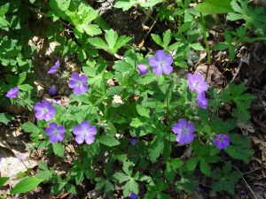
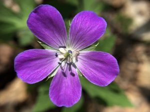
For hundreds of miles now, I have been seeing wild geraniums.  These wildflowers seem to be particular about elevation, so they come and go as I go up and down the mountains.

Wild Geranium

Wild Geranium petals

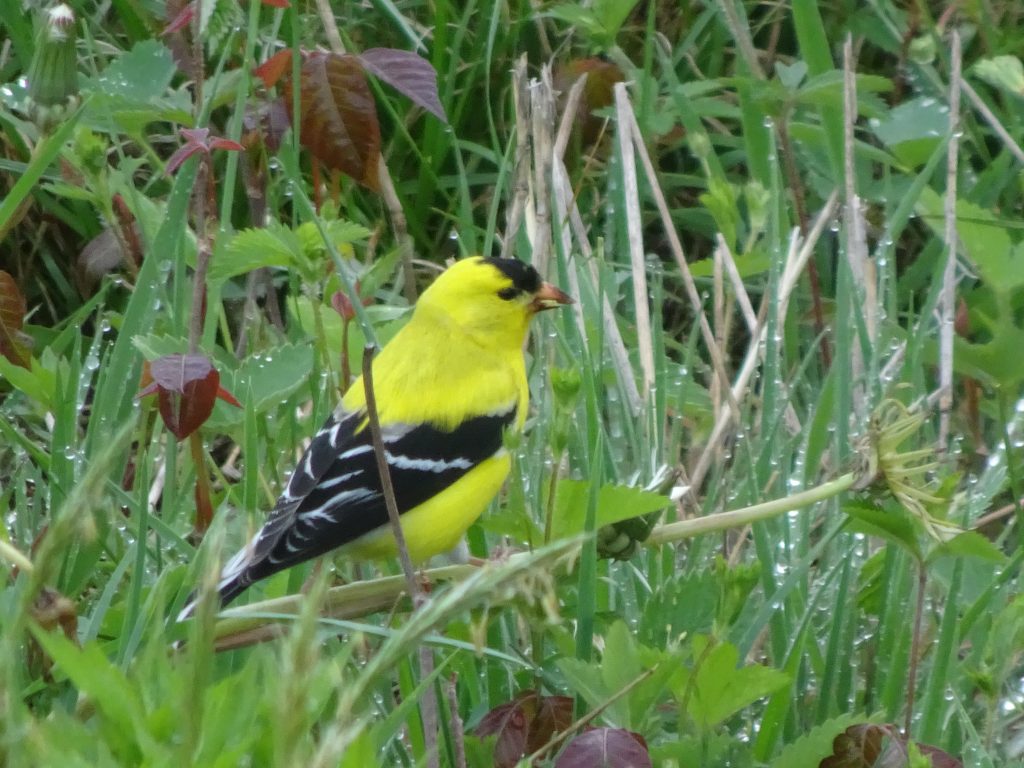
The birding has been slow with all the rainy days, but I did get this pic of a male goldfinch feeding in a meadow.

American Goldfinch

If you’d like to receive an email when a new post is up on the blog, click the email icon on the bottom of the page to subscribe. Thanks for following!
Health Check

Having now hiked some 590 miles, over one quarter of the trail’s length, I thought it is a good time to take stock of my health and well-being out here on the trail.  I harken back to the day I headed out on the trail from Amicalola Falls State Park in Georgia. As is recommended by the Appalachian Trail Conservancy, I attended the hiker orientation session. The ranger proceeded to explain all the woes that I was likely to encounter during my hike. These included a compromised immune system, norovirus, Rocky Mountain spotted fever, Lyme disease, drastic weight loss, relationship problems with people back home, ticks embedded in my flesh, insect bites, poison ivy, hypothermia, heat stroke, sunburn, homesickness, chronic blisters, knee problems, plantar fasciitis, strained Achilles tendon, rattlesnake bites, copperhead bites, tree branch falling on my tent, and of course, the dreaded bear attack. And so on. By the end of the talk, I was thinking, “Good God!l What have I gotten myself into? I don’t even have moleskin for my blisters. I have no tick removal tweezers! Why did I even leave my house?”

As it turns out, very few of these things have so far befallen me.  Other than some minor blisters, I have had no issues.  My knees feel good. My feet get a little sore after a long day of walking on rocks, but usually feel better by the next morning.  I have had two falls so far, both of the mild variety.  One fall was a slip in the mud, the other on a slick rock.  One concern I had was how well I would sleep on my 2.5 inch thick inflatable pad. The first few days, I tossed and turned, but now am sleeping comfortably with no backache.

Morale-wise, I’m doing well, although I do miss my family and friends, (and of course, my loyal dog, Riley.)  I don’t get bored, and manage to keep myself occupied with my birding and photography.  I’ve never once thought about quitting.

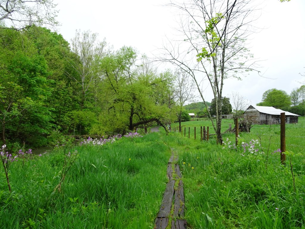
I am enjoying the scenery so far in southwest Virginia.  The meadows and cow pastures are a welcome addition, and provide additional habitat to see different birds.  It is getting increasingly difficult to see birds in the forest now that the trees are getting their leaves.

Dairy Farm along the trail

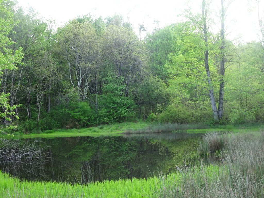
Pond on Chestnut Ridge

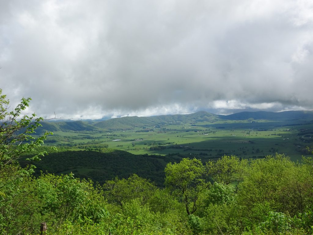
While admiring this view from Chestnut Knob, another hiker commented, “That looks like The Shire down there.”  This was without me mentioning that my trail name was Bilbo.  (For those not in the know, The Shire is Bilbo’s home in The Hobbit.)

View from Chestnut Knob Shelter

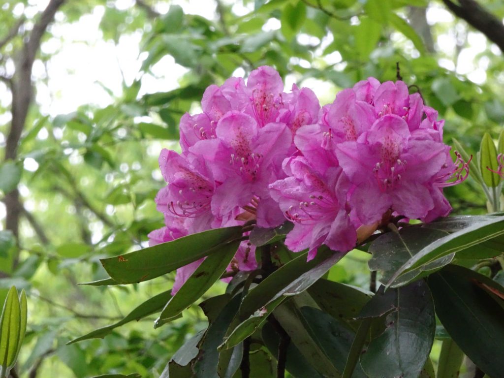
The flowering shrubs are currently stealing the show along the trail, although I think the best is yet to come.  There are many more shrubs that have yet to bloom.  If they all bloomed together, there would not be enough bees to go around!

Catawba Rhododendron

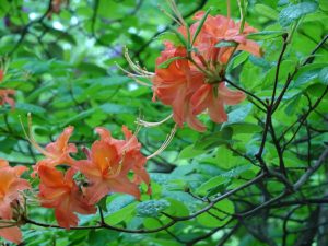
Flame Azalea

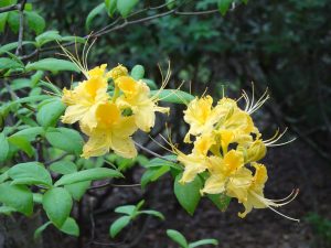
Yellow Azalea

For the past several days, Virginia has been stuck in a rainy weather pattern, with the forecast predicting it continue for a few more days.  The past two nights I have tent-camped in the rain.  Tonight, I am staying in a shelter.  I rolled into the shelter today at 1:30 PM after only hiking 11 miles.  This goes against the grain since I like to make maximum use of my trail time.  With the next shelter too far, and considering that it was raining, my feet were waterlogged, the trail was a swamp, and my gear was wet, I reluctantly stopped.

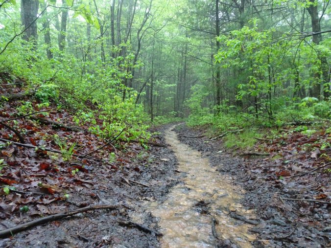
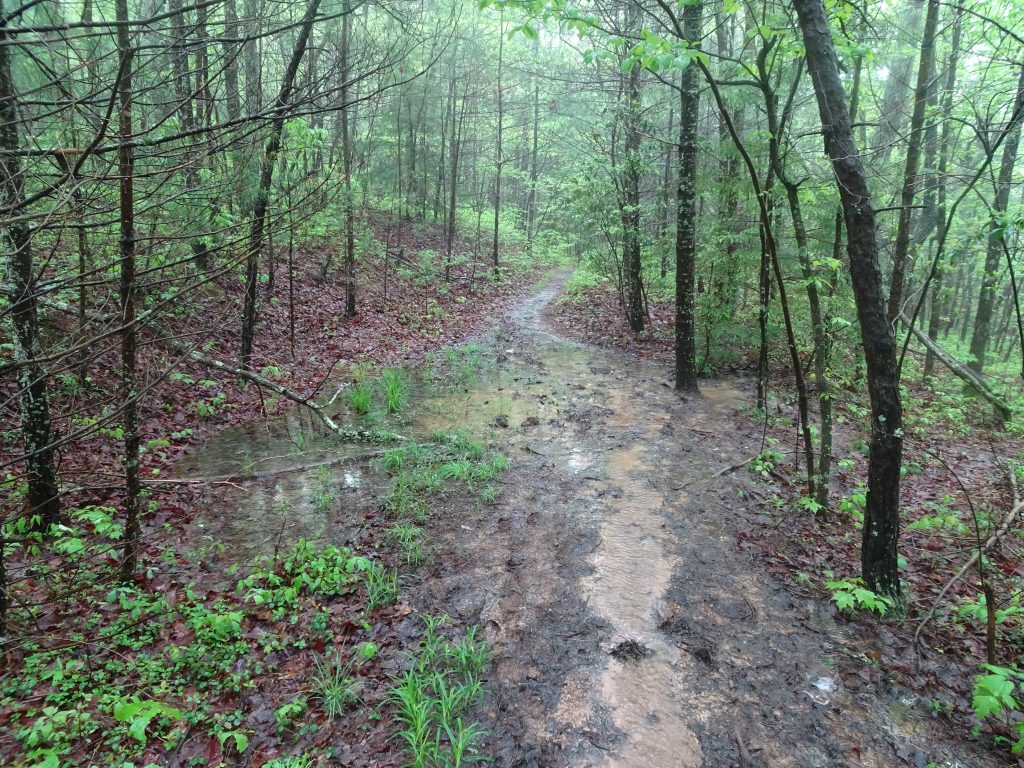
Here is what the trail looks like after three days of rain.  The soil on the trail, being most humus, drains extremely well.  After a few dry hours, it looks much better. After a day, you’d hardly know it rained.

Water on the trail

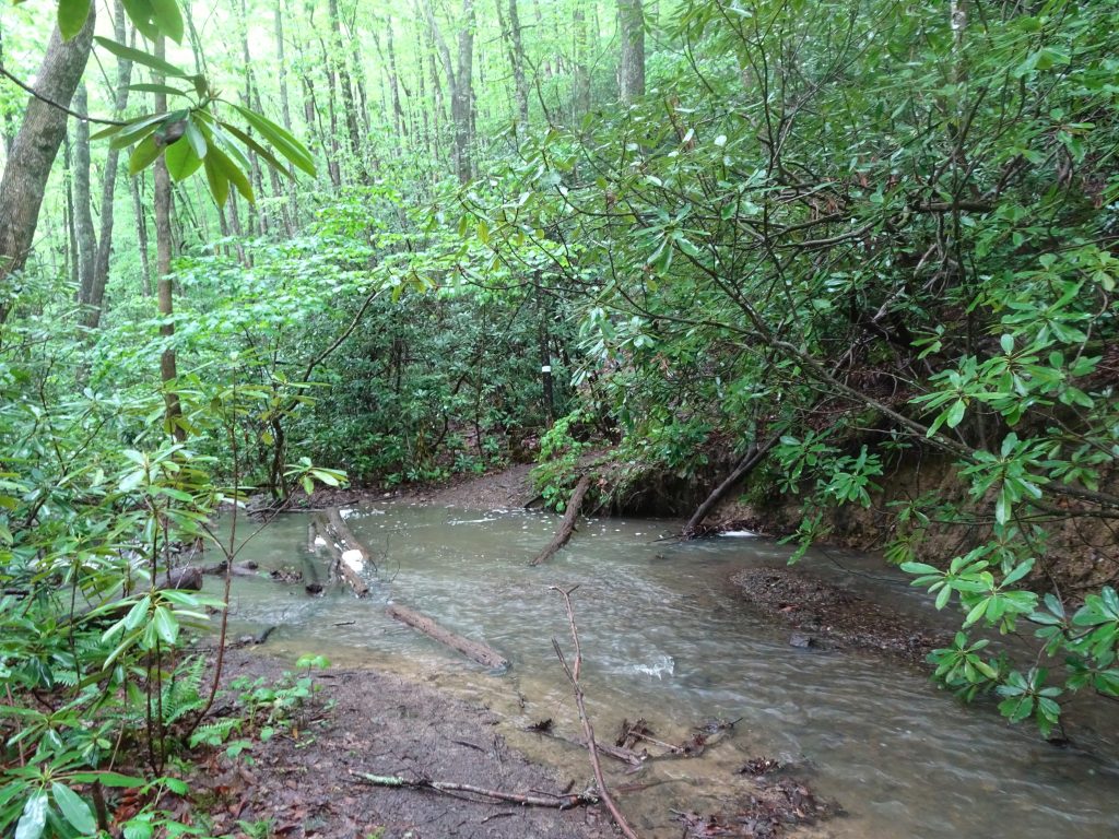
Got my feet wet crossing this one

I ended up bagging my plan to go to Trail Days.  This was partly due to the logistics of getting back and forth to Damascus, but mostly due to the weather forecast which is predicting rain through the weekend.  I was picturing myself tent-camping two nights in “hiker village”, then returning to the trail like a wet rat.  I have some life experience with mass camping in muddy fields at car races and such, and the memory is not favorable.  Perhaps I will attend next year as a hiker alumnus and stay in a B&B like a civilized person.  So back to “Plan A” – put my head down and hike north.  There is a trail town called Pearisburg, VA about two and a half days away which will be my next shower and resupply.

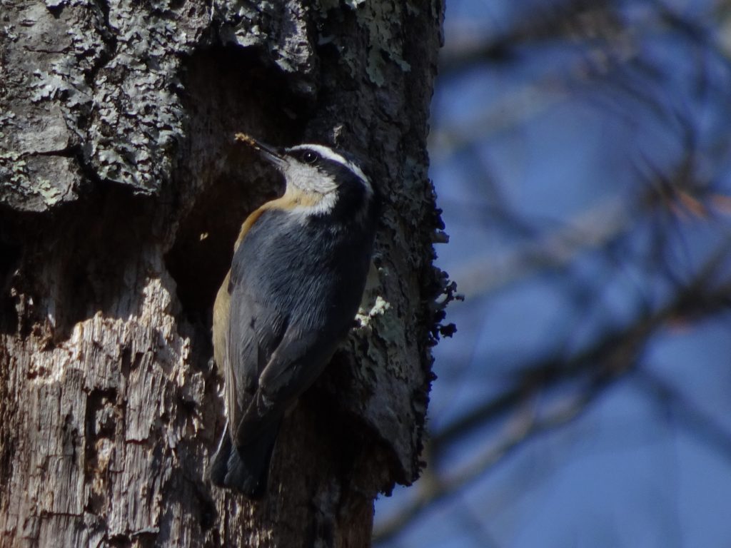
I mananged to capture a photo of this nuthatch the other day.  The bird appeared to be feeding its young, as it kept darting its head into the hole in the tree.

Red-breasted Nuthatch

Nothing to report on the Lepidoptera front.  I am hoping that with warmer (and sunnier!) weather, I will see more butterflies and moths .

If you’d like to receive an email when a new post is up on the blog, click the email icon on the bottom of the page to subscribe. Thanks for following!
« Older posts Newer posts »

© 2025 My Thru Hike

Theme by Anders NorenUp ↑