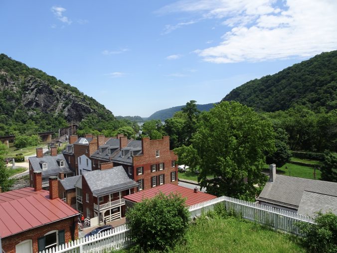
Harpers Ferry, home of the Appalachian Trail Conservancy headquarters, is ground zero for the AT thru-hiking community. Northbounders from Georgia and southbounders from Maine converge on this town. It is also the starting point for “flip-floppers” who hike from Harpers Ferry to Maine, and then Harpers Ferry to Georgia. Most people regard the town as the “psychological halfway point” of the trail even though the actual midpoint is about 70 miles further north. The ATC staff told me roughly half of the thru hikers make it this far, and of these, about half will make it all the way.
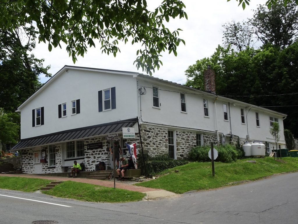
Appalachian Trail Conservancy Headquarters
All AT thru hikers are asked to check in at the headquarters. There the staff takes your picture next to their sign. After you add your relevant data to your picture card, it is inserted into their notebook for posterity.
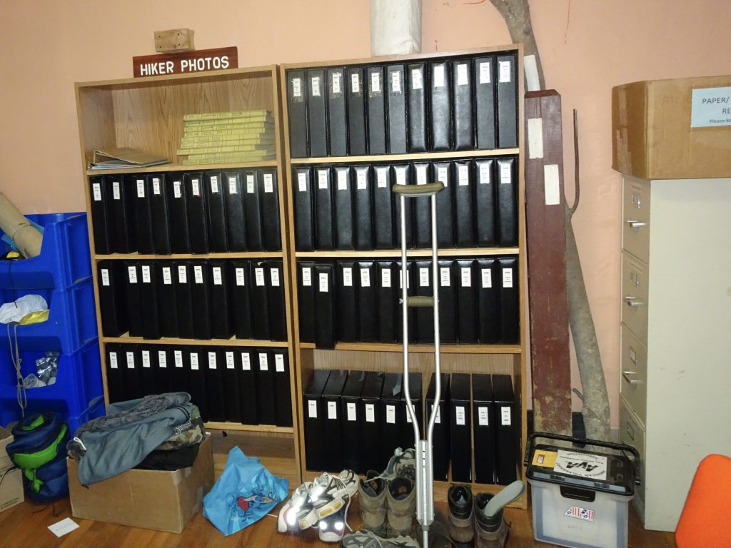
The Hiker Archive
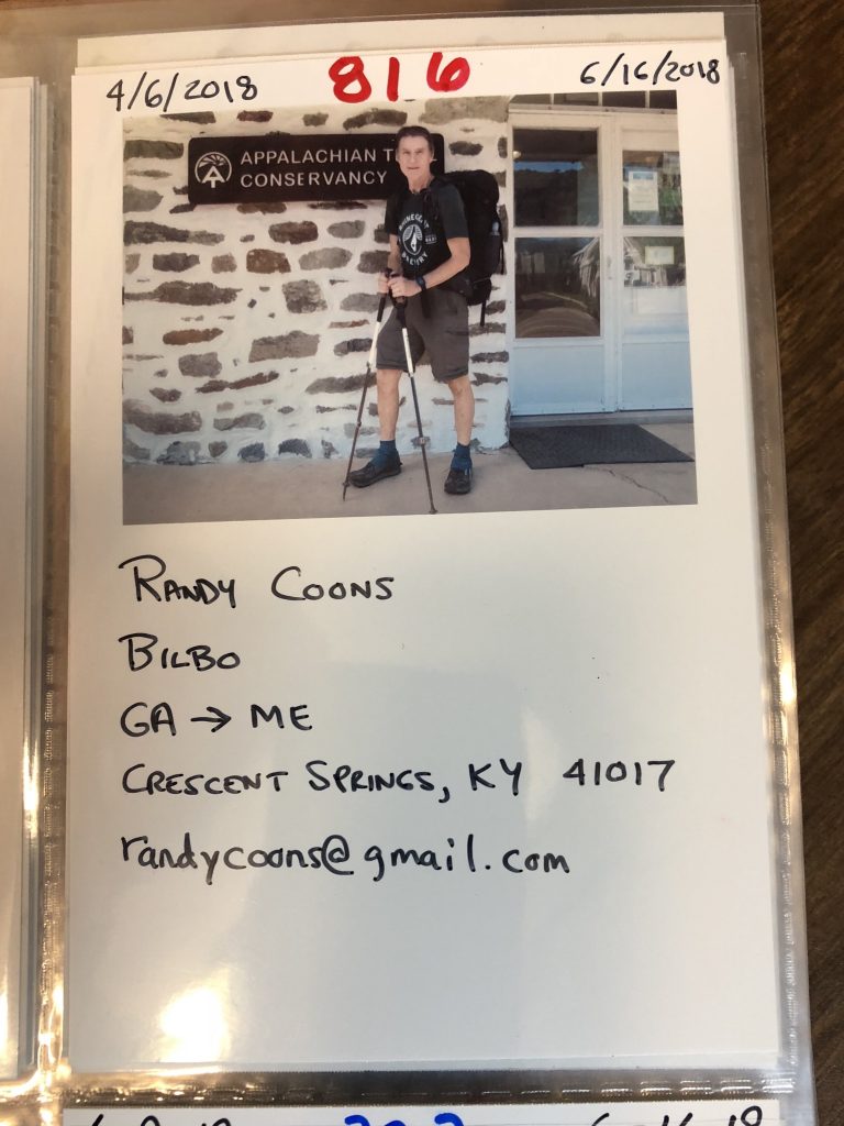
Bilbo – Northbounder number 816 to reach Harpers Ferry
Harpers Ferry has a rich history. During the Civil War, the town was coveted for its strategic location at the confluence of the Potomac and Shenandoah rivers. Over the course of the war, Harpers Ferry changed hands eight times between the Union and the Confederate armies. Prior to the war, abolitionist John Brown had conducted his famous raid on the town’s US arsenal in a failed attempt to instigate an armed slave revolt.
Leading into Harpers Ferry, I hit a couple of milestones. One notable event was reaching the 1000-mile mark.
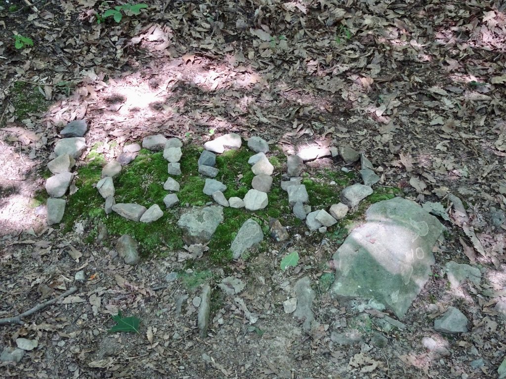
1000-Mile Mark
The other milestone was leaving Virginia after hiking 554 miles across the state.
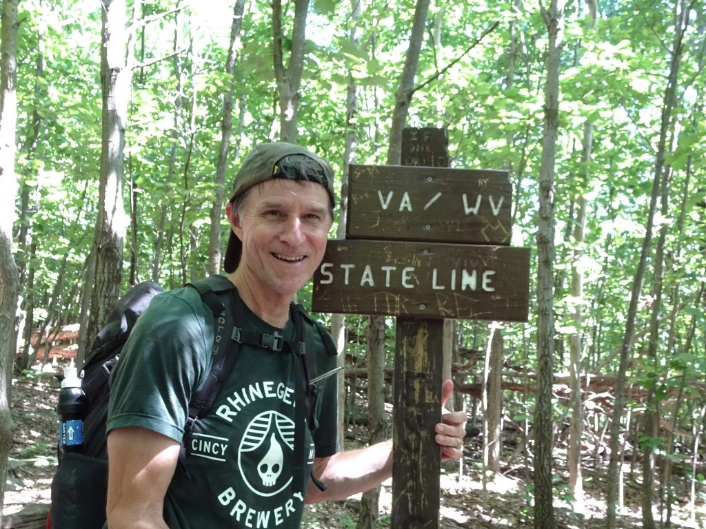
Goodbye to Virginia
The final obstacle to hiking out of Virginia is “The Roller Coaster”. Covering 14 miles, the Roller Coaster has ten climbs, totaling 4600 feet of ascent and 3900 feet of decent, I suspect the trail builders take some sinister pleasure in torturing hikers.
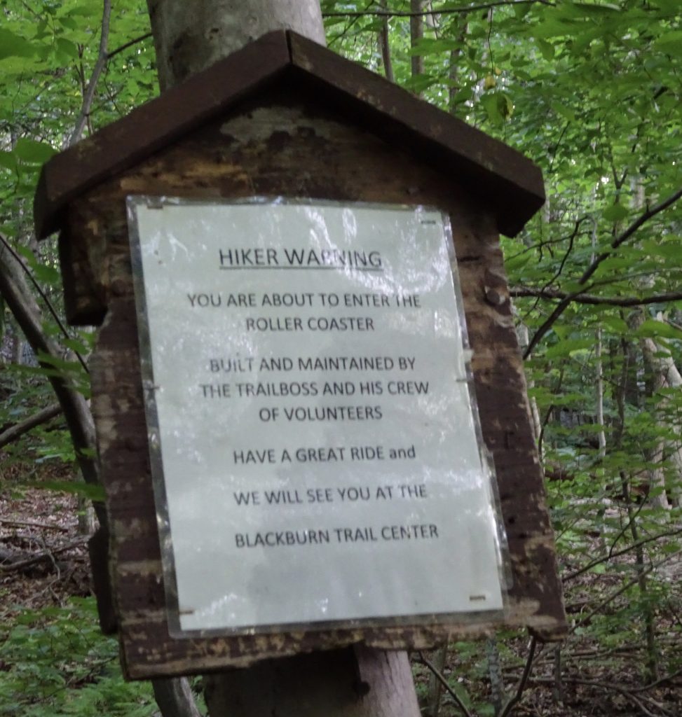
Sign at the start of the Roller Coaster
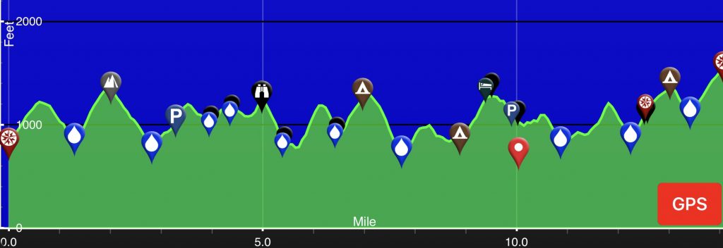
Elevation Profile
One bright spot on the Roller Coaster was some unexpected “trail magic” at the top of one of the climbs. Just sitting there along the trail with nobody around was a cooler of drinks and two boxes of donuts. As God as my witness, I only ate one donut. I could easily have snarfed down a whole box.
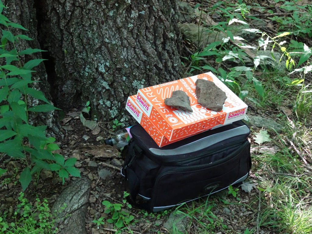
Trail Magic
Amtrak has a daily run between Harpers Ferry and DC which is really convenient. I took advantage of this to make a side trip into DC to see my sister, Roberta, and her husband, Phil. My overnight visit flew by quickly, but it was really great to see them.
The trail out of Harpers Ferry crosses the Potomac via a railroad bridge pedestrian walkway then takes a right turn onto the old C & O Canal towpath. As I hiked down the towpath, it dawned on me that once before I had been on this very same section of towpath. In 2007, I ran an ultramarathon called the JFK 50 Mile. The JFK 50 route covers 13 miles of the regular AT trail, 26 miles on towpath, and the balance on country roads. So here I was, eleven years later on the same route carrying a pack and going the opposite direction.
I recollect going into that race thinking the towpath section would be the easy part because it was “flat”. It must have escaped me that the towpath follows the river, and that rivers tend to run downhill. Come race day, I am out on the towpath, about 30 miles into the run and feeling worn out. I remember remarking to a fellow runner that I thought this towpath was supposed to be flat. I will never forget his reply. “Brother, every dang step of this thing is uphill.” That day, I learned a life lesson. When embarking on any major undertaking, don’t go into it with preconceived expections.
Some flora and fauna along the trail…

Orange Lily
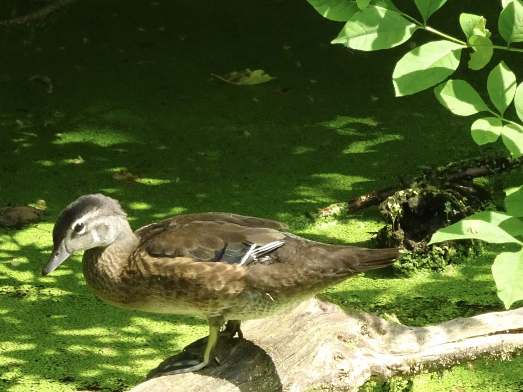
Wood Duck (Female)

Eastern Painted Turtle (covered in Duckweed)
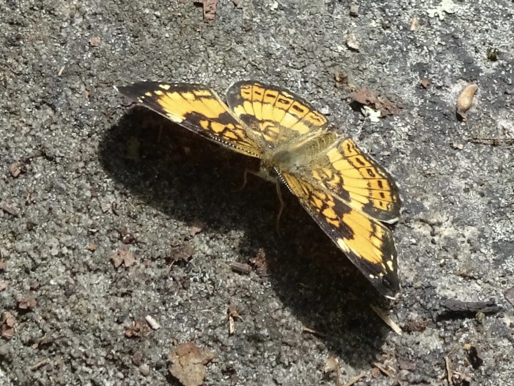
Pearl Crescent
If you’d like to receive an email when a new post is up on the blog, click the email icon on the bottom of the page to subscribe. Thanks for following!
