Or, There and Back Again

Month: June 2018 (Page 1 of 2)

Maryland

The Appalachian Trail traverses 40 miles of Maryland.  This is the shortest distance in any state other than West Virginia which makes up only four miles of the AT.  The trail in Maryland is relatively flat, following the ridge line.  The path varies from extremely smooth to extremely rocky, and everything in between.
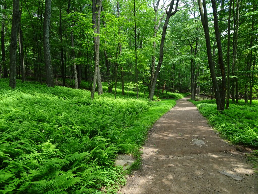
Like a walk in the park
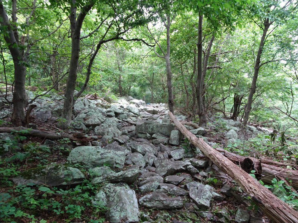
On the rocky side

As I walked the trail through Maryland, I could not help but become immersed in Civil War history.  I was in this exact place where Robert E. Lee conducted his “Maryland Campaign” in September of 1862.  Traversing the ridge of South Mountain, the trail crosses, in succession, Crampton’s Gap, Fox’s Gap, and Turner’s Gap.  It is in these three mountain passes that the Battle of South Mountain was fought. The Antietam battlefield lies less than ten miles distant.

As I read the diagrams and text on the park service plaques, I was struck by the level of detail with which historians could enumerate, practically on a minute-by-minute basis, the various decisions of the generals and the actions of the troops.  And yet, these these plaques don’t tell the whole story.  When it says “exhausted and outnumbered, the troops ‘withdrew’, leaving behind their dead, wounded, and captured”, I am envisioning soldiers running for their lives down the mountain.  I read where a farmer at Fox’s Gap was payed one dollar each to bury Confederate solders who died on his farm, sixty of which were thrown down his dry well.  This was a messy war.
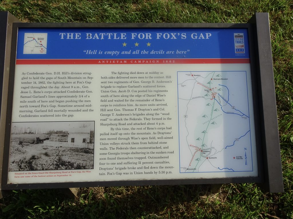
Civil War Plaque in Fox’s Gap

The life of an AT hiker is piece of cake compared to what the Civil War soldier endured.  With none of our modern high tech gear, those soldiers hiked across all kinds of terrain, in all kinds of weather, in poor footwear, while carrying all their belongings on their back.  And all that hiking just so they would be in a position to be ordered into harms way at a moments notice.

What puzzled me was why of all places would a battle be fought on South Mountain?  This led me to do some research.  Here’s the backstory, as I understand it.

The events that unfolded on this fateful day on South Mountain were part of a game of cat and mouse being played between the principal armies for the North and South – the Union Army of the Potomac under the command of George B. McClellan and the Confederate Army of Northern Virginia under the command of General Robert E. Lee.

In preparation for an invasion of Pennsylvania, General Lee hatched a plan to split his army into two parts.  He ordered part of his army, under the command of General Stonewall Jackson, to launch an attack at Harpers Ferry to capture the arsenal.  The rest of his army would be deployed to Boonsboro, Maryland under the command of Lee and General James Longstreet.  In a twist of fate, Lee’s orders were intercepted by the Union General McClellan. Seizing on the opportunity to attack a divided Confederate army, McClellan speed-marched the Union army 25 miles from Washington, DC towards South Mountain which must be crossed to get to Boonsboro.

The day was September 14, 1862.  As the Union army poured up the gaps, Lee and Longstreet deployed troops from Boonsboro to the gaps to repel the Union advance.  The battle raged through the day with both sides adding reinforcements.  By night fall, the Union has taken the high ground on the mountain and had driven the Confederates from Crampton’s Gap.  The Confederates still precariously controlled Fox’s and Turner’s Gaps.  The Union might have made further gains by pressing the battle, but, as one person observed, “a spirit of leisure seemed to pervade McClellan’s headquarters.”  (McClennan had a reputation of being overly cautious.  On several previous occasions he had not attacked, thinking he was outnumbered, when in reality he had the superior force.)  In the course of the battle, 768 soldiers had been killed, with an additional 3367 wounded.
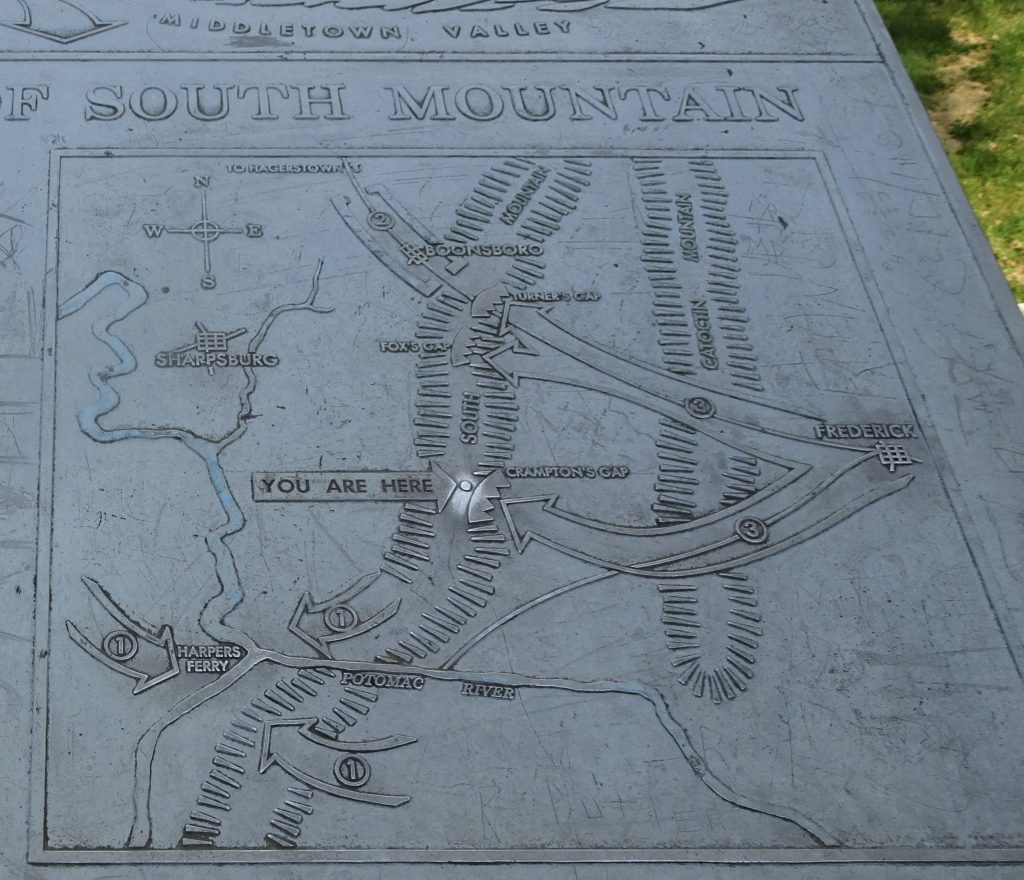
By the next morning, Lee withdrew his forces from the mountain and reconsolidated his army at Sharpsburg, with the Union declaring victory on the mountain.  Only a few days later, the two armies clashed at the Battle of Antietam.  This would be the bloodiest battle in US history, with 3675 soldiers killed and over 17,000 wounded.  Lee again withdrew his army from the battlefield and pulled back into Virginia.

Lincoln ordered McClellan to pursue Lee’s army into Virginia.  McClellan refused, citing all kinds of excuses.  After six weeks of back-and-forth, an exasperated Lincoln dismissed McClellan from his post. Lincoln and McClellan would become political archenemies.  McClellan won the Democratic nomination and ran against Lincoln in 1864, but lost in a landslide.

The AT in Maryland passes through a couple of state parks.  Hikers love parks because they usually have trash cans, water fountains, flush toilets, and if you are really lucky, a concession stand.  One of the the parks was the home of the “original” Washington Monument which sits near the summit of South Mountain’s Monument Knob.  Built in 1827 to honor George Washington, the monument was used by the Union army as a signaling station during the Civil War.
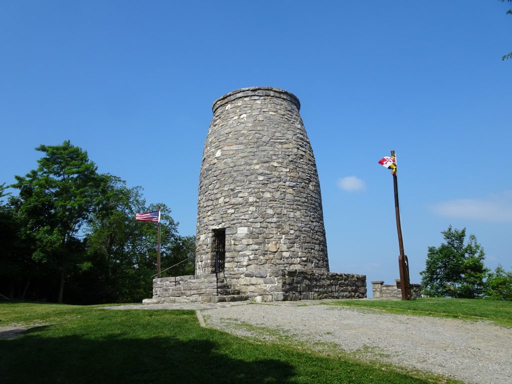
Washington Monument

Some flora and fauna from the trail…

Wild Rose

Brown Thrasher
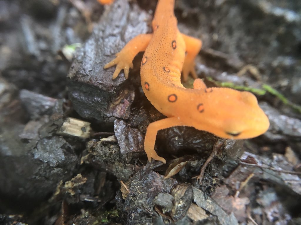
Juvenile Eastern (Red-Spotted) Newt

If you’d like to receive an email when a new post is up on the blog, click the email icon on the bottom of the page to subscribe. Thanks for following!
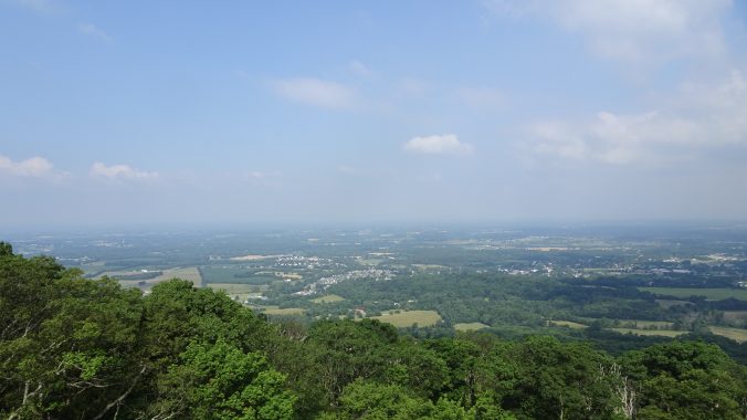
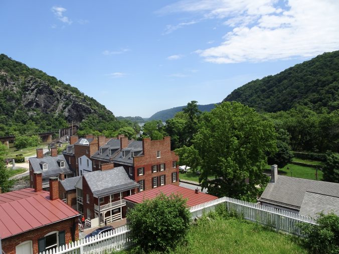
Harpers Ferry, WV

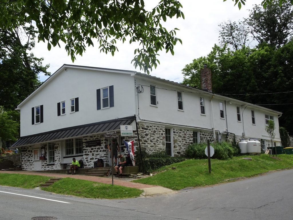
Harpers Ferry, home of the Appalachian Trail Conservancy headquarters, is ground zero for the AT thru-hiking community.  Northbounders from Georgia and southbounders from Maine converge on this town.  It is also the starting point for “flip-floppers” who hike from Harpers Ferry to Maine, and then Harpers Ferry to Georgia.  Most people regard the town as the “psychological halfway point” of the trail even though the actual midpoint is about 70 miles further north.  The ATC staff told me roughly half of the thru hikers make it this far, and of these, about half will make it all the way.

Appalachian Trail Conservancy Headquarters

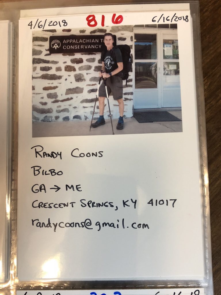
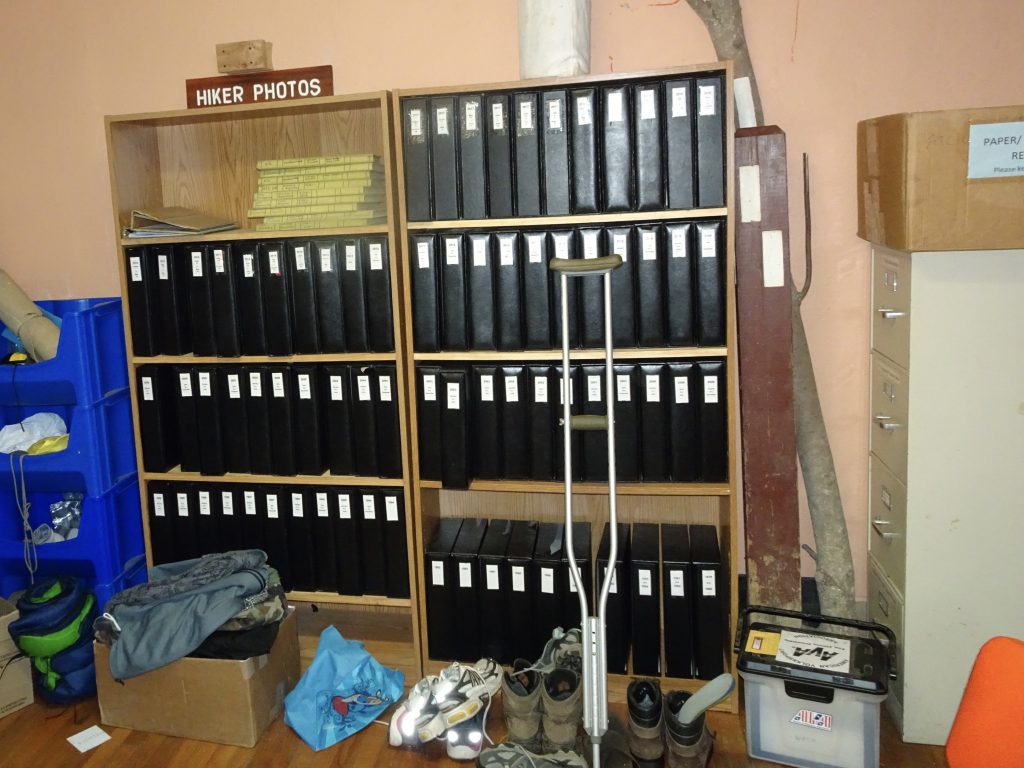
All AT thru hikers are asked to check in at the headquarters.  There the staff takes your picture next to their sign.  After you add your relevant data to your picture card, it is inserted into their notebook for posterity.

The Hiker Archive

Bilbo – Northbounder number 816 to reach Harpers Ferry

Harpers Ferry has a rich history.  During the Civil War, the town was coveted for its strategic location at the confluence of the Potomac and Shenandoah rivers.  Over the course of the  war, Harpers Ferry changed hands eight times between the Union and the Confederate armies.  Prior to the war, abolitionist John Brown had conducted his famous raid on the town’s US arsenal in a failed attempt to instigate an armed slave revolt.

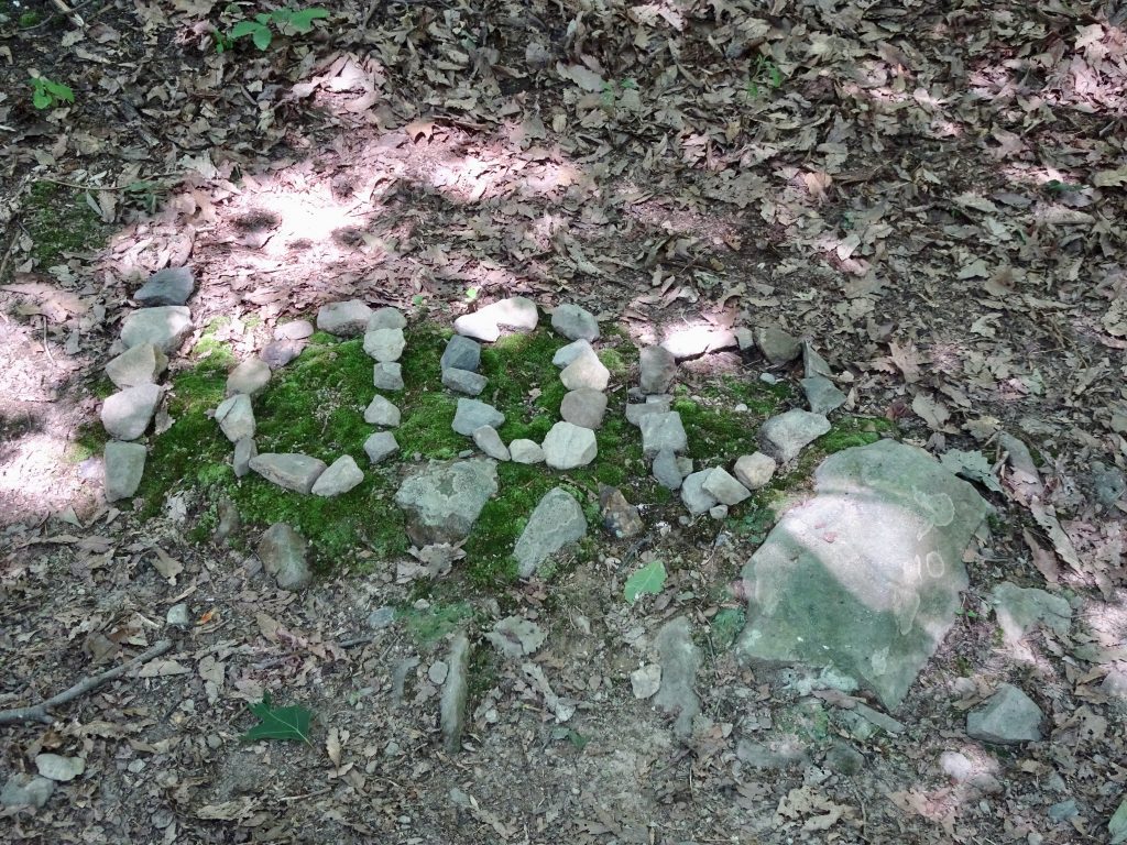
Leading into Harpers Ferry, I hit a couple of milestones.  One notable event was reaching the 1000-mile mark.

1000-Mile Mark

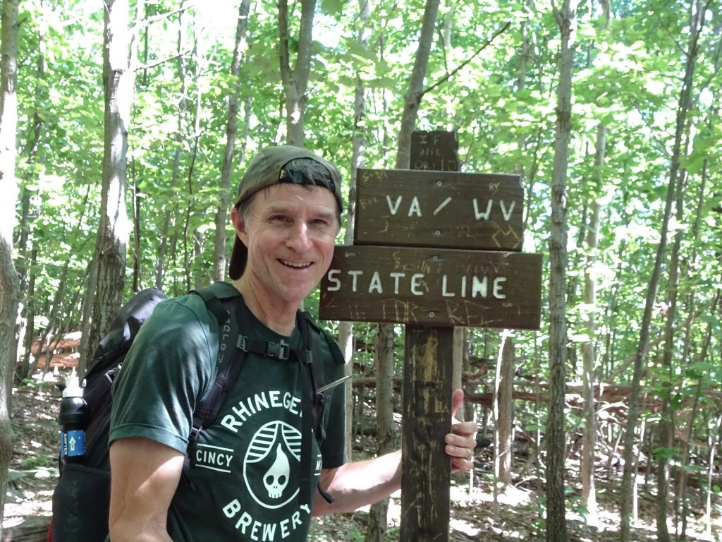
The other milestone was leaving Virginia after hiking 554 miles across the state.

Goodbye to Virginia

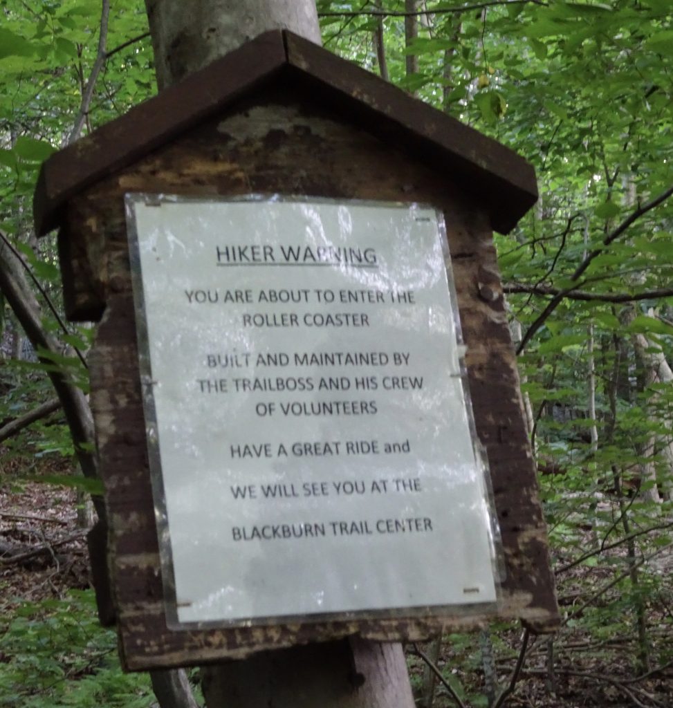
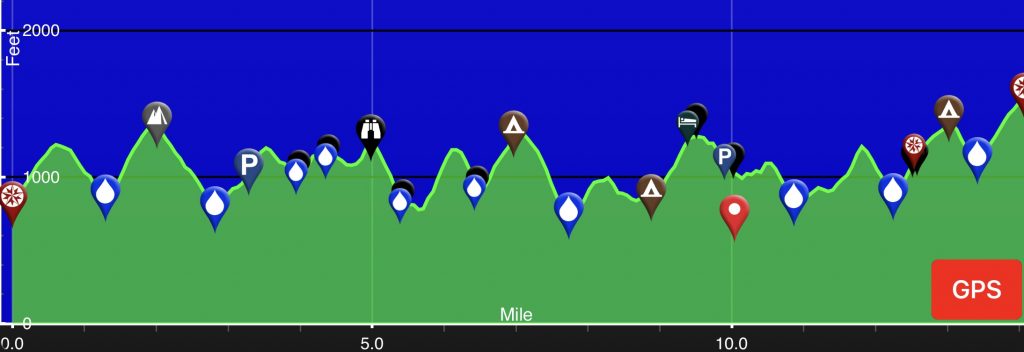
The final obstacle to hiking out of Virginia is “The Roller Coaster”.  Covering 14 miles, the Roller Coaster has ten climbs, totaling 4600 feet of ascent and 3900 feet of decent,  I suspect the trail builders take some sinister pleasure in torturing hikers.

Sign at the start of the Roller Coaster

Elevation Profile

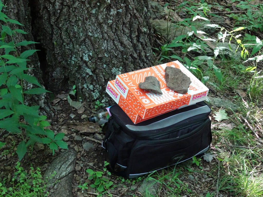
One bright spot on the Roller Coaster was some unexpected “trail magic” at the top of one of the climbs.  Just sitting there along the trail with nobody around was a cooler of drinks and two boxes of donuts.  As God as my witness, I only ate one donut.  I could easily have snarfed down a whole box.

Trail Magic

Amtrak has a daily run between Harpers Ferry and DC which is really convenient.  I took advantage of this to make a side trip into DC to see my sister, Roberta, and her husband, Phil.  My overnight visit flew by quickly, but it was really great to see them.

The trail out of Harpers Ferry crosses the Potomac via a railroad bridge pedestrian walkway then takes a right turn onto the old C & O Canal towpath.  As I hiked down the towpath, it dawned on me that once before I had been on this very same section of towpath.  In 2007, I ran an ultramarathon called the JFK 50 Mile.  The JFK 50 route covers 13 miles of the regular AT trail, 26 miles on towpath, and the balance on country roads.  So here I was, eleven years later on the same route carrying a pack and going the opposite direction.

I recollect going into that race thinking the towpath section would be the easy part because it was “flat”.  It must have escaped me that the towpath follows the river, and that rivers tend to run downhill.  Come race day, I am out on the towpath, about 30 miles into the run and feeling worn out.  I remember remarking to a fellow runner that I thought this towpath was supposed to be flat.  I will never forget his reply.  “Brother, every dang step of this thing is uphill.”  That day, I learned a life lesson.  When embarking on any major undertaking, don’t go into it with preconceived expections.

Some flora and fauna along the trail…

Orange Lily

Wood Duck (Female)

Eastern Painted Turtle (covered in Duckweed)

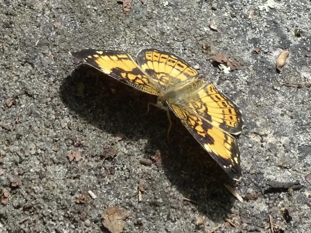
Pearl Crescent

If you’d like to receive an email when a new post is up on the blog, click the email icon on the bottom of the page to subscribe. Thanks for following!
Shenandoah National Park

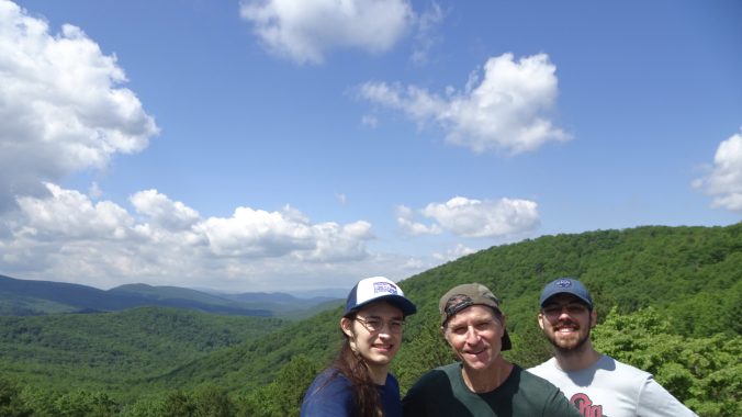
The Appalachian Trail follows the entire length of Shenandoah National Park from south to north, covering 103 miles.  My journey through the park was made special by having my son, Logan, and son in-law, Julian, accompanying me on the trail for the first half of the park.  To top it off, my wife, Nancy, and daughter, Shelby, joined us in the midpoint of the park to stay in lodge.

For not having their “trail legs”, Logan and Julian did a great job, covering 57 miles in five days.  During their hike, they got the total experience: carrying a heavy pack, walking the “green tunnel”, tent camping, meeting other hikers, bugs, hiking in the rain, and of course, bear encounters.

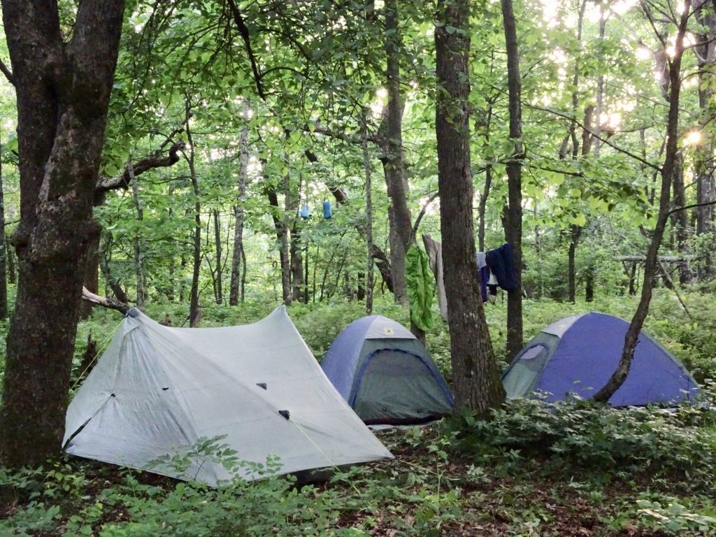
Stealth Camping

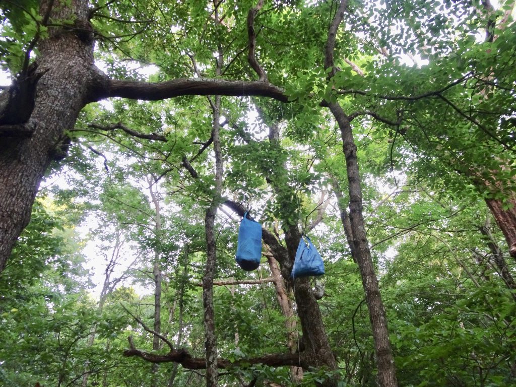
Bear Bags Hung

Logan had a particular aversion to the insects, and would frequently make pronouncements like “Nothing is more sacred than the buglessness of the body.”  In contrast, I discovered that after over two months on the trail, I no longer notice the cloud of gnats around my head.

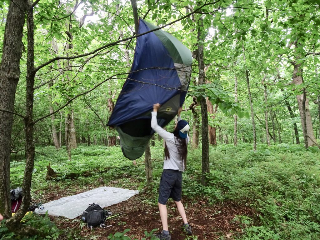
Logan shaking the bugs out of his tent

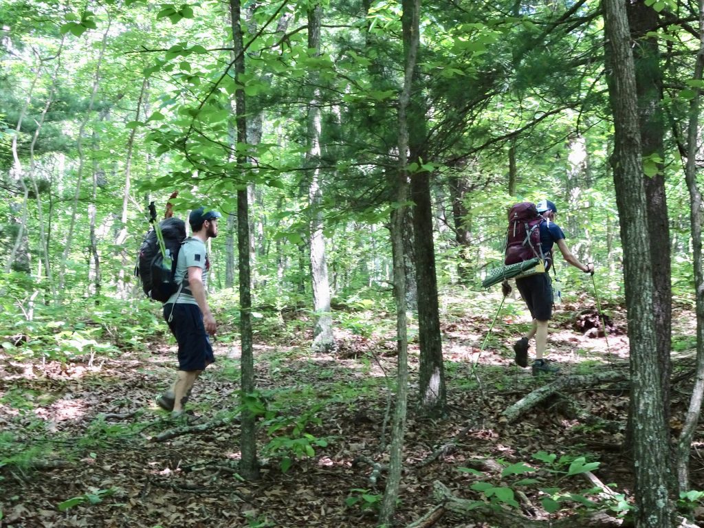
Logan coined a new hiking term, “trudge mode”, to describe walking uphill, heads down, without breaks – usually at the end of the day heading for camp.

Julian and Logan in “Trudge Mode”

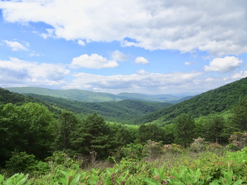
The weather for hiking was generally good so we were treated to some good views.

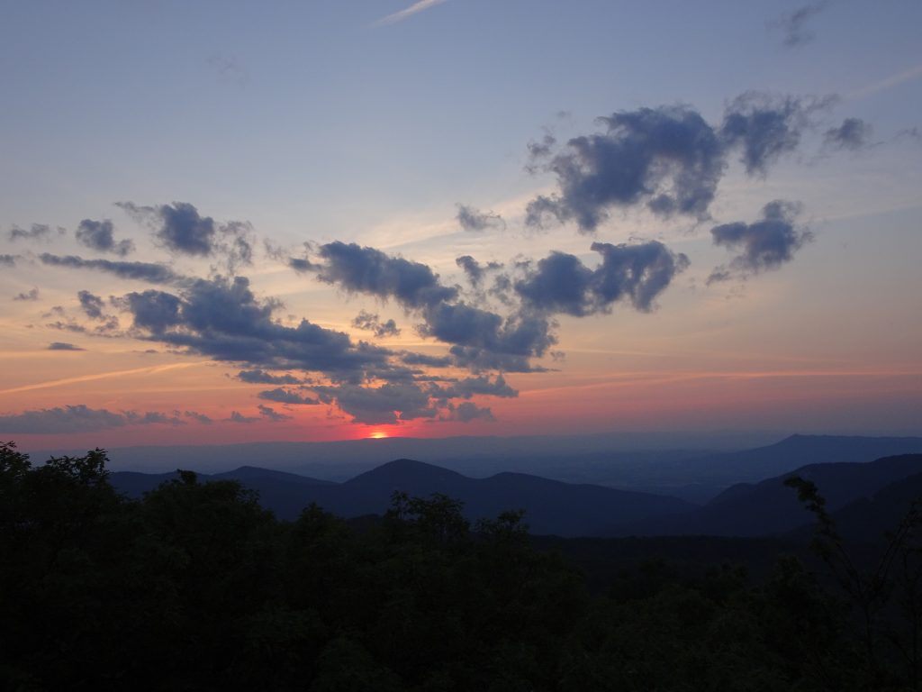
View of sunset from Loft Mountain

Looking West

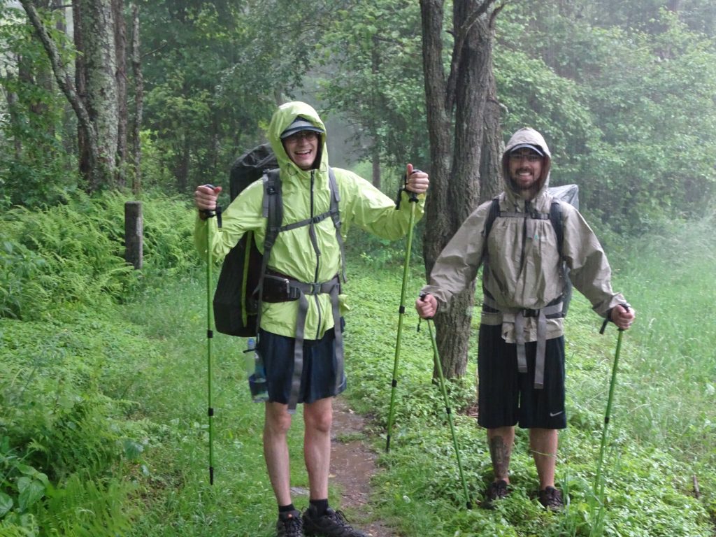
I did get some fiendish pleasure when it did rain, since the boys would not have gotten the “total experience” without having hiked in a rainstorm.

Hiking in the Rain

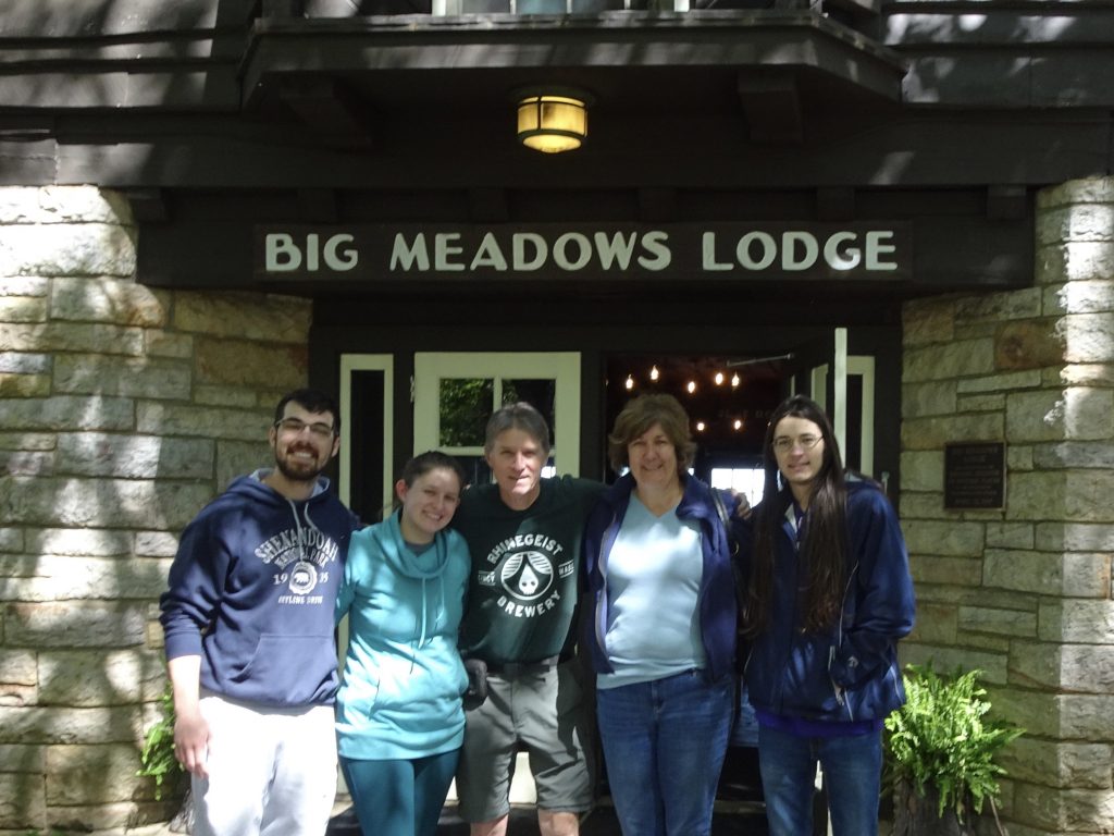
Not as a result of any careful planning, but by pure luck, we hiked up to Big Meadows Lodge about thirty minutes before the women arrived by car.  The lodge, completed in 1939, has a rustic charm. Our rooms were completely wood-paneled – floor, walls, and ceiling with “native wormy chestnut which is now virtually extinct” – according to the plaque.  (I was happy to see they had installed a robust smoke detector and sprinkler system to prevent us all from going up in smoke.)

Family Photo

Among the other charms of an 80-year-old hotel are a lack of soundproofing and porosity to rodents.  Nancy and my room was right over the lobby/common area.  We could hear all the goings-on in the hotel, and presumably vice versa.  One evening, Shelby was in the common room and texted Nancy in our room, “Did you just sneeze?”  Sure enough, she had.  We heard various reports of people with mice in their rooms.  I reported a mouse late one night to the front desk, assuming there really was not much that could be done.  The desk clerk disappeared for about twenty minutes and returned to hand me a mouse trap and a slice of Swiss cheese.  I give her an “E” for effort.

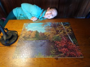
During Nancy and Shelby’s stay, it was rainy and foggy so we spent a lot of time in the common area playing games and puzzling, as well as taking in the house entertainment.

Puzzle Master

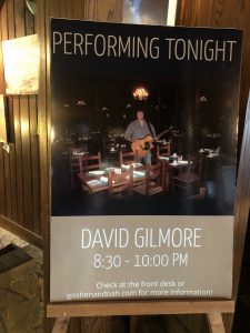
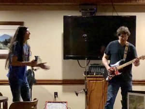
House Entertainment

When Logan saw that the evening performer was named David Gilmore, he had faint hopes that this could be a cover act for the David Gilmore, the famous lead guitarist for Pink Floyd.  When the first song was “My Girl”, his hopes were dashed.  The performer said he had strict instructions from the house to “play whatever you want.”  We ended up enjoying his set, with Nancy and Logan even getting in on the act.  As luck would have it, Nancy was walking in the door when the singer was asking for help on percussion.

Nancy the Percussionist

Logan showing his chops on tambourine

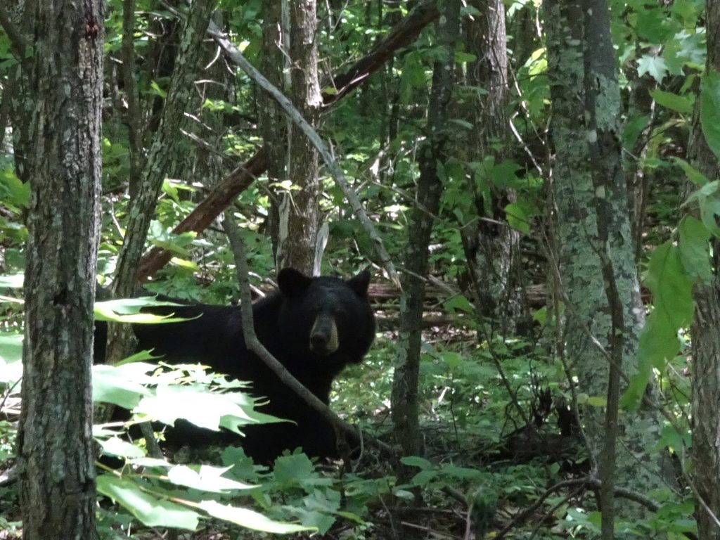
Shenandoah National Park is all about the bears.  There are images of bears on the signs, t-shirts, mugs, keychains- you name it.  The Shenandoah black bears are plentiful, and not a bit afraid of people, but anything but tame.  This seems to me like a bad combination. The park has done an admirable job of installing bear boxes at campsites and bear poles at shelters – all to keep the bears from associating people with food.  If you car camp, you have a bear box right by your picnic table.  Unfortunately, you have <insert your own adjective here> tourists who leave trash around, or even feed the bears.  Bears being such a focal point, my post would not be complete without a couple of bear stories.  All told, I had two bear encounters while hiking with the boys, and two more while hiking alone.

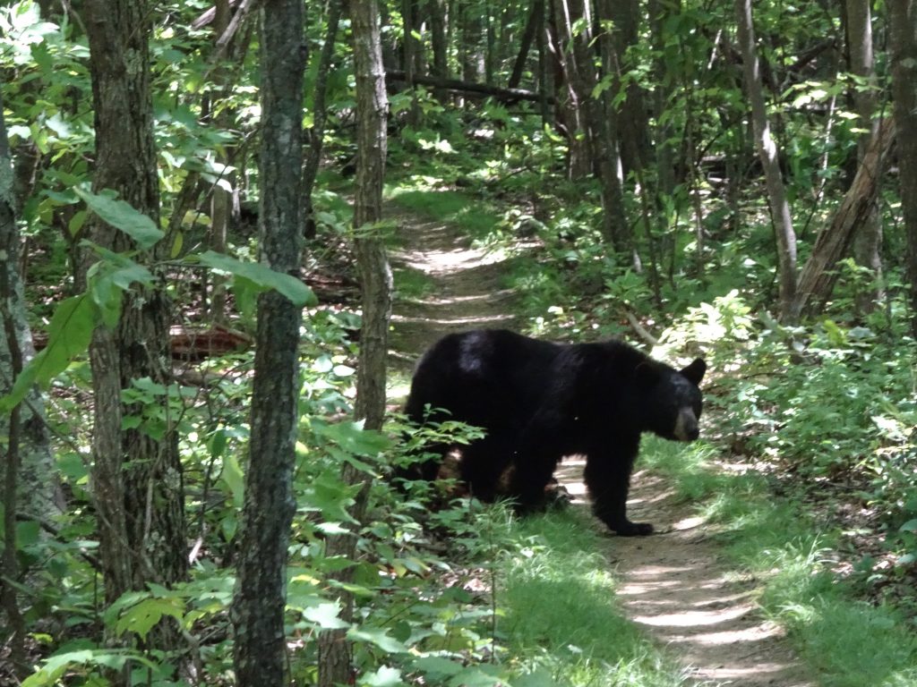
Logan, Julian, and I saw our first bear feeding very close to the trail. After a few minutes, three more hikers came up behind us – so we had strength in numbers.  The bear completely ignored us while we took a few pictures.  After waiting a while for the bear to move, we decided to all clack our trekking poles together to get the bear moving.  This appeared to just annoy the bear rather than scare him, so we waited him out and he eventually moved on.

Bear checking us out

Bear crossing the trail

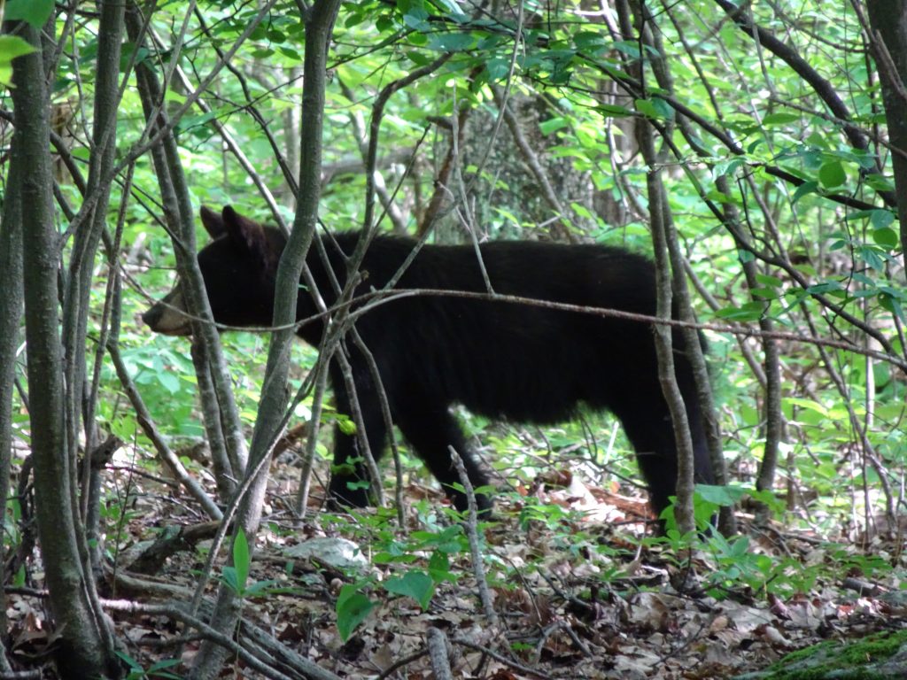
I was hiking alone when I came upon my last bear – a pretty good sized one.  He was also near to the trail and I didn’t see him until I was way too close.  I backpedalled quickly and managed to fall flat on my back (fall number four for my hike).  After a while, an older lady hiker came up from behind.  We waited a while, but there would be no strength in numbers – we were on our own.  We clacked our sticks, yelled, and whistled but the bear stayed put.  I tried moving down the trail closer, but instead of moving away, the bear seemed to take a step towards me, so I beat a hasty retreat.  Dang you stubborn bear, out of our way!  After strategizing with my hiking parter, we decided to do a bypass.  Fortunately, there was no steep dropoff on the other side of the trail.  We bushwhacked down the mountain, over logs and around boulders, then back up to the trail beyond the bear.  Problem solved.  I will be quite happy if I see no more bears on the trail.

Bear 3 for Randy – An adolescent

Other flora and fauna from the park…

Black Vulture

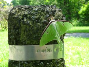
Luna Moth

Cottontail Rabbit

Whitetail Deer

If you’d like to receive an email when a new post is up on the blog, click the email icon on the bottom of the page to subscribe. Thanks for following!
« Older posts

© 2025 My Thru Hike

Theme by Anders NorenUp ↑