Or, There and Back Again

Month: May 2018 (Page 1 of 3)

For Nelson

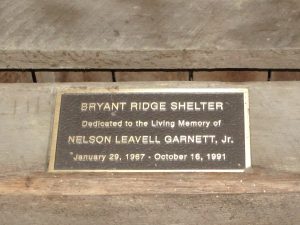
I arrived at Bryant Ridge Shelter on the evening of Memorial Day.  I had been hustling to get there as it was starting to rain.  My trail guide said the shelter held up to 20 people, so I knew there would be room.  It was pleasant to find that the shelter was not just spacious, but beatifully designed and built as well.
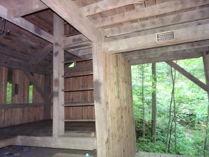
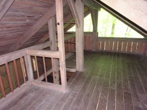
Most AT shelters follow a relatively cookie-cutter design.  They have a wooden platform to hold six to eight hikers, walls side and back, and a rectangular slanted roof.  Usually, there is a picnic table for cooking and eating in good weather.  Architected for simplicity and utility, the Bryant Ridge Shelter is a palace by comparison.  It has two levels for sleeping plus a large porch area to cook and commune out of the weather.  There are pegs and hooks everywhere to hang up packs and gear.  Everything a hiker needs!
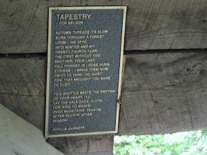
Exploring the upstairs, I found a plaque containing the poem tucked up under the eaves.  The next morning, as I hiked up out of the valley, it occurred to me what an extraordinarily fine memorial this is.  Sitting right on the AT and also accessible by a short side trail, this shelter must provide comfort to thousands of hikers.  Nelson, I don’t know your backstory or what you did in life, but you have the gratitude of this weary thru hiker.

A few days ago, I had my first sketchy water crossing. So far, I’ve had to trudge through several creeks with water up to my calves, but nothing dangerous.  My trail guide said, “Cross Wilson Creek by stepping across the rocks.”  On this day, Wilson Creek was a torrent of brown, boiling water.  It had rained hard about an hour earlier.  I searched up and downstream and finally found a log to cross.
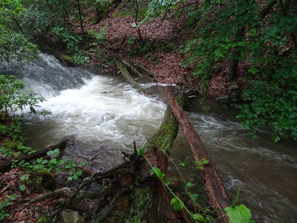
Bridge across Wilson Creek

I tossed my trekking poles across javelin-style, then scooted partway across on my butt, and then the rest of the way on hands and knees like a wounded squirrel.

Back at the trail crossing, I found a hiking couple strategizing their crossing.  I directed them to my log and walked back there to offer assistance if needed.  Apparently, I am a male chauvinist, as I expected the woman to be the one needing the help.  As it turned out, her partner had some difficulty, but she scampered across like a real squirrel.

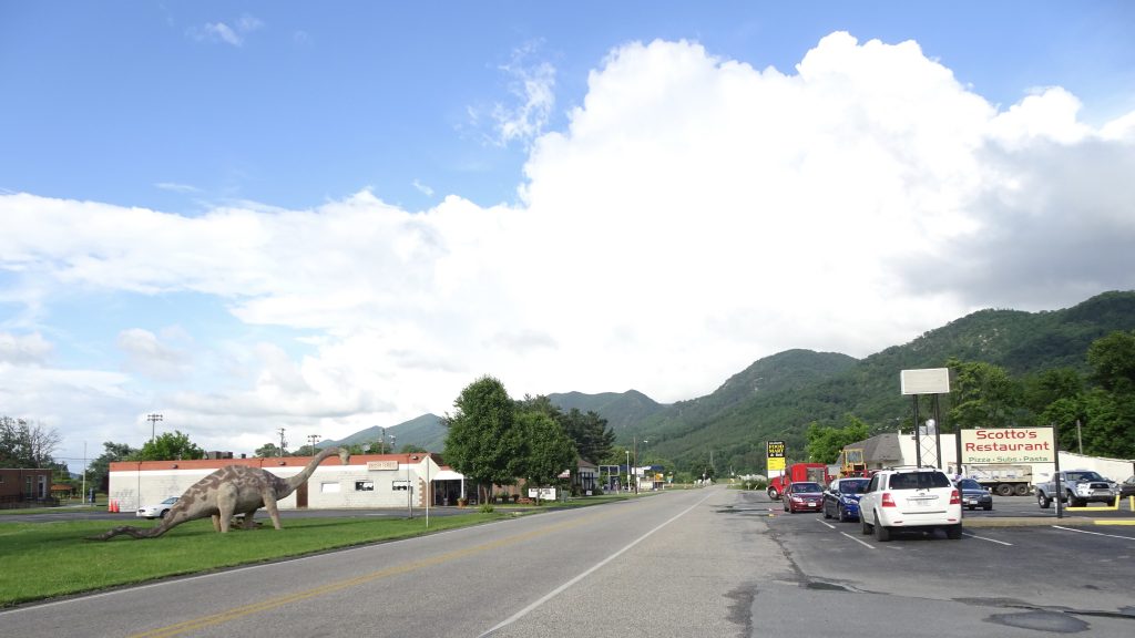
I resupplied and stayed at a hostel in the town of Glasgow, VA.  I love these small mountain towns.  With about 1000 residents, Glasgow is about half the size of my home town of Germantown, NY.  It has two small groceries and seemingly one of everything else (one restaurant, fire department, auto garage, rec park, post office, and so forth.)  Unlike Germantown which boasts a single red light, Glasgow has none.  They do have a dinosaur, though…
The weather of late has been foggy and overcast.  There has not been much to see from the overlooks, but the plants seem to like the damp weather.
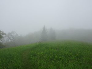
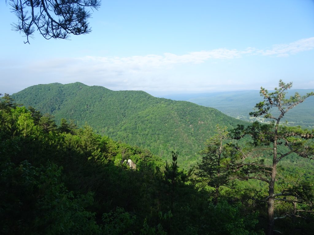
View on Apple Orchard Mountain
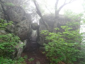
Managed to survive “The Guillotine”

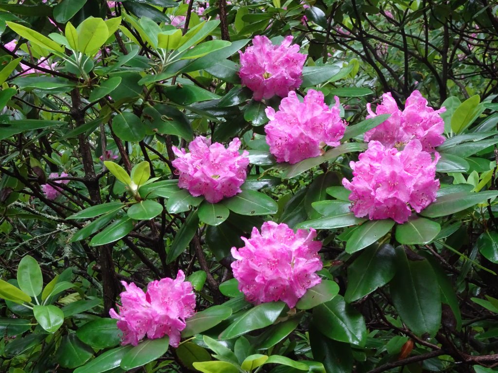
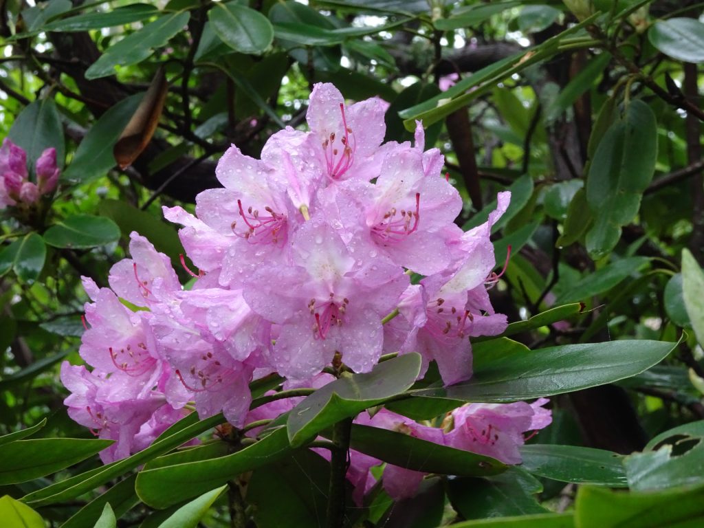
I was beginning to think that the rhododendrons were done blooming.  Most of the blooms had wilted or had fallen to the ground.  Yesterday, when the trail climbed back over 4000 feet elevation, I was pleased to find the rhododendrons were back in all their glory.  The photos don’t do them justice, but I can resist posting a few samples from my “rhododendron gallery”.
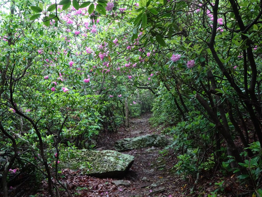
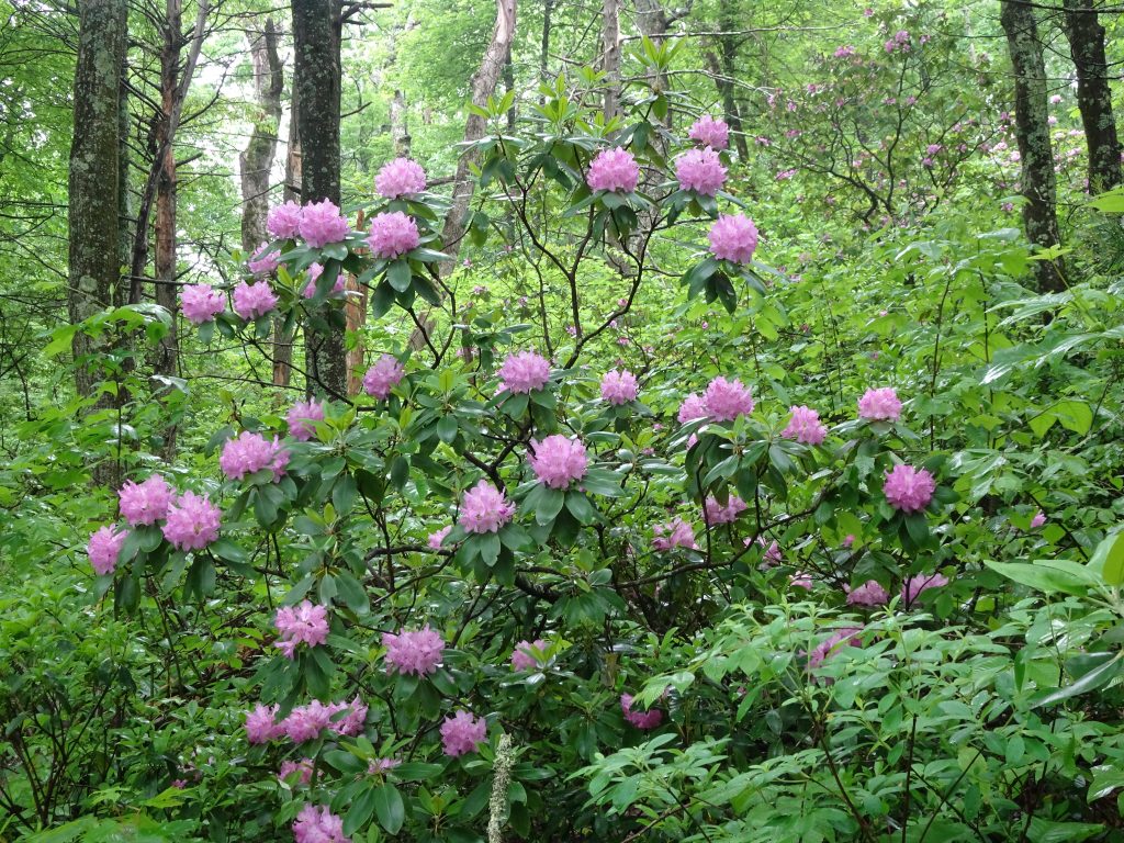
I see quite a few mockingbirds, but only in the pastures or in town, never in the forest.
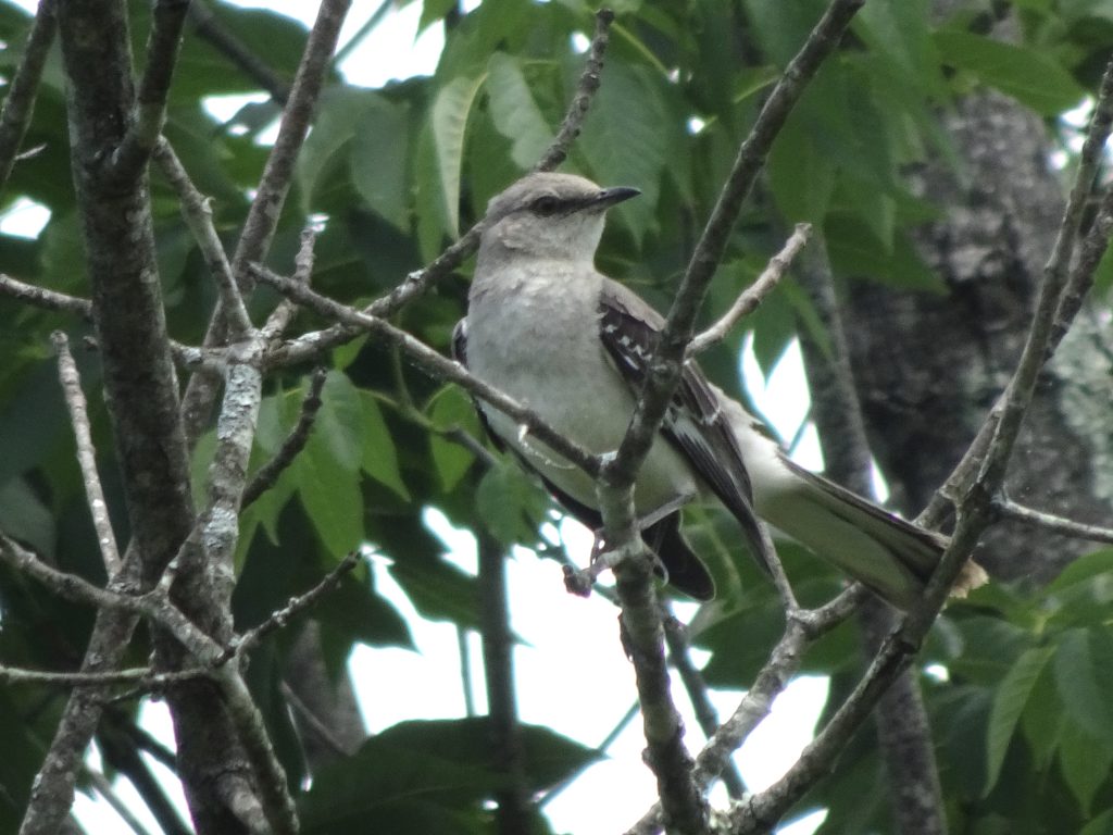
Northern Mockingbird

Other flora and fauna…
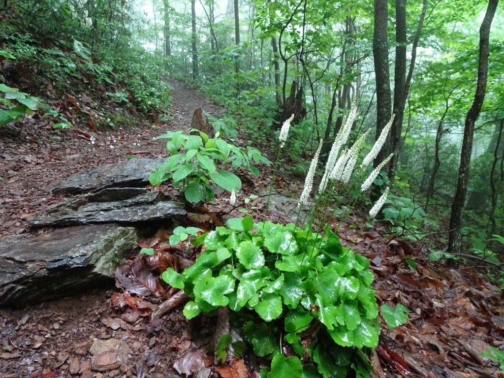
Galax
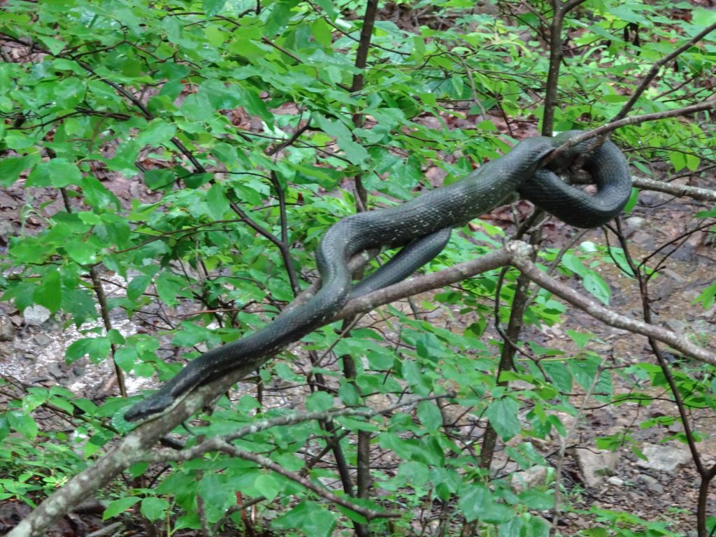
Black Snake lounging in the shrubbery

If you’d like to receive an email when a new post is up on the blog, click the email icon on the bottom of the page to subscribe. Thanks for following!
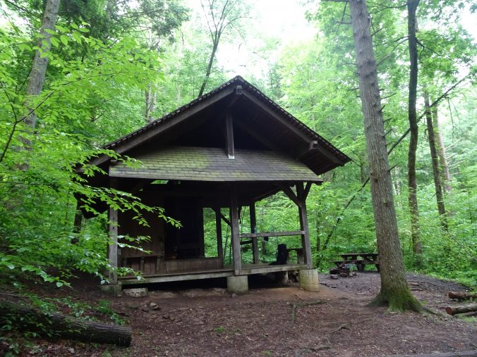
Ridges of Virginia

The past week has been spent hiking on the ridges of Virginia.  Rather than a series of domes, the Virginia mountains have more of a ridge-like character.  The trail generally follows the spine of the ridge.  On each side is a grassy green valley with another ridge behind it.

I have a love-hate relationship with these sections of trail.  Sometimes after hours of picking my way around and over boulders, I am thinking, “When will these rocks ever end?”

In other places, the ridge top might be a grassy forest road with views into the valley through the trees.  Stolling through these sections while taking in the scenery, I think, “Wow!  This is what the AT is all about.”

Clear Sailing

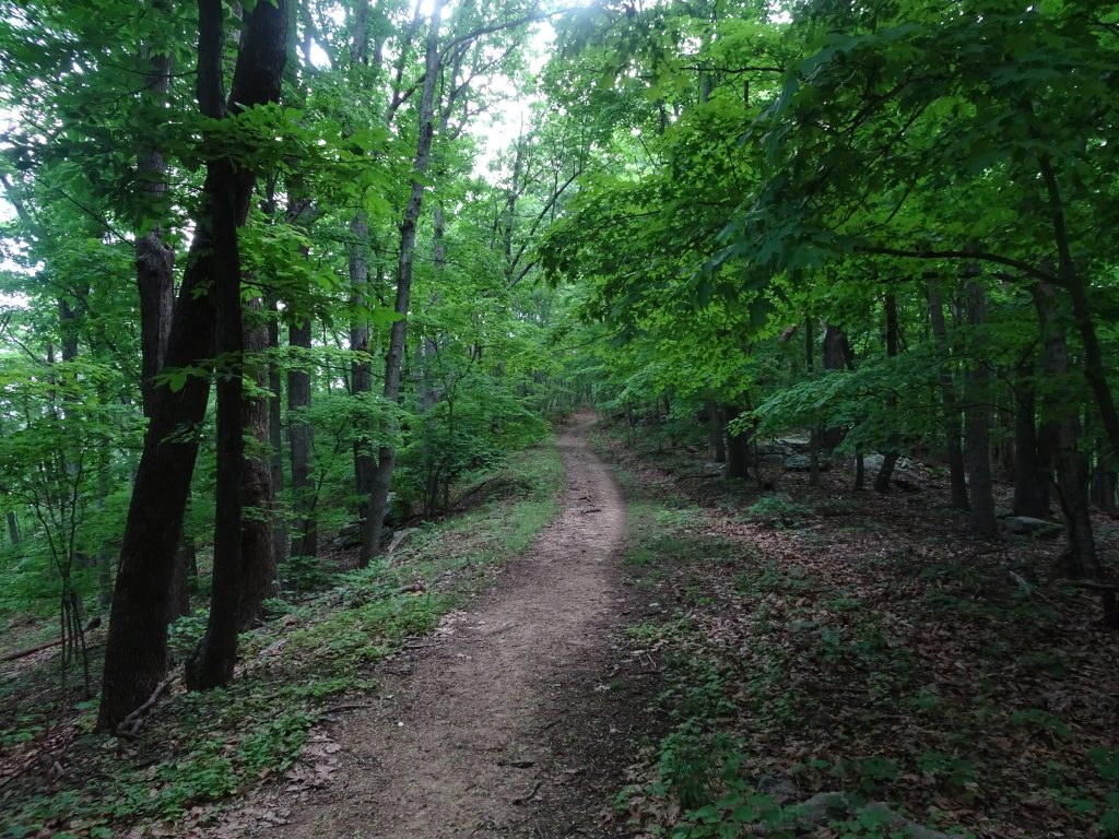
Often when hiking in the “green tunnel”, I have little perspective on where I am going.  Only when I look back do I see where the trail has taken me.

Looking back at where I’ve been

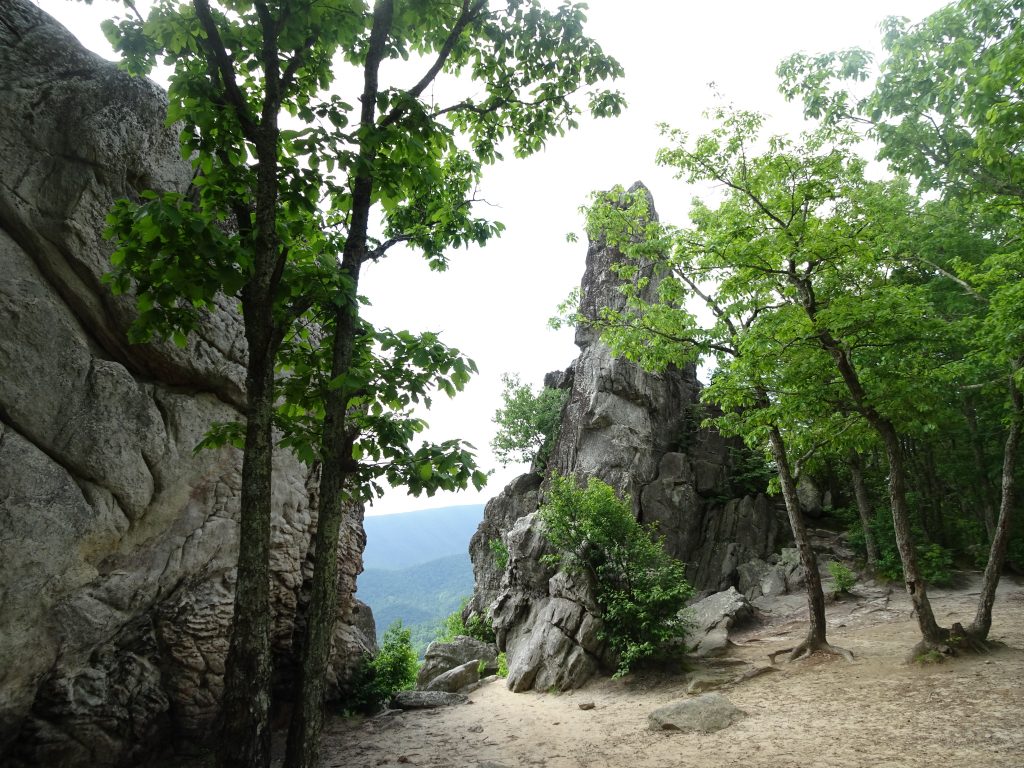
The rock formation, known as “Dragon’s Tooth”, is a popular day hiker destination.  It looked not too difficult to climb it from the back side to perch oneself on the top of the tooth.  I was considering this when I remembered Nancy’s words, “In all situations, ask yourself, what would Nancy do?”  I mentioned this to another hiker.  She said my motto should be WWND.

Dragon’s Tooth

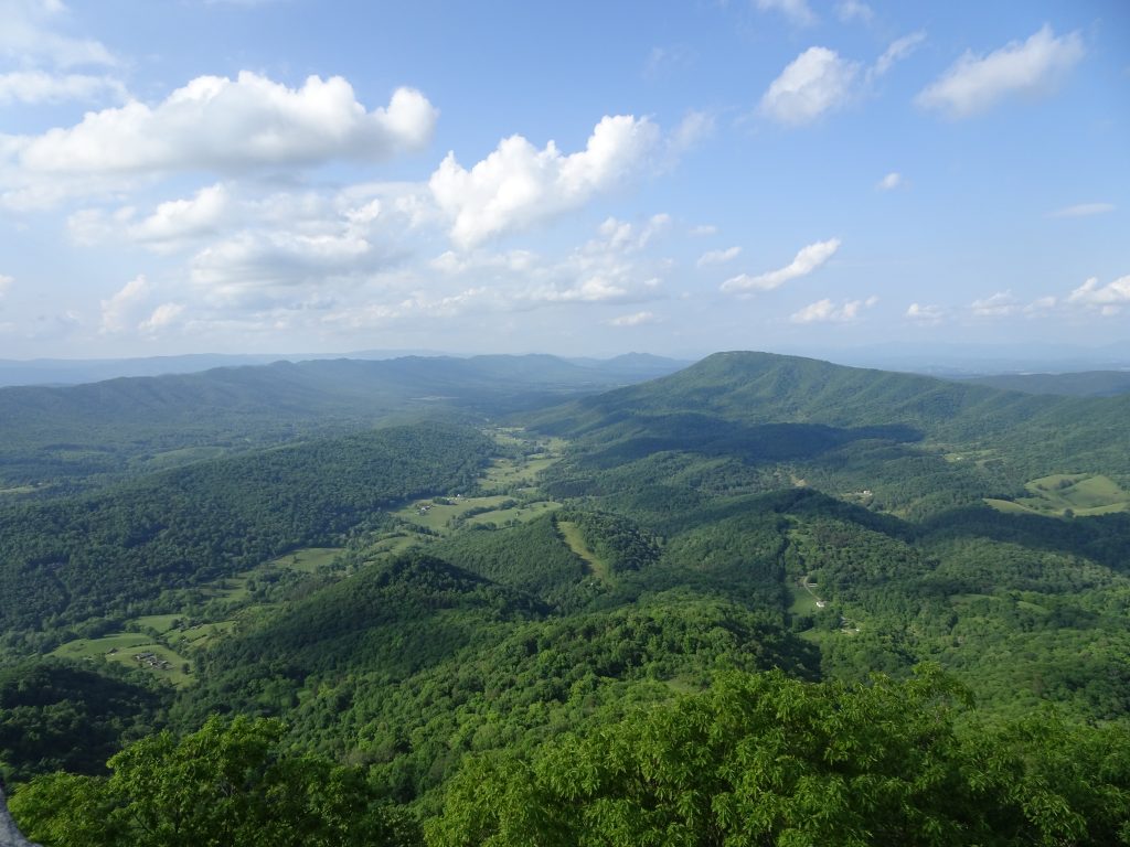
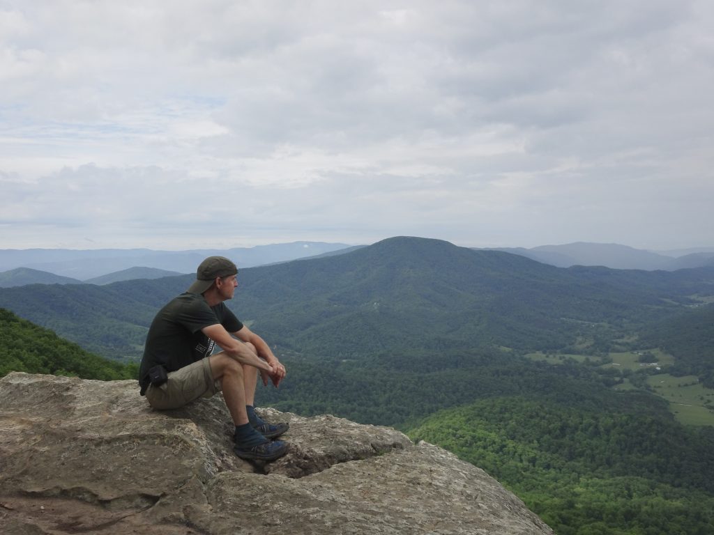
The trail also took me to the summit of McAfee Knob and skirted Tinker Cliffs.  These two points of interest, along with the Dragon’s Tooth are called the Triple Crown by Virginia hikers.

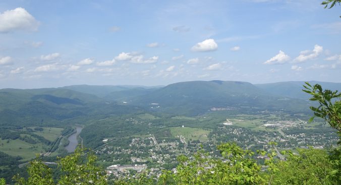
View from McAfee Knob

Looking back at McAfee Knob from Tinker Cliffs

A big source of controversy in this area of Virginia is the Mountain Valley Pipeline.  For a couple of years, I had been hearing about this natural gas pipeline which will actually cross under the trail at one point.  I did not expect it to be “a thing” out on the trail.  Before leaving Pearisburg, I read in the Roanoke Times about two women (one named Fern, the other named Nutty) who were camped on rope-suspended wood platforms blocking the drillers.  The authorities have apparently been trying unsuccessfully to starve them out by arresting anyone who tries to bring them supplies.

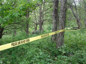
No sooner had I hit the trail out of Pearisburg than I ran into a Forest Service ranger.  He politely told me, in effect, to stay on the trail and mind my own business.  The reason for this became clear when I came open a colorful sign, and a few miles later, police tape.

This is part of a bigger battle between the petroleum interests and the environmental folks would want to stop fracking and reduce fossil fuel consumption.  The AT is just the poster child.  After all, who doesn’t like a trail?  As a thru hiker, my selfish view is that the pipeline would not much diminish my experience as I am already passing under power lines nearly every day.  As a local person who will now have to look up at a new stripe down the mountain, I am sure I would feel quite differently.

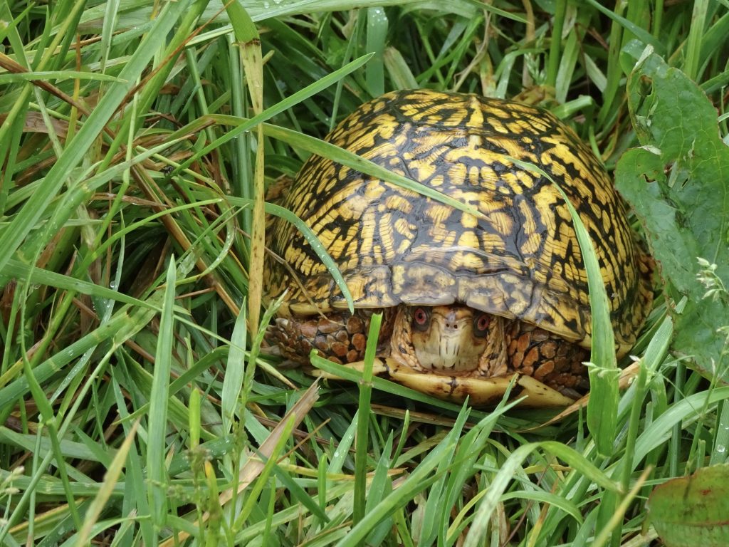
I have seen a few turtles along the trail.  Here is a very colorful box turtle I saw in  a cow pasture.

Woodland Box Turtle

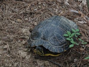
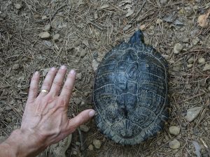
Just the other day, I saw this very large turtle right on the path of the trail.  He’s too large to be a box turtle.  After some Googling, I suspect this is a turtle called a Cooter.  Cooters are aquatic turtles, but there was a stream within a few hundred yards.

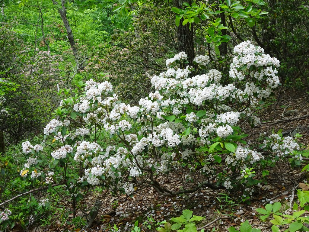
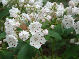
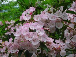
This past week, the mountain laurel has come into full bloom.  The laurel grow in large splashy groves, but are most beautiful when viewed closely.  Most are predominantly white, but some shade towards pink.

Mountain Laurel

Up Close

Pink Variety

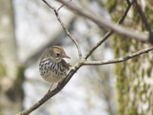
On the birding and lepidopterology front…

Wood Thrush

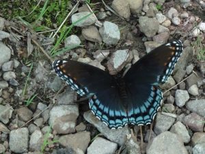
Red-spotted Purple

If you’d like to receive an email when a new post is up on the blog, click the email icon on the bottom of the page to subscribe. Thanks for following!
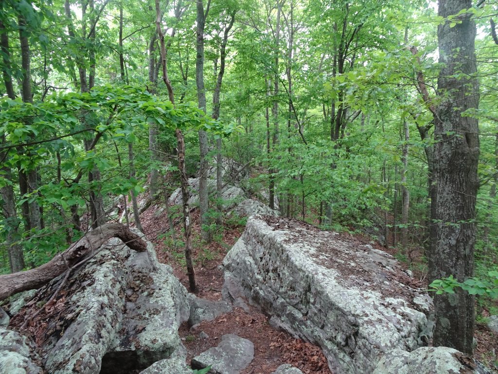
Pearisburg, VA

I rolled into Pearisburg last evening and am staying at a hostel called Angels Rest Hiker Haven. The hostel’s van picked me up at the trailhead, “just like Enterprise”, as they put it.  I decided to take a rest day today (“take a zero”, in hiker slang), to rest up and let my feet heal up from hiking five straight days in wet shoes and socks.  Yesterday, I felt a little like a hiking robot walking on rocky trail with sore feet.  This will be my first zero since Hot Springs.

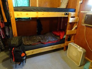
Pearisburg is a nice small town with everything a hiker could want – a Mexican restaurant, a Chinese restaurant, a Food Lion, and a hiker shop.  The folks in the hiker shop seemed very proud of their state and talked enthusiastically about all the things I can expect to see up the trail.  My hostel is the Cadillac of hostels, compared to most others I have stayed at.  It features a three-shower bath house with modern plumbing, two kitchens, a common area, a laundry room, and bunks each with their own electrical outlets.

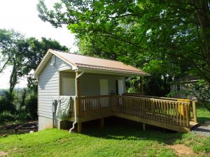
Bath House (My tent drying on the railing)

Randy’s Bunk

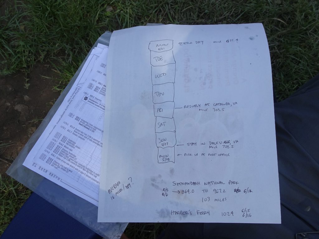
In addition to resting my feet, I have been able to do some chores like laundry, backflushing my water filter, drying my gear, and buying food.  In order to figure out how much food to carry, I study my trail guide and figure out where my next resupply points will be.  Here is my high tech planning sheet.

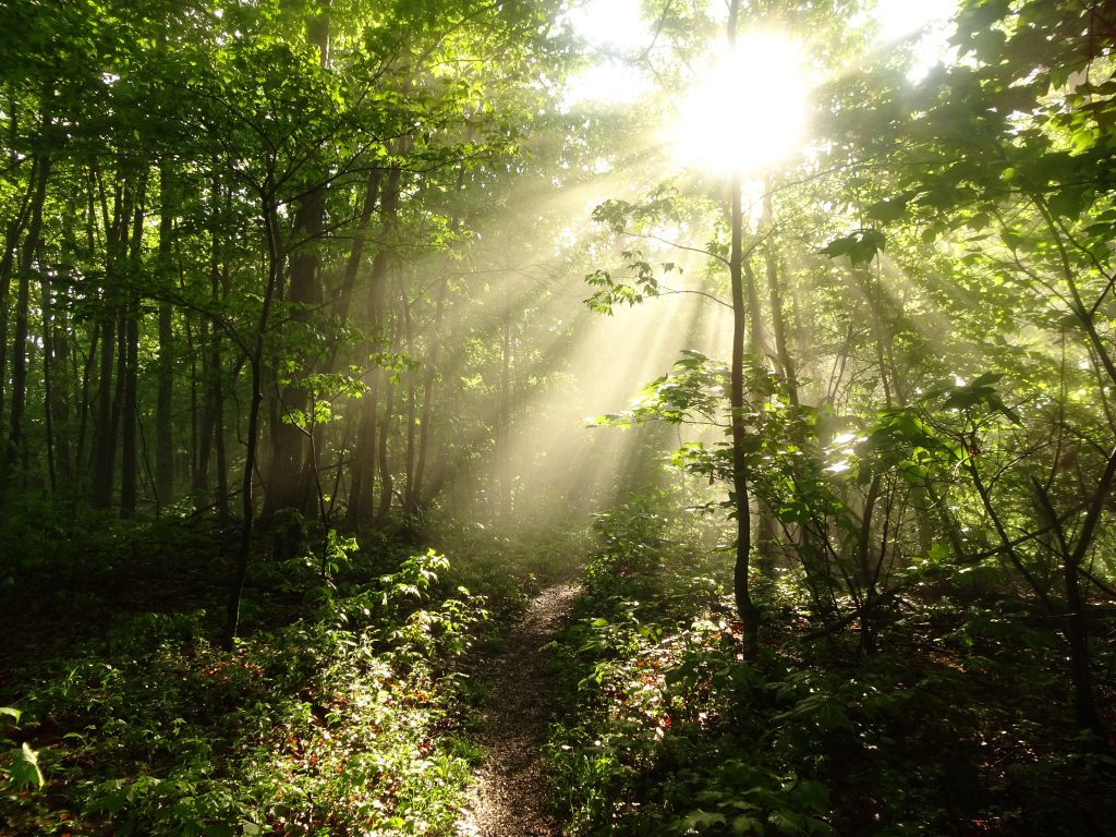
The weather seems to be improving.  The last few days have had morning sun with afternoon showers, a big improvement over all day rain.  After the rains, the morning sun gives a rain forest-like feel to the trail.

Morning Mist

View from Sugar Run Mountain (Fog in the Wilburn Valley)

I had an interesting encounter on the trail the other day.  It was about 8 AM and lightly drizzling.  I had just hiked down about 1000 feet from the ridge where I had camped to a road crossing.  At the crossing was an old guy in a pack and rain poncho.  He asked if I had cell service, which I didn’t.  He explained that he was wet and cold and needed to get off trail to dry out but could not reach his shuttle.  He said, “I’m Pappy.  I am the oldest guy out here.  I’m 87.”  I told him I had cell service the previous night up on the ridge, and since I would be heading up the ridge again, should I try calling for him from up on the ridge.  He said yes, and told me, “Tell the shuttle driver (Bubba) it’s Pappy.  He knows me.  Tell him, ‘It’s a desperate situation’.”

I am not sure how desperate it really was.  He didn’t seem hypothermic to me.  But off I went, busting it up the ridge.  About halfway up, I got cell service.  I was relieved when Bubba answered his phone “Yeah?” (the typical greeting for shuttle drivers out here) and agreed to go fetch Pappy.  If I couldn’t get a shuttle, I would have had to hike back down.  I am not sure what my plan would have been, but I couldn’t leave Pappy at the trail head waiting for a ride that would never come.  I had heard folks mention Pappy before, but it turns out he is somewhat of a trail celebrity.  If you want to find out more about Pappy, check out 87-Year-Old Pappy Attempting to Become the Oldest Appalachian Trail Thru-Hiker.

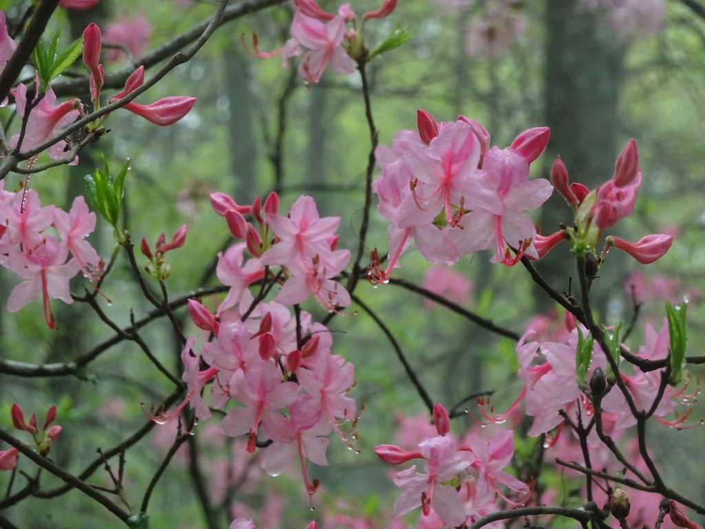
I am starting to see some of the pink azaleas that I have heard about.  So far, I have seen orange, yellow, and pink azaleas.  The hiker shop people said that the rhododendrons and mountain laurel have yet to put on their show, so I have something to look foreword to.

Pink Azaleas (also called “pinxters”)

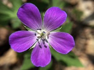
For hundreds of miles now, I have been seeing wild geraniums.  These wildflowers seem to be particular about elevation, so they come and go as I go up and down the mountains.

Wild Geranium

Wild Geranium petals

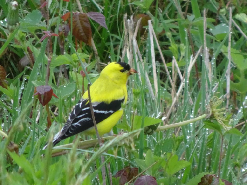
The birding has been slow with all the rainy days, but I did get this pic of a male goldfinch feeding in a meadow.

American Goldfinch

If you’d like to receive an email when a new post is up on the blog, click the email icon on the bottom of the page to subscribe. Thanks for following!
« Older posts

© 2024 My Thru Hike

Theme by Anders NorenUp ↑